

Have you heard of her? Read any of her books? She writes both fiction and non-fiction and is an odd combination of being very politically liberal and outspoken about her Christian faith. Her thoughts are oh so relatable, shocking, irreverent, vulnerable, infuriating, and at times, highly entertaining.
The books she might be most known for are Bird by Bird, about the writing process and Operating Instructions, about raising her son alone.
Here are three things that I have copied down from her writing to contemplate and muse over on today’s blog post.
“Everyone is screwed up, broken, clingy and scared.” The older I get, the more I see this is true. Those tailgaters? Yep. Politicians? Yep. Your neighbors with the glaring lights and barking dogs? Yep. The cranky salesperson at a big box store? Yep. Me? Hey, let’s not get personal here, okay?
“Try not to compare your insides to other people’s outsides. It will only make you worse than you already are.” Comparison is a terrible way to live. Just stop it.
“…deteriorating faster than you can lower your standards.” This may apply to many aspects of my life. Let’s not talk about the state of my old car, the cleanliness of my house, the number of weeds in my yard, the unsorted piles in my studio.
*Clutter is the physical manifestation of unmade decisions fueled by procrastination. -Christina Scalise
She also has a list called “Twelve Truths I Learned From Life and Writing”, which is one of my favorite Ted talks of all. I used to listen to those while painting and drawing, but now I seem to be continually trying to catch up on all the excellent podcasts I subscribe to.
About those Twelve Truths: she is oh so very wrong about chocolate with 75% cacao.
What is editing? You mean you get paid to just sit around and read??
… I’m either tending to the logistics and administrative duties of a microscopic art business* or I am editing. IF I am actually working, that is.
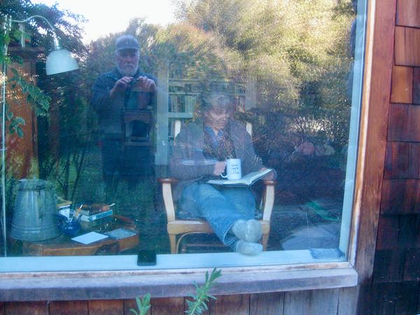
Yes but it isn’t the same as reading for escape or to learn. Instead, you read with multiple purposes. An editor’s job is to make sure the reader can flow through the book without tripping over the words.
The reading is something like this:
Meanwhile, I am keeping up with the storyline, making sure that it is moving along at a good clip. A problem with editing is that I get caught up in the story and forget to think all those multi-layered thoughts as I am reading.
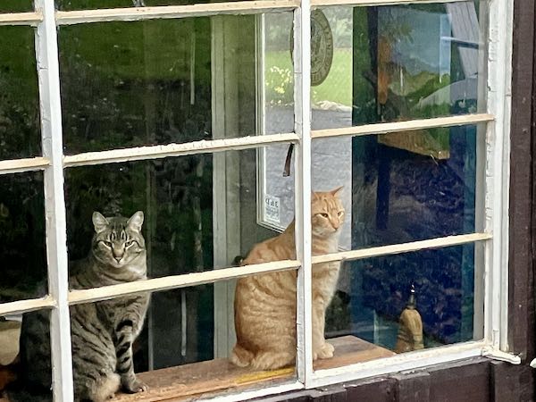
Sometimes the day goes quickly, so quickly that when I head home, I am surprised that it is dusk. I would be surprised that the cats were put away for the night if Trail Guy didn’t stick his head in the studio to let me know.
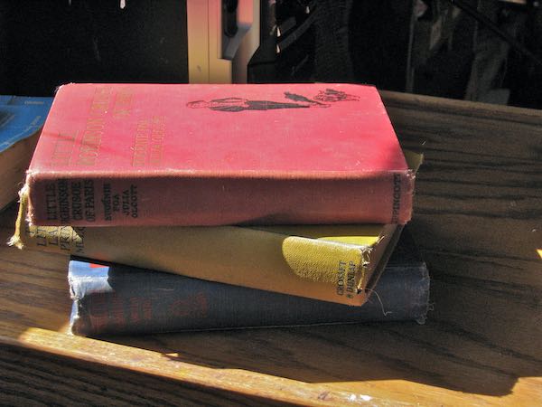
“. . . Of making many books, there is no end, and much study wearies the body.” —Ecclesiastes 12:12b
*The business is microscopic, not the actual art.
A dear friend told me that she really enjoys my blog posts when I write about thoughts. Here, this is what she said:
Maybe it’s because I’m a worker of words, but I really enjoy your entries that describe your central valley world, your life in it, and your feelings. The reader responses you receive indicate many others do too. I believe getting to know the artist who produces beautiful views of the world beyond our human angst and cultural foibles is an important part of any sale, and I hope you keep posting such thoughts often! I can see them in a book of your own some day.
Wow. That was thought-provoking, encouraging, and as always from this friend, very kind.
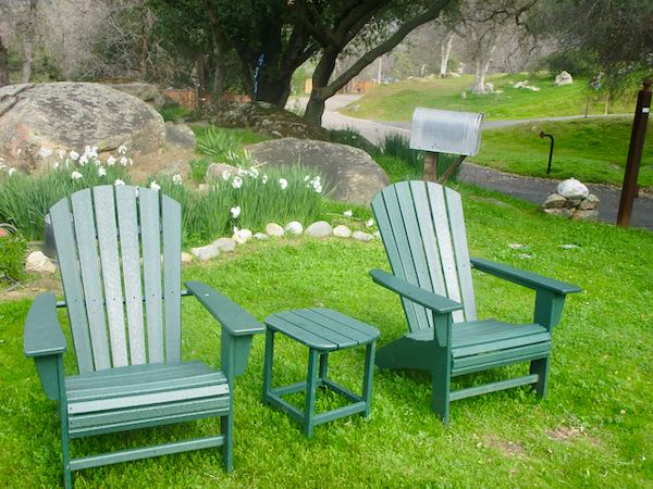
Late one night I had a mental list of ideas to write about. Instead of writing, I went to bed. Now my head is empty, so let’s just have some photographs today with a little commentary.
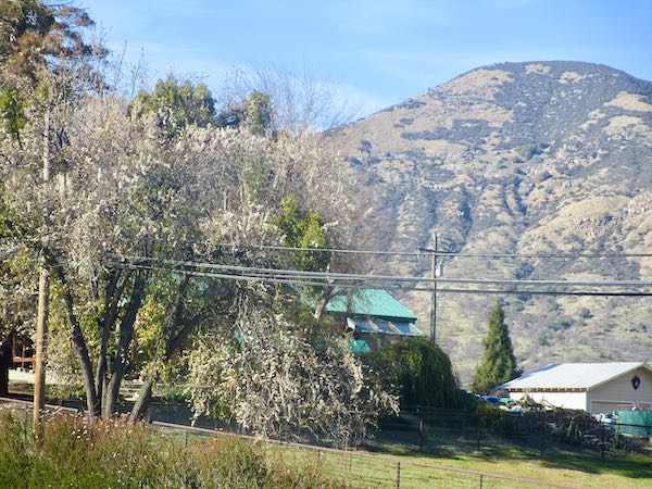
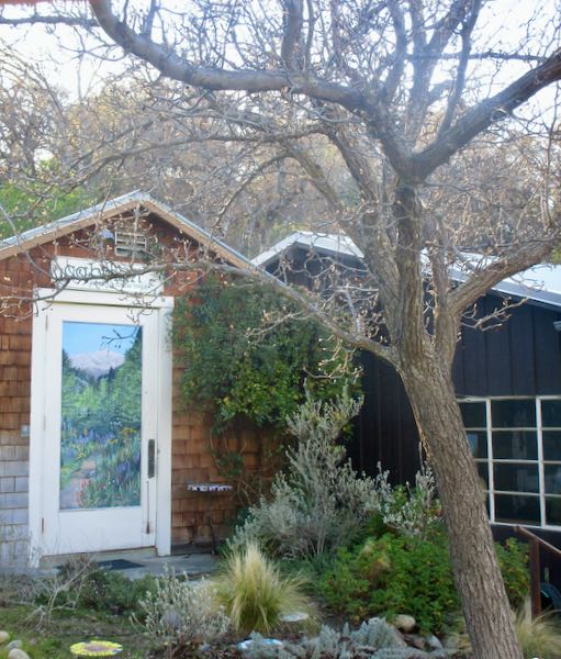
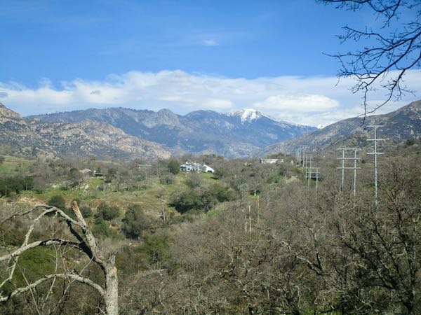
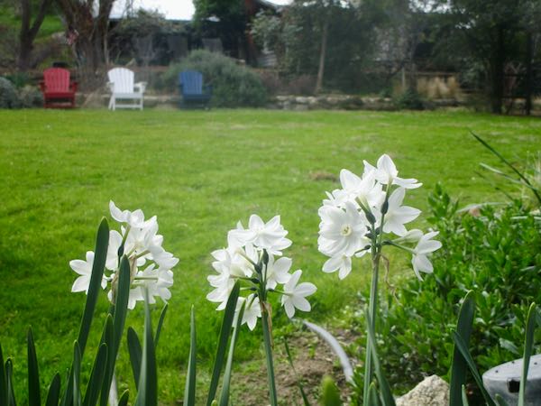
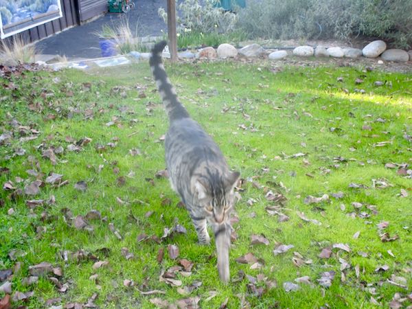
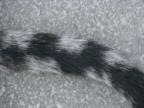
Both cats came from the same place; well, more accurately, Jackson’s mother came from the same place as Perkins.
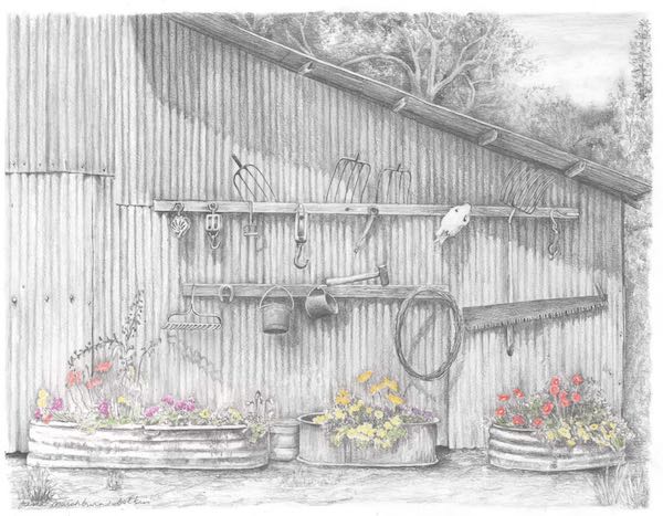
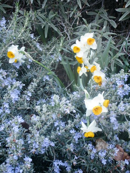
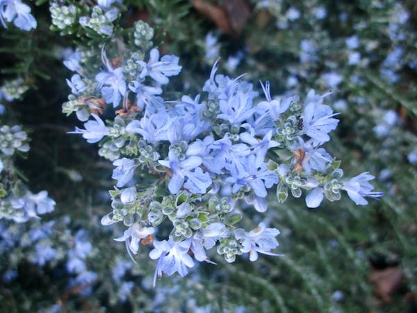
Okay, maybe I’ll just sit here for a pair of minutes and see if any of those great late-night thoughts reassert themselves.
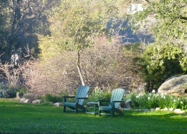
Guess not.
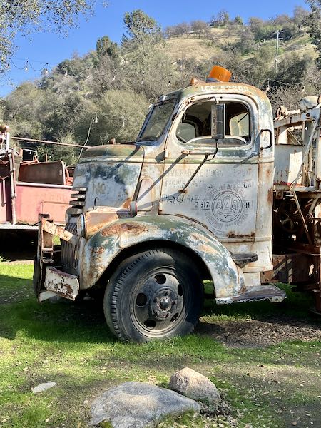
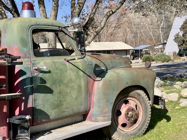
There is an excellent museum in Three Rivers, and parked in front are some old fire trucks plus this tow truck. I had to wait for a couple of friends stuck at one of the many ongoing lengthy roadblocks, so I wandered around with my inferior phone camera.
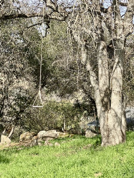
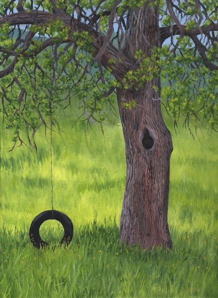
On a recent walk, I took this photo because it reminded me of my painting titled Swinging Oak. You can see it below with a convenient link for purchasing from my website. It’s just business. (I’m tryna earn a living here!)
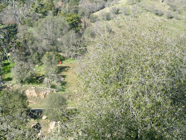
Where’s the other chair?
Why am I not showing you any paintings or drawings? Because I am spending most of my time in the studio, editing another book for another writer on another topic.
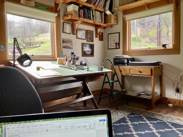
And that’s all I’m going to say about that.
There must be a few things that I learned in January. Thirty-one days of nothing seems a little out of character here. As Winnie-the-Pooh said, “Think think think!” January was occupied with relearning, persevering, and never quitting. (If I was a smoker, I would have really done a number on my lungs in January.)
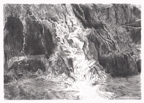
2. After over a year of wrestling through design, decisions, details, logistics, and finances, this is the result. It was a process, and I think the overarching theme is “Nevuh nevuh nevuh give up”, as pronounced by Winston Churchill (This seems to be a post of quoting English sources who repeat words. )
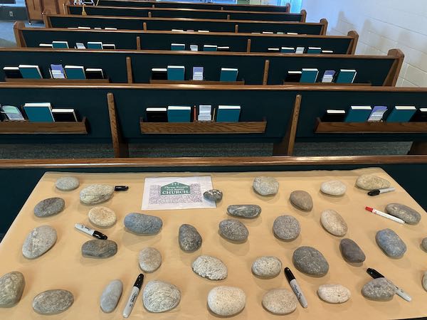
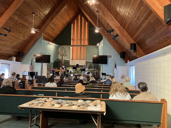
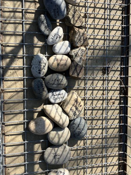
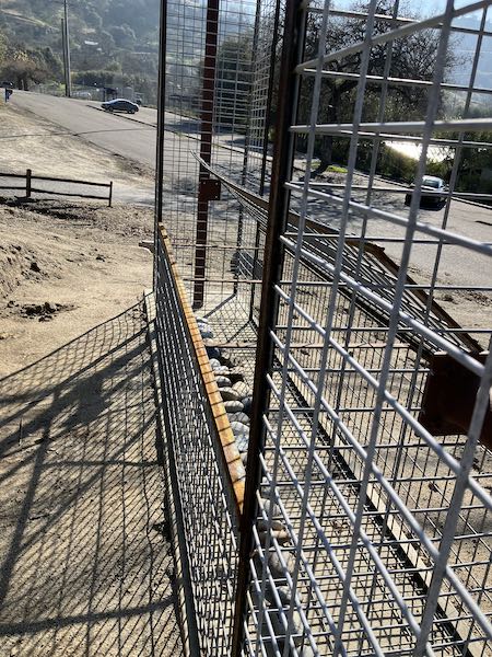
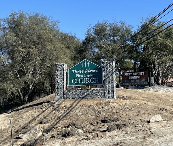
3. While putting in my monthly shift at the Mural Gallery and Gift Shop in Exeter, I discovered a new kind of picture frame for paintings—oil or acrylic, not watercolor, which require mats and glass because they are on paper. If I can find them AND if they aren’t expensive AND if they look good, this could be a way to frame my plein air paintings for the show coming in August. (Did anyone from England famously say “If, if, if”?) I paint on board, not canvas, when painting plein air, so they need to be framed. (Just learned these are “float frames”)
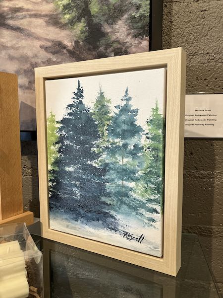
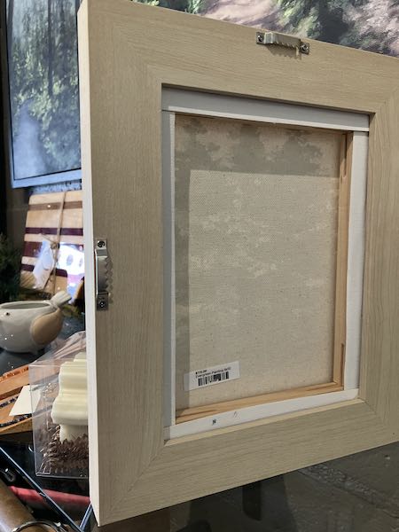
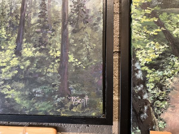
4. There is another topic under the heading of “Nevuh nevuh nevuh give up” which deserves its own post and requires some permissions, so it will have to wait. But here is a clue (just the preliminary cover design):

5. I am now in the process of editing and formatting two new books. Neither one is ready for public disclosure, and as I work, it becomes very apparent to me that I will NEVER be comfortable with anything designed by Microsoft or Adobe. When I think I understand how something works, either it gets redesigned so that I have to spend time relearning it, or so much time has passed that I have to start over because NONE OF IT, NONE NONE NONE, is intuitive like Mac.
February, my first favorite month, will rescue me from this malaise.
Let’s just enjoy some photos today, no chitchat about going to town, no stressing over prices, no struggling with plein air painting.
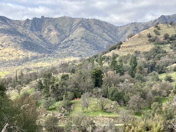
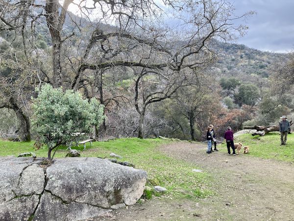
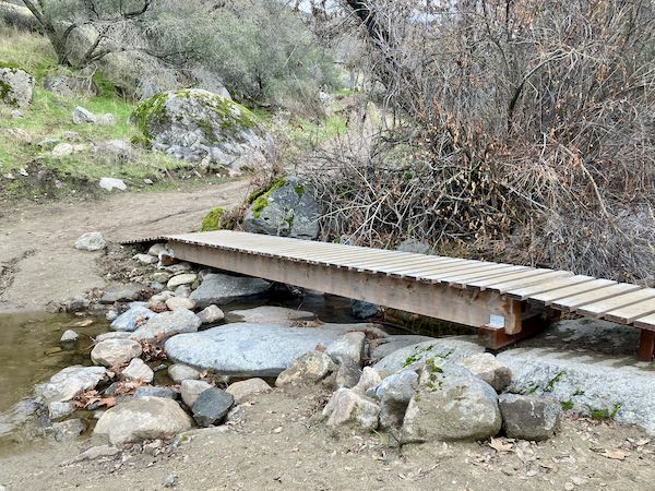
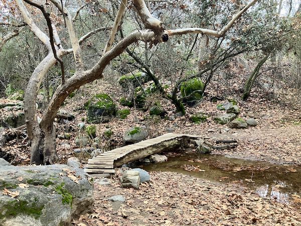
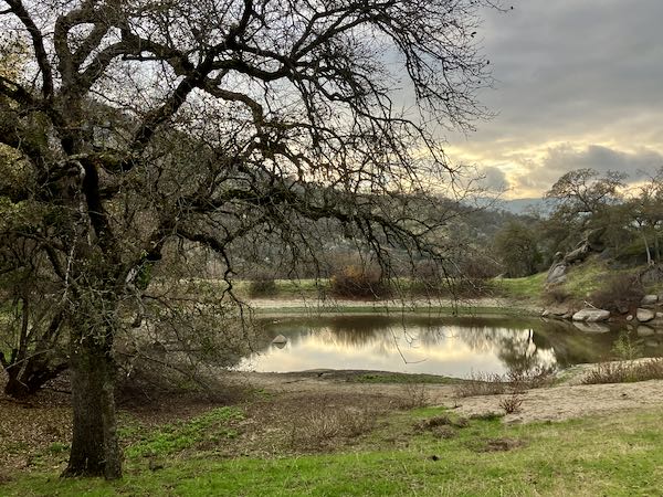
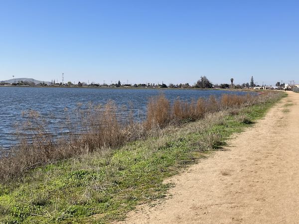
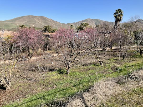
Another walk, another lake, in another town.
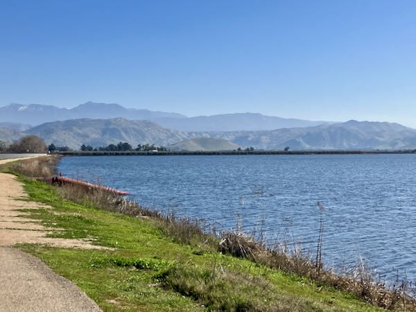
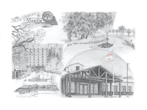
This post is just to vent my thoughts about a day spent in Visalia. It might fall into the categories of “Why is She Bloviating Again?” or perhaps “Too Long, Didn’t Read”.
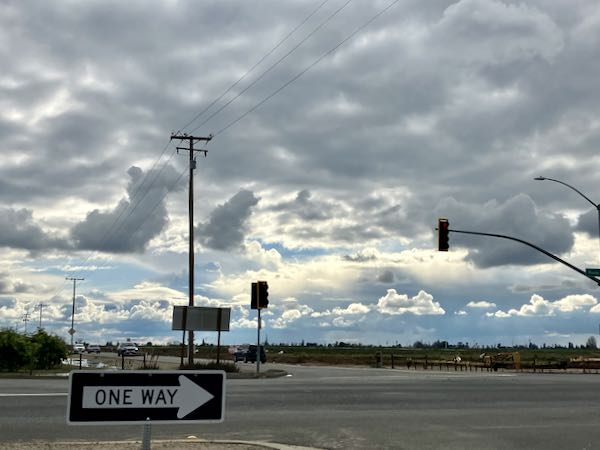
I headed down the hill to Visalia one morning and was tailgated around the lake. What does tailgating accomplish when there is no place to pass and the tailgatee obviously cannot drive any faster than the person in front of her? The tailgater ignored the first 2 passing lanes, and then roared around at the third one. Good riddance. (See you at the light at the four-way, if I’m careless and you are lucky.)
My first stop in town was one of those giant office stores to get some papers shredded. There are 2 on the same side of the same busy boulevard, and I picked the wrong one. “Wrong one”?, you may be asking. This one apparently had only one employee who was running his feet off. It also is the one where the customer has to stuff all the papers in a bin, rather than the employees just taking care of it.
I survived. That sort of situation with waiting and inconveniences is a chance to just look around and observe folks. I saw 2 other women near my age, and all three of us had our hair up in those claw-type clips. There was an obese man in a cart who felt the need to explain to the clerk (a second employee eventually emerged from a break room) that he had been a dedicated baseball player who played on winning teams until age 38. No one seemed put out by his need to explain why he requires a cart to get around; the dude was obviously very lonely.
There was a quick stop to unload a box of unnecessary items at Rescued Treasures, a thrift shop enterprise run by the Salvation Army the Rescue Mission. It was close to the wrong giant office store, so maybe that wasn’t the wrong one after all.
A kind and generous friend had given me a gift card to Sprouts, which is a fancy grocery store with bright lights, organic foods, and shockingly high prices. My hope was to buy raw milk, something I have been curious about for a long time. (My interest began when I met some people associated with an Arizona dairy called Fond Du Lac Farms.) Alas, it wasn’t meant to be because their shipment hadn’t arrived for the week. Another customer was waiting for it and he told me that he pays $17 a gallon. I would have been quite content with just a pint, but that curiosity will have to wait.
The prices almost made me need oxygen, and the lights were so bright that I wondered if sunglasses might be in order. I wandered around the store, reading labels, thinking, doing math, not wanting to waste the gift card on stupid stuff. Finally, I chose some lunch meat and a tray of sliced cheeses to share with friends on an upcoming outing, found some herbal tea that supposedly fights blood sugar levels, and a few mixed nuts that promised no peanuts (because they are just too pedestrian for Sprouts’ customers). The checkout was a self-serve with a friendly worker there to assist. The total for my four items was $29, which was $4 over the gift card. (I thought it was better to be over and pay some cash than to have to return to use up one dollar.)
Next, I headed out to find another new grocery store, about which I have heard great stuff for several years. Aldi’s is on the far south end of town, bringing to mind a threat in my childhood that “one day Visalia and Tulare will be merged into a single town.” Hasn’t happened yet but the growth is steady in that direction.
Aldi’s is known for charging 25¢ for its shopping carts, which gets returned to you when you put the cart back in the corral. (It locks into the cart behind it to spit your quarter back out.) I wandered around the store, comparing prices with those on a Winco receipt, trying to be smart about spending. I bumbled and fumbled through the self-checkout with its pushy computer voice telling me to either scan the next item or finish and pay. I kept telling “her” (it didn’t announce its preferred pronouns but the voice was female) to just hold on. Oddly enough, the total was also $29, but this time I got eleven items.
My grocery list was barely touched, so next I headed to Winco, my normal grocery store. I try to only shop every 6-7 weeks, with Trail Guy supplementing for dairy and produce at our local overpriced but convenient market (Let’s see. . . 1-1/2 hour driving and $15-20 for gas to save money? Nope.) It was a thrill to quickly find just what I needed at prices I was accustomed to paying. It had only been about 5 weeks, so the cart was manageable. Sometimes I almost need 2 carts when I wait too long between trips.
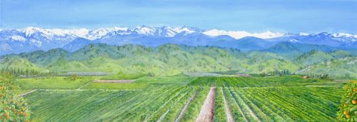
It was a massive relief to finally be on the freeway heading east into the mountains. The foothills are green, the sky was blue with puffy white clouds, and although there were a few tailgaters, I was heading home and didn’t care. Does it bother anyone else when people try to force you to pull behind a big rig so they can drive 80, not caring that you are quite happy to go 70, which is 5 miles over the speed limit, not caring that you don’t want to drop to 55 or 60 behind a big rig? What is wrong with people?
Here is my theory about what is wrong: people live in crowded conditions, with too many stores, too many choices, too high of prices, too much to do, too little quiet and privacy. It makes them anxious and cranky and impatient. Or, to quote Anne Lamott from her Twelve Truths of Life: “Everyone is screwed up, broken, clingy and scared.”
P.S. Dennis Prager wrote about this topic several years ago: Imagine No Big Cities. (Thank you, DV!)
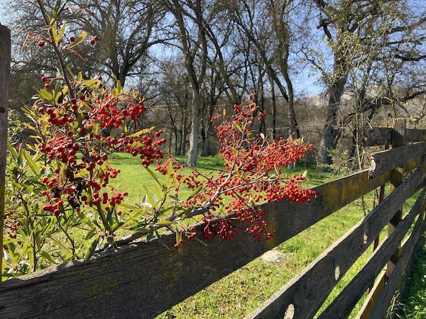
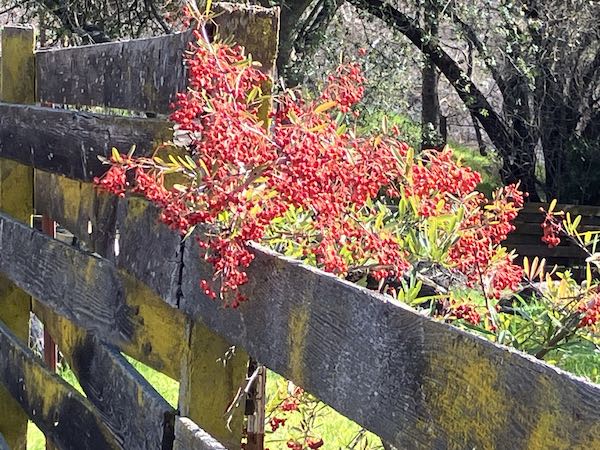
On a sunny January day, we went for a stroll, and I took a few photos with my inferior phone camera. I really don’t need any more photos, but one never knows if the light will be the best it has ever been. If I was more motivated, I would have taken some paints, a tripod, a palette, and a pochade box. Then the walk would have been a business trip. Nah, too much gear—I would have needed to drive and missed out on the exercise.
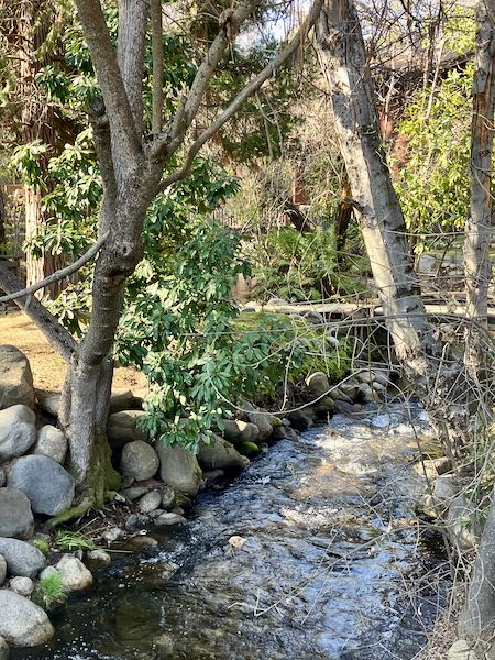
The walk was a time for contemplating matters of consequence along with enjoying the ability to see beautiful sights while soaking some rays*. In retrospect, it was an important time of peace because when we got home, we received two unwelcome pieces of news.
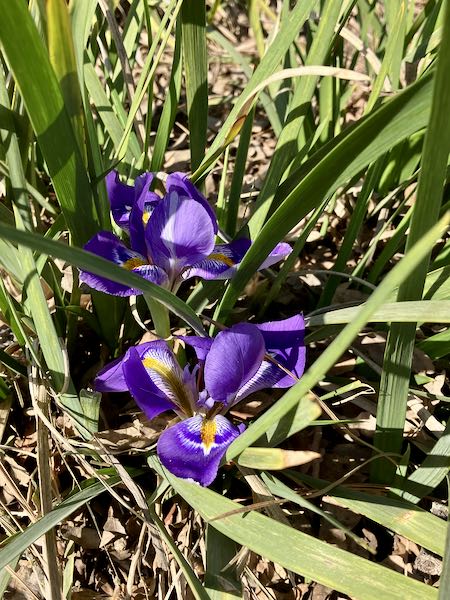
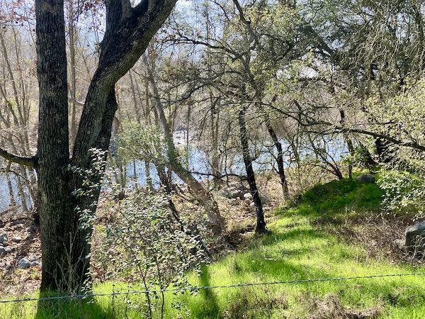
Two people in our lives died: one was unexpected, an important person in our lives; the other was expected, an important person to people I care very much about. The ability to enjoy being mobile and vertical, see familiar and beautiful sights, and absorb some sunshine . . . so many people, particularly of our parents’ generation, are dropping. . . kind of hard to form complete sentences around this.
*Has anyone else noticed that people no longer just drink water? Now, they “hydrate”. Is it possible to just enjoy sunshine anymore or do we all have to “get our vitamin D”? Is it all those ridiculous commercials on teevee which try to turn us into pharmacists who “ask our doctors” about various medicines, or into nutritionists prescribing forty-eleven supplements that will allow us to all live as 20-year-olds indefinitely? Tiresome stuff.
Today’s post is long, lots of words for a subject I have pondered for over three decades. It might fall into the category of Too Long, Didn’t Read. If talk about art business bores you, please come back tomorrow. If you make it through to the end, you truly are My People. If not, I hope you will rejoin My People tomorrow!

In an ongoing conversation with an artist friend who is working hard to build up her art business, several things came up. I told her that much of what I have tried through the years either didn’t work, or it is now irrelevant and out of date. After the 30+ years of building an art business, my main takeaway is a very valuable and hard to earn item: local name recognition. I know My People and My People know me.
I spent years trying many avenues of marketing; here is a very long list of things I now simply say “No, thank you” to.

There are many many exceptions to these rules. They are not etched in stone, and I break them occasionally without expecting any results except satisfaction that maybe I helped someone.
The day after I sent this list to my friend, I got a request from a local nonprofit gallery seeking more art to fill up a group show opening in two days. I called my friend who quickly chose 2 of her paintings along with one of mine which happened to be handy. She delivered, attended the reception, and will go pick up the work when the show is finished. (I have no illusions about selling my one piece.)
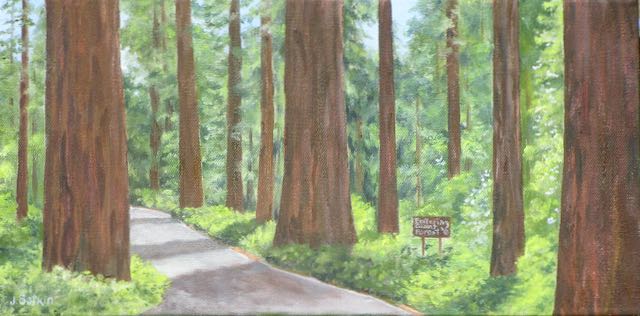
My audience is local people, real people I know or have met or who know people I know, people who appreciate this place and my style of painting and drawing. They are people who say things like, “I don’t know anything about art but I know what I like.” They want to work with and buy from someone who makes art they understand, and often custom subjects that mean something to them. They want to work with someone who will listen to them and help them figure out what they want, not confuse them with ArtSpeak or make them feel stupid. My People!
So, my efforts go into making my work the best it can be, pouring myself into my drawing lessons (I LOVE MY STUDENTS!), representing Tulare County to help My People hold their heads up, living here in California’s fly-over country.