Fridays are for Mineral King on my blog, but sometimes every day is for Mineral King. There isn’t a lot happening with my art business right now that you will find interesting (other than the one-day drawing workshop tomorrow at Arts Visalia; call 559-739-0905 to see if any spaces remain).
So, let’s continue our photo excursion in and around Mineral King, while the trails are inaccessible due to swollen streams and deep snow.
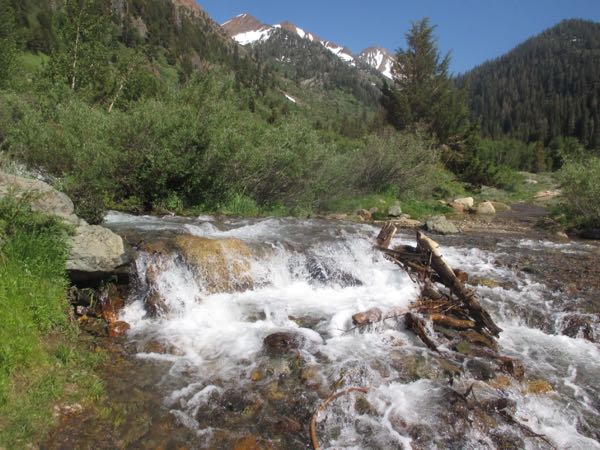
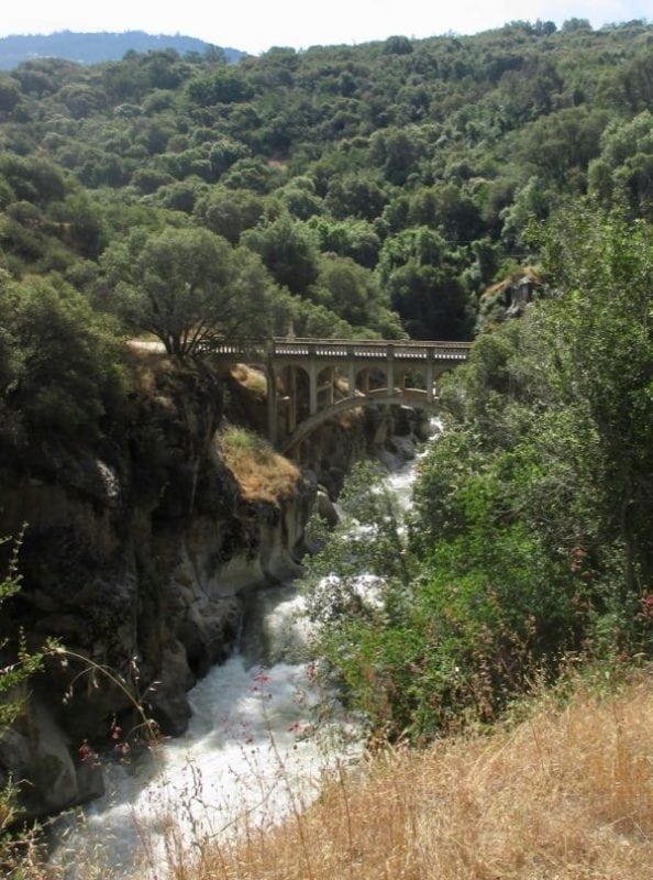
One of the things we always do is check the water level at the bridge.
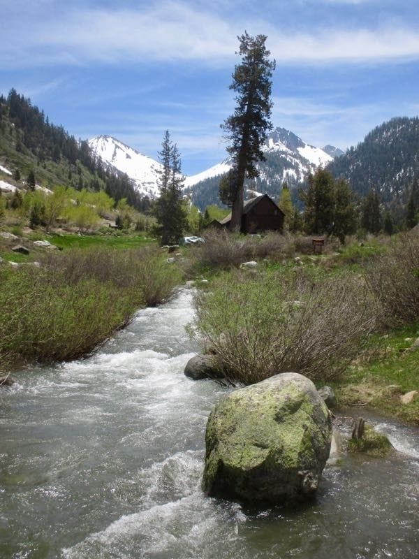
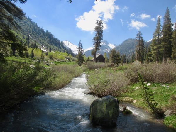
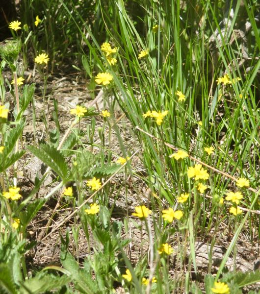
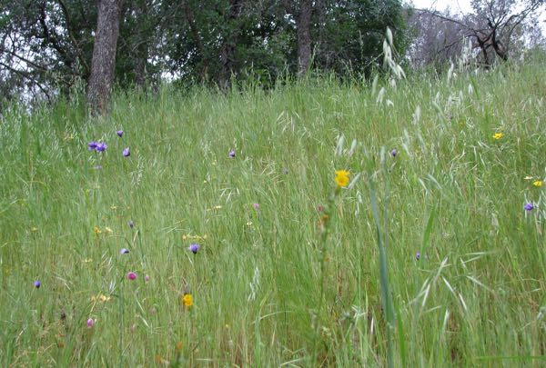
I try to stop taking the same photos over and over, but each time I am sure it is the best it has ever looked.
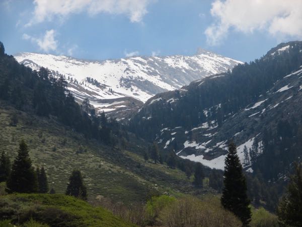
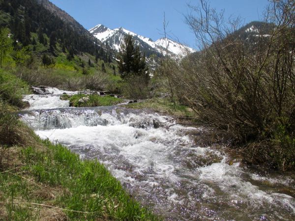
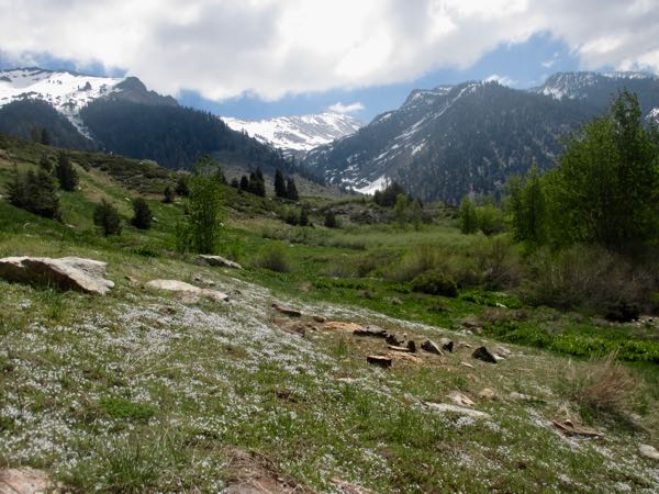
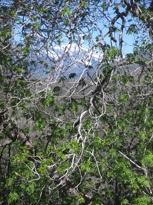
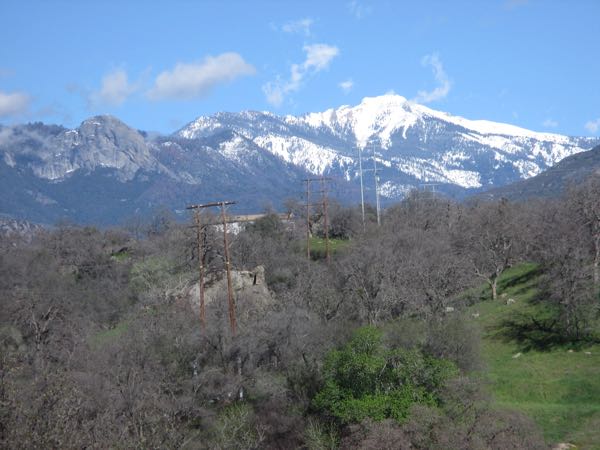
We look at Sawtooth and think about the amount of snow and how quickly it is melting. Neither one of us has any desire to climb it. We were speculating that Monarch Lake may be accessible via the old trail sooner than other lakes, because the old trail is south-facing.
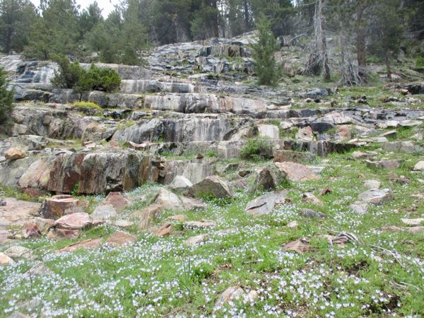
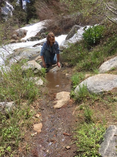
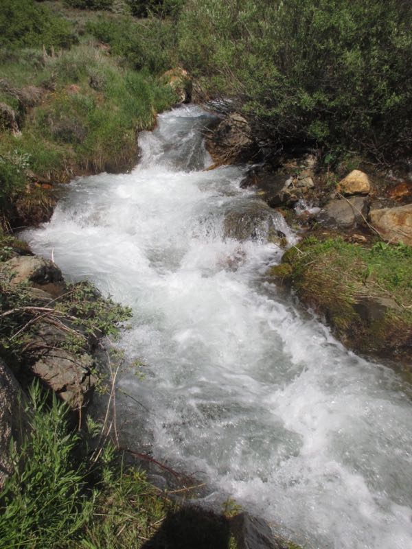
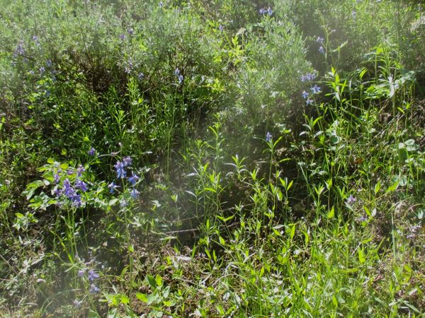
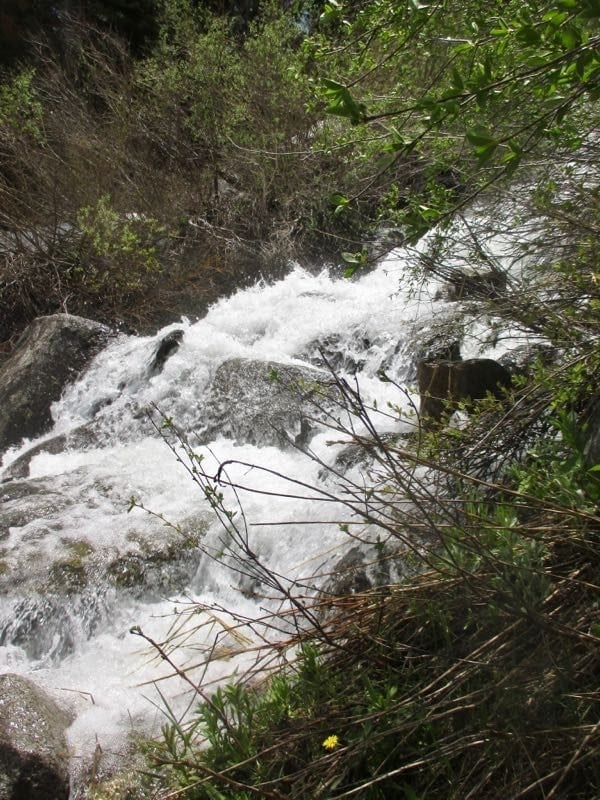
We pay attention to water flowing in places that it normally isn’t. Or perhaps it is, but we are usually out on trails instead of poking around non-trail areas.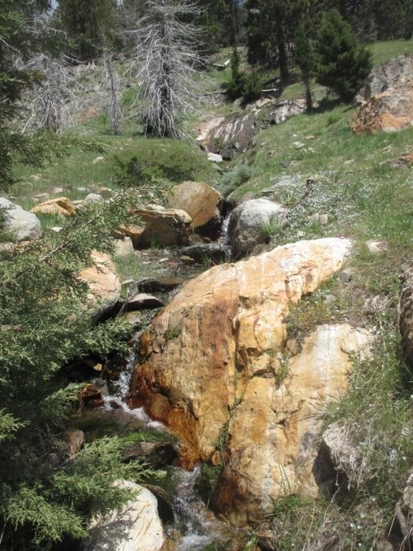
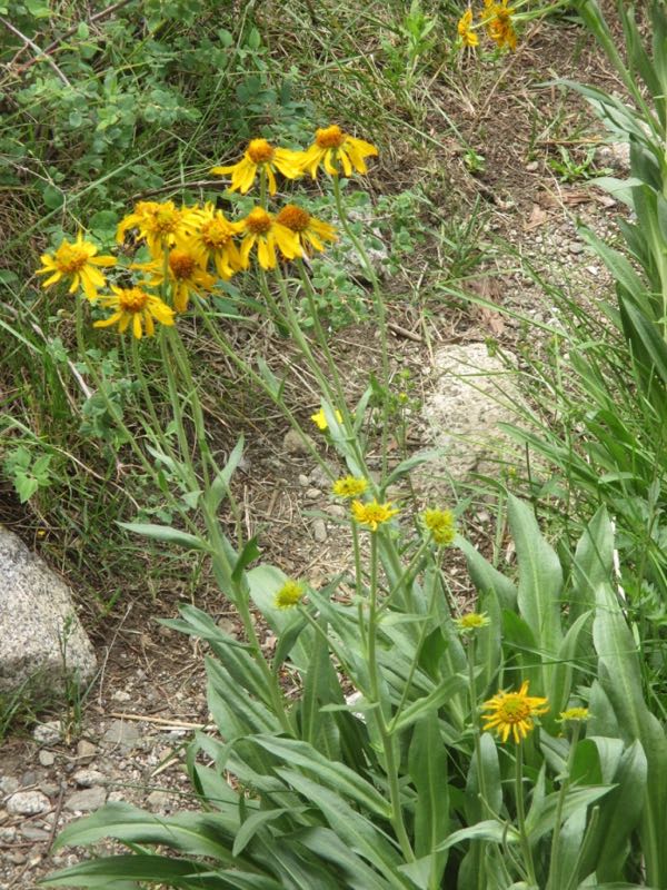
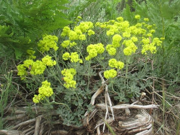
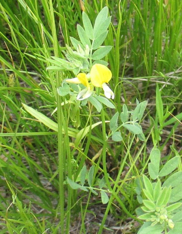
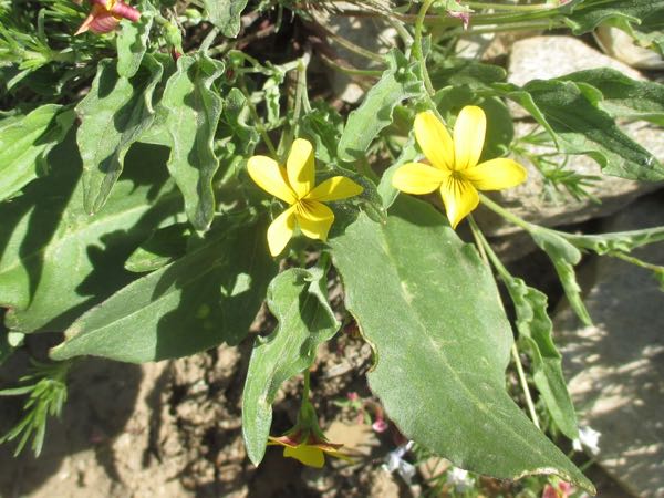
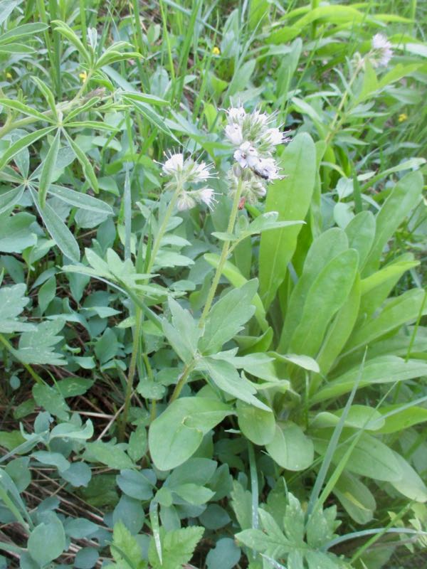
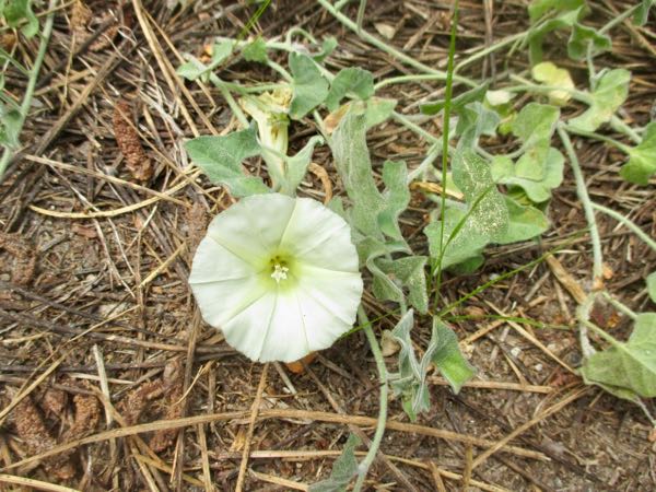
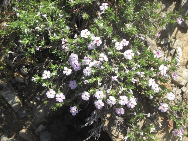
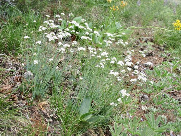
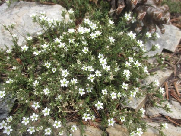
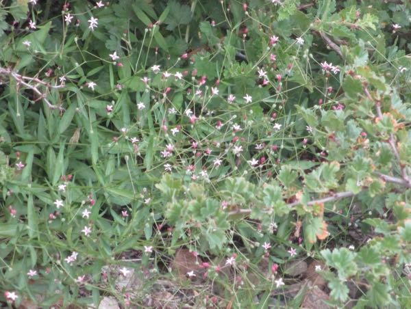
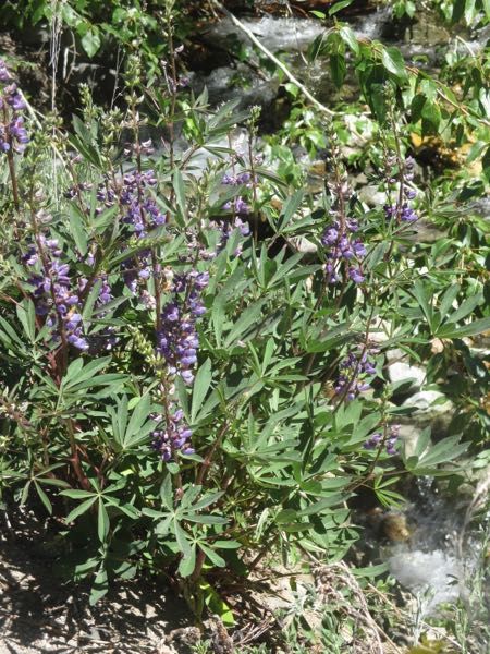
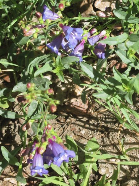
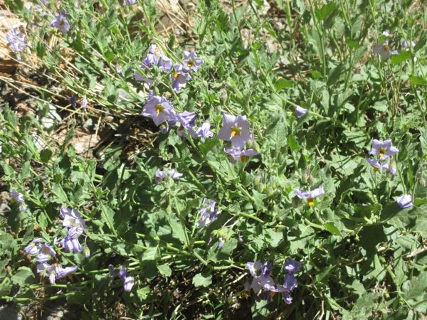
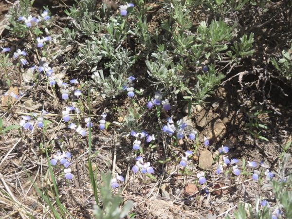
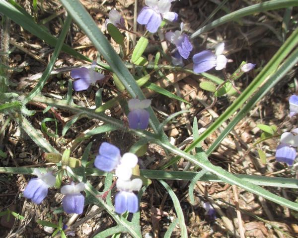
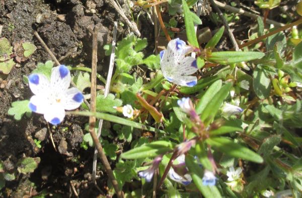
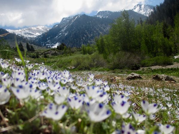
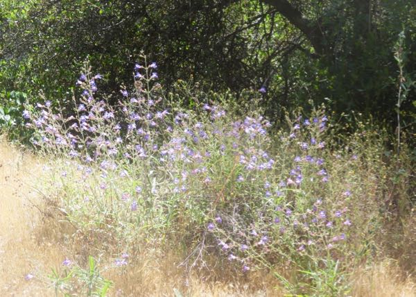
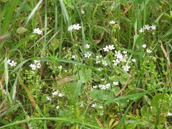
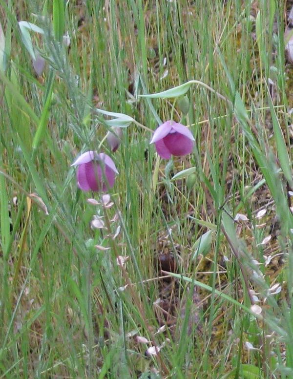
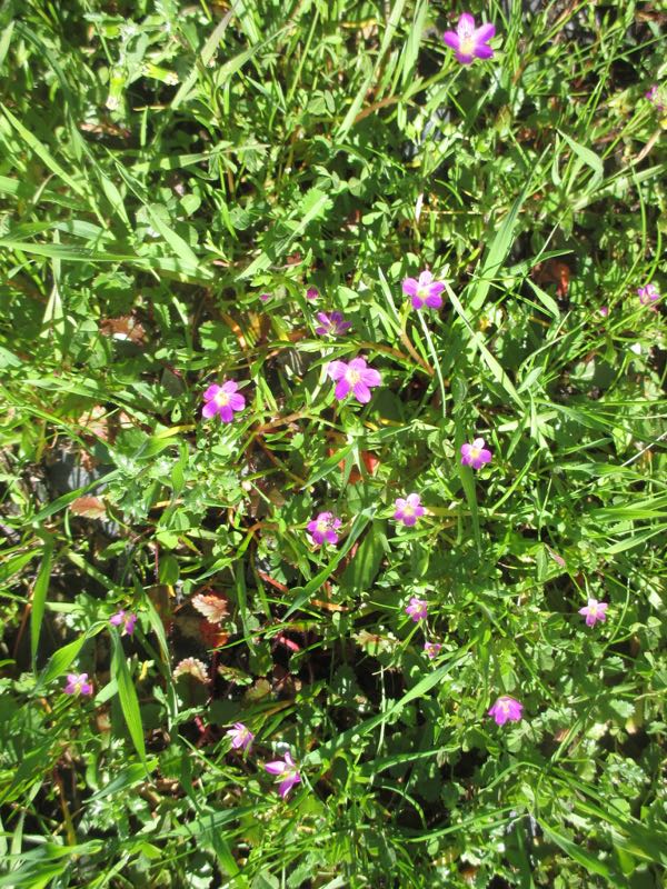
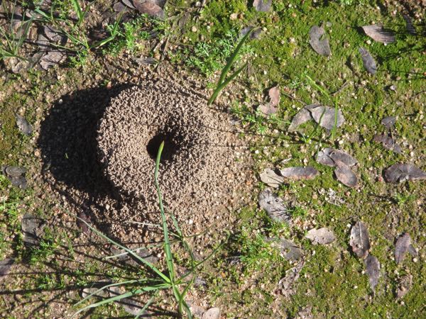
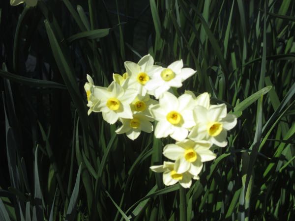
We discovered some itty-bitty wildflowers that we’ve never seen before. Too small to see; too small to name. Perhaps Captain Obvious would have named these Blue Dots or Blue Spots.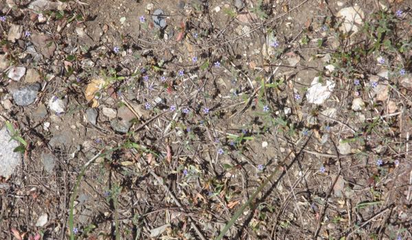
We have gone to Crystal Creek several times. It was roaring down the trail over Memorial Weekend, so we did some trail rescue. The water level rose again, so we had to do a bit more waterology and redirect the water off the trail again. (Did the same at Chihuahua also, just above the old pack station, which runs colder than Crystal. This is not scientific, just a report from my bare feet.)
I didn’t have to get in the water to fix the flow from Spring Creek down the trail, so I’m not sure of the relative temperature on that one. See? 57 going on 12!
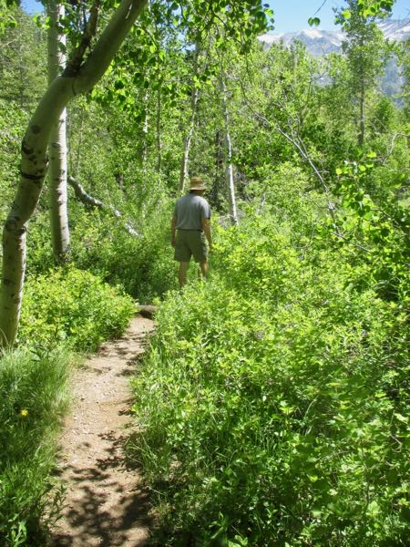
Sometimes trails have obstacles that we can navigate over or around.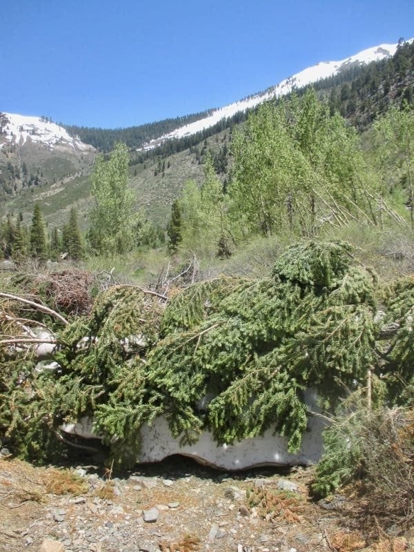
When life gives you lemons, make lemonade? Or, don’t be sorry for what you have lost; instead, be grateful you had it. Or, be flexible, because it is better to bend than to break. Go with the flow. Bloom where you are planted. Et cetera. . .

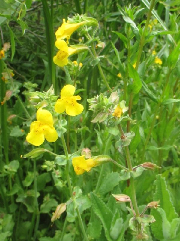
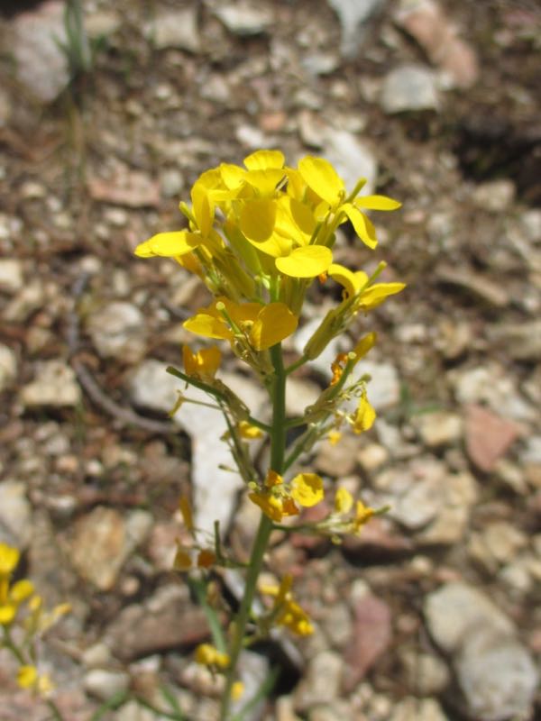
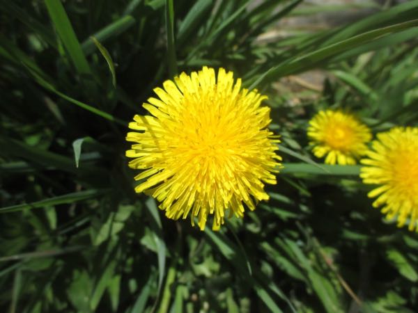
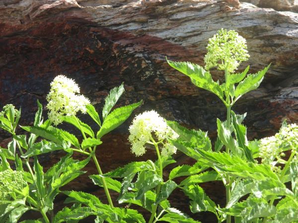
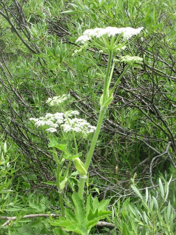
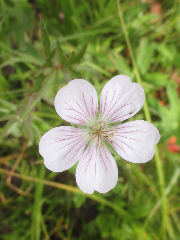
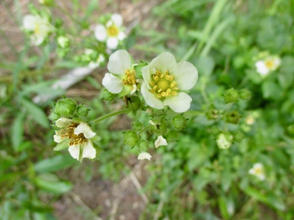
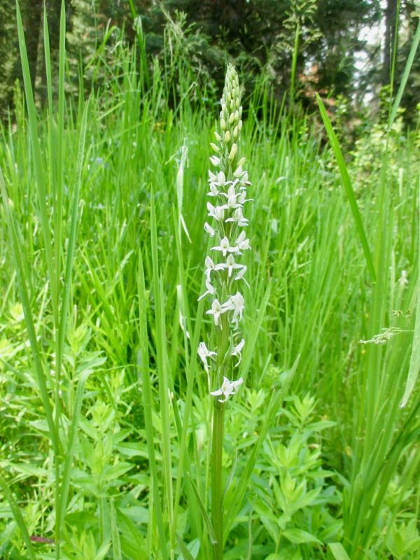
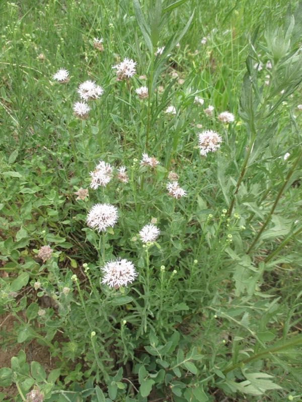
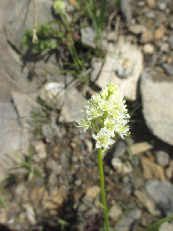
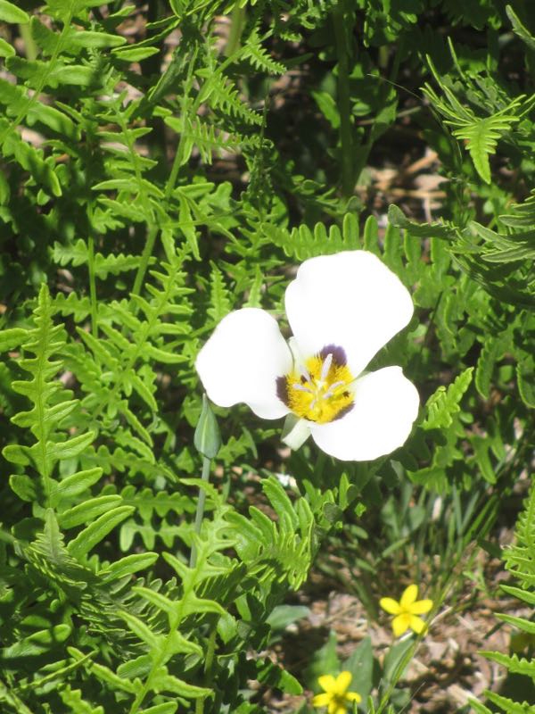
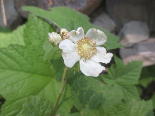
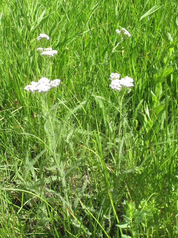
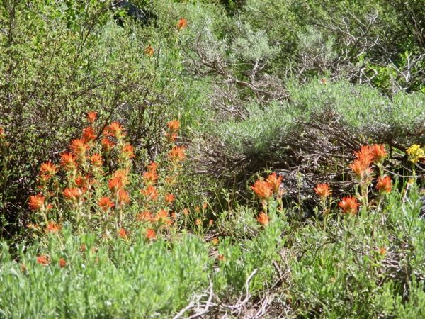
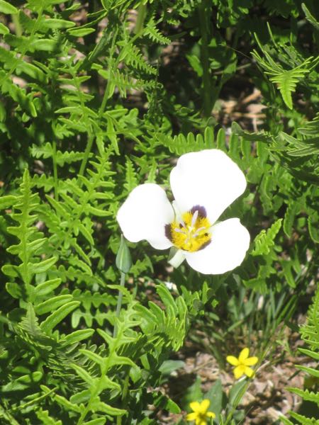
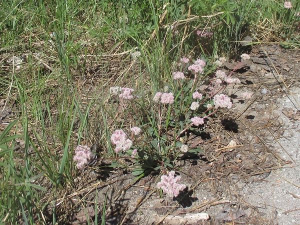
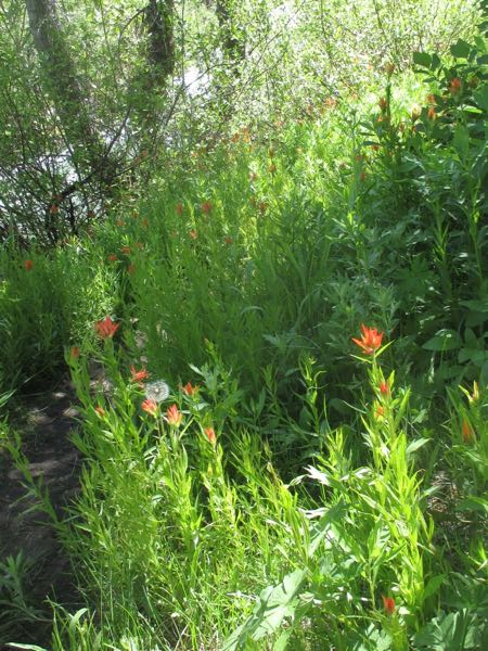
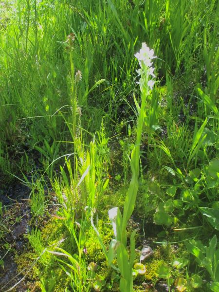
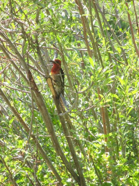
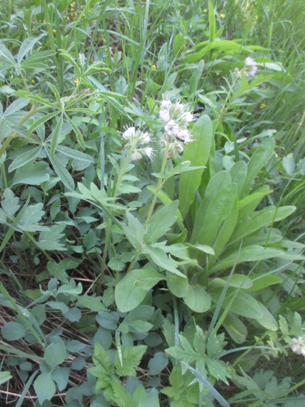
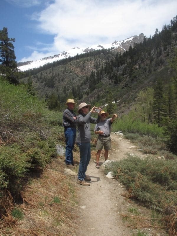
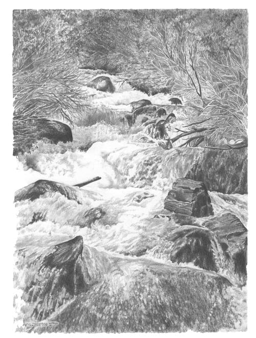
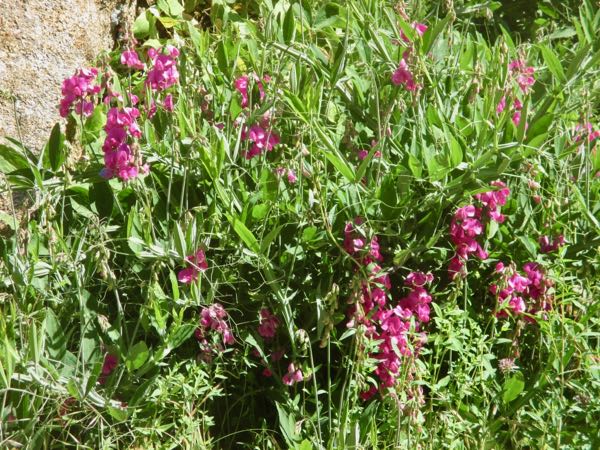
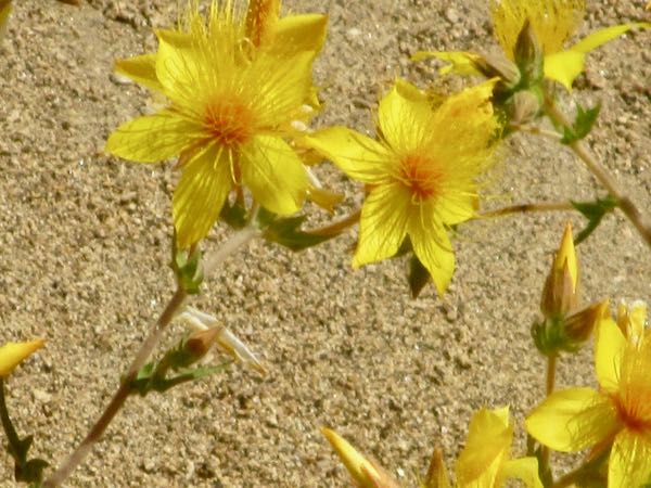
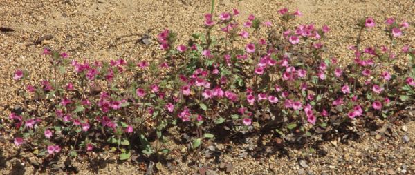
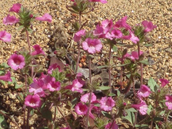
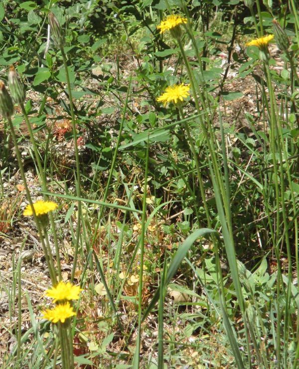
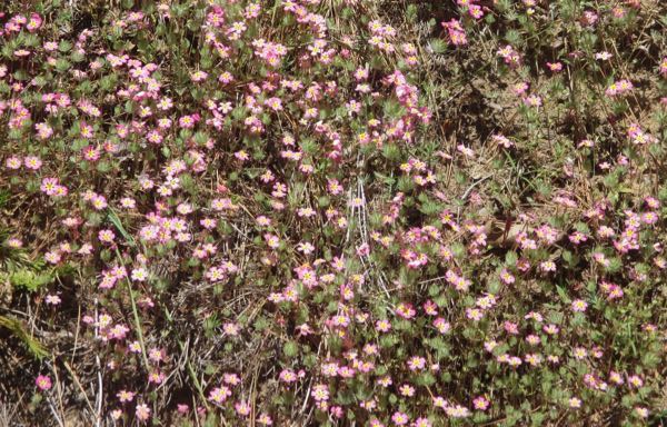
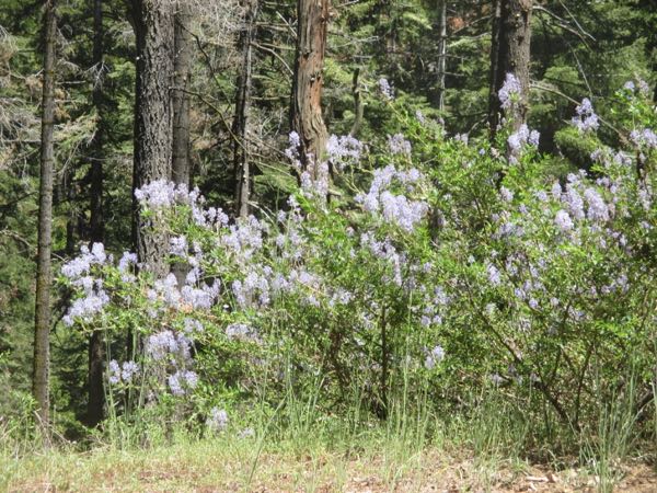
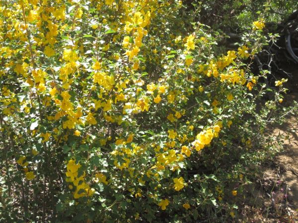
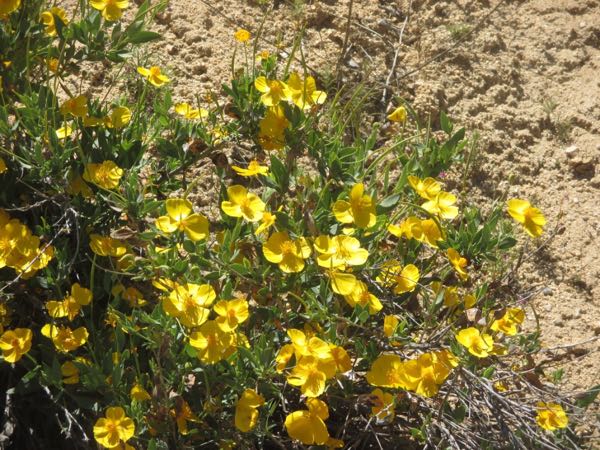
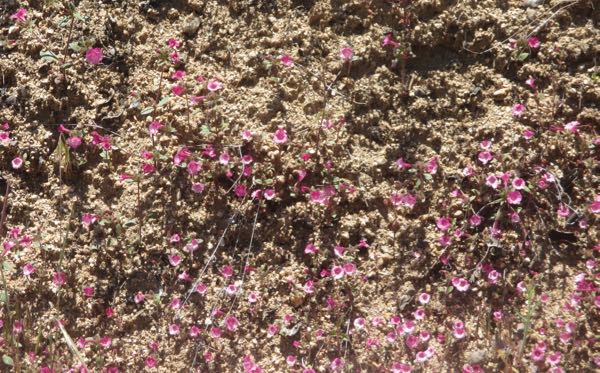
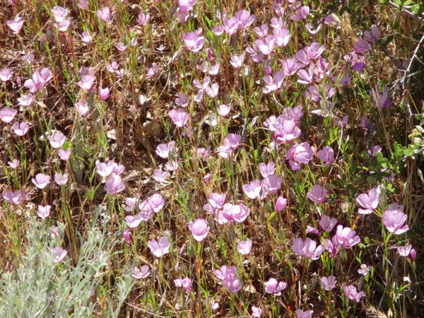
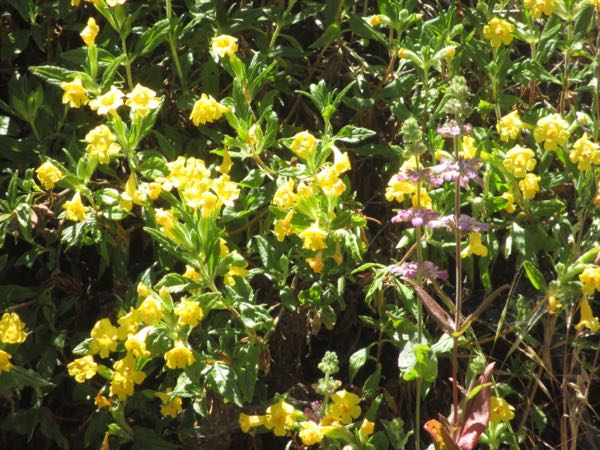
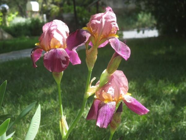
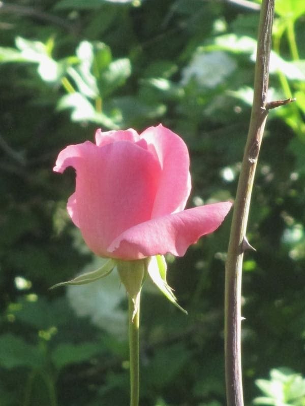
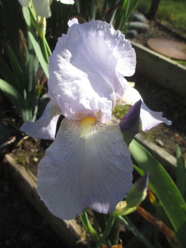
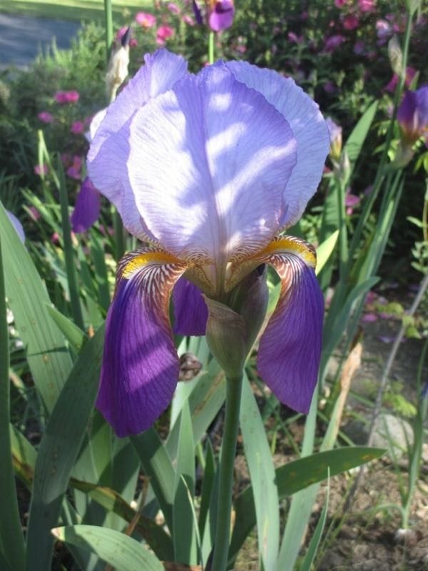
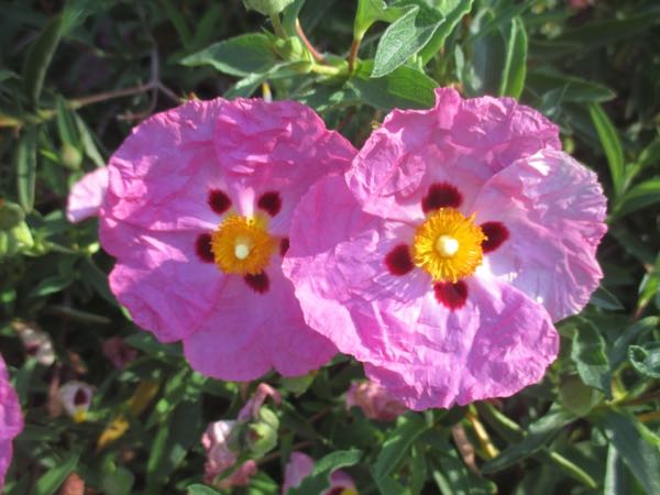
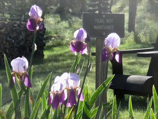
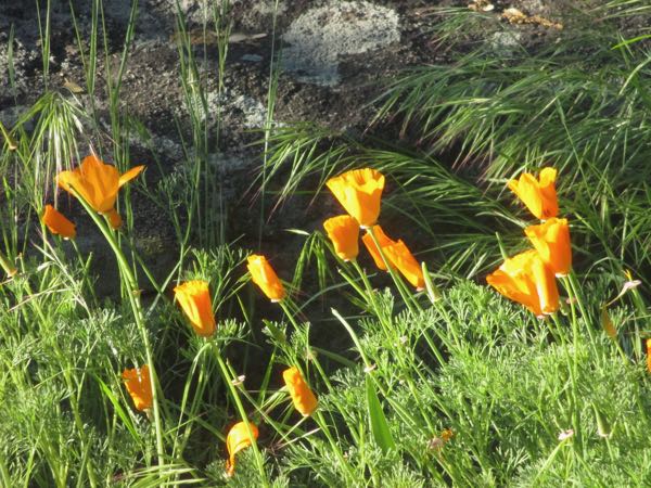
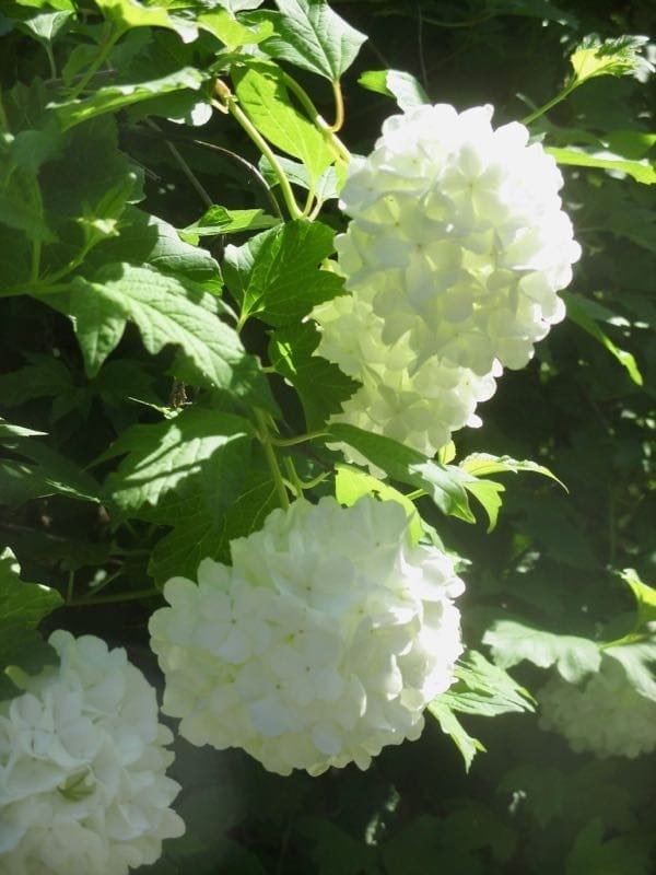
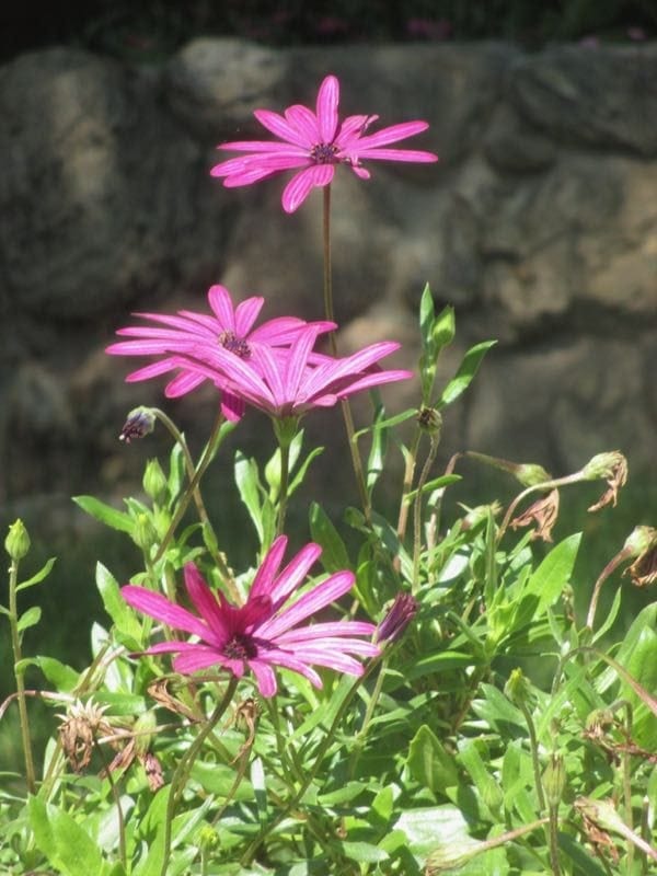
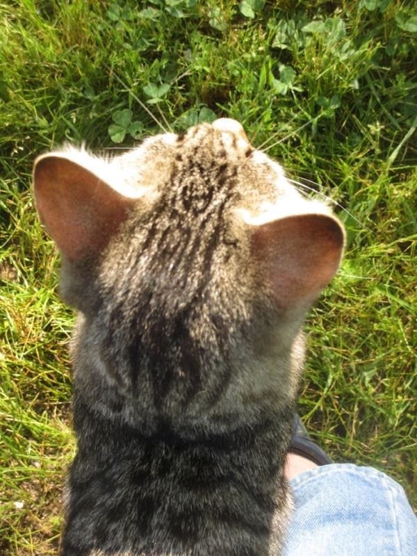
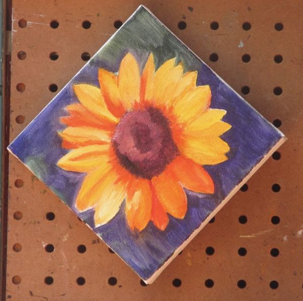
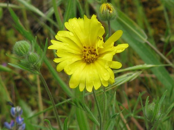
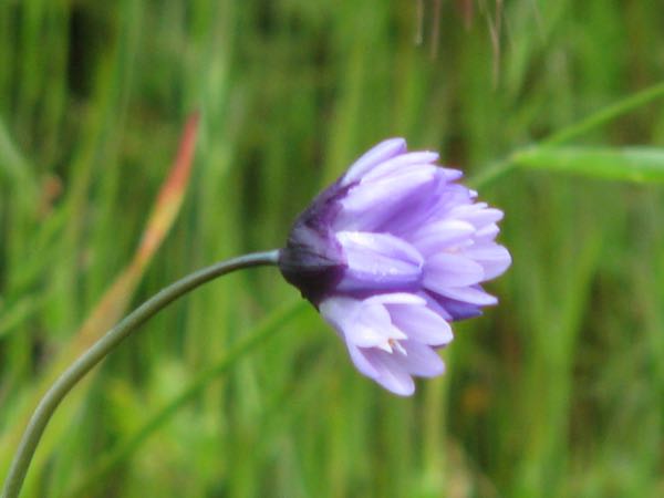
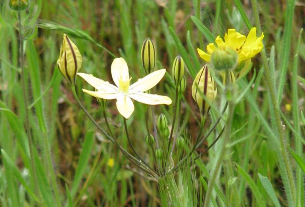
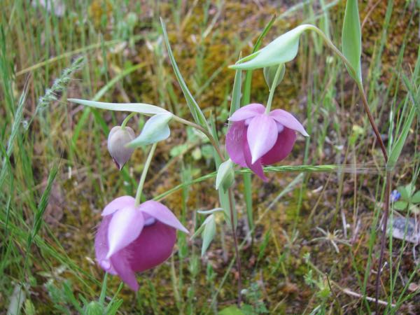
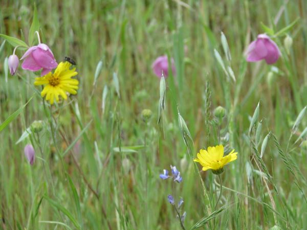
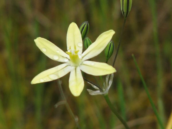
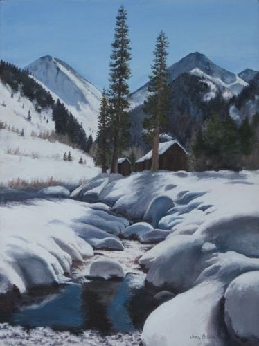
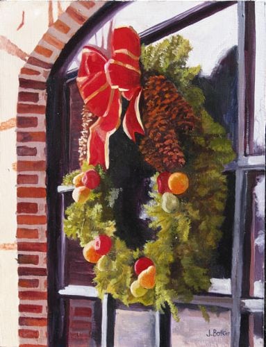
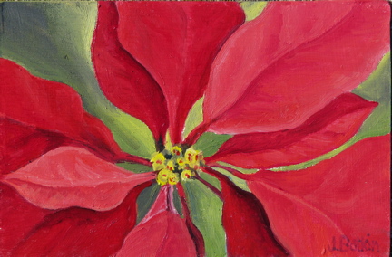
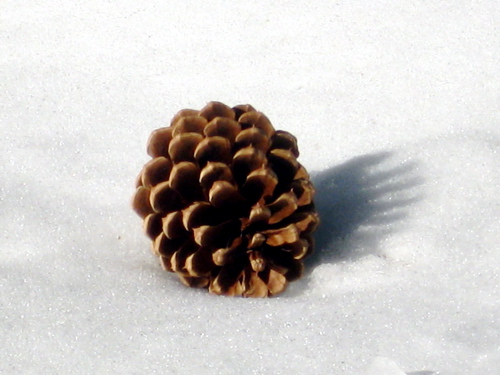
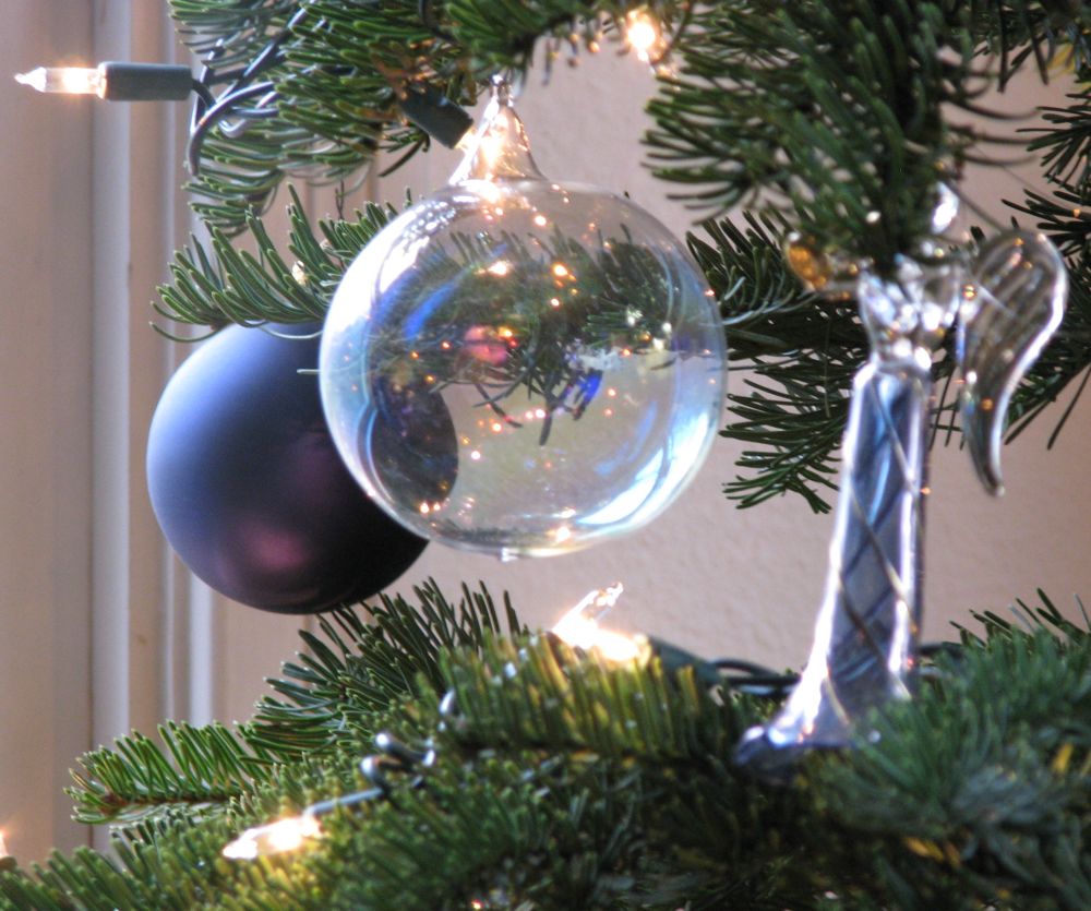
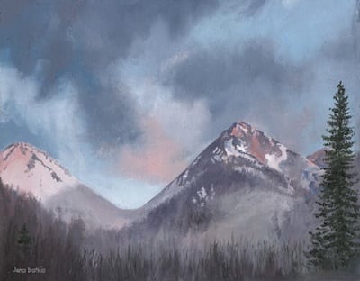
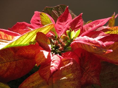
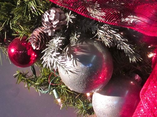
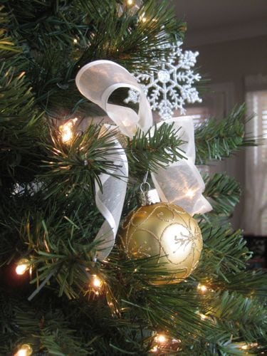
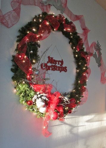
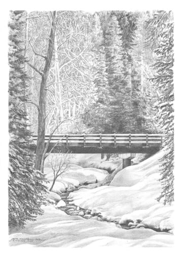 For you, kind blog readers, a variety of photographs, oil paintings and one pencil drawing (this year’s Christmas card to my drawing students) just to enjoy.