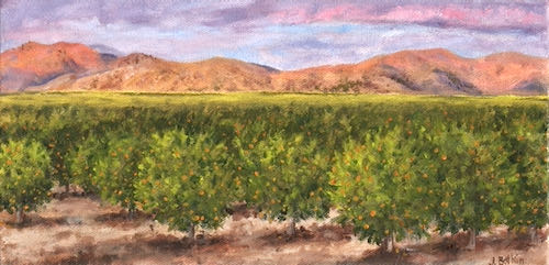
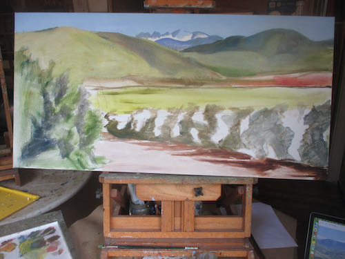
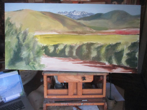
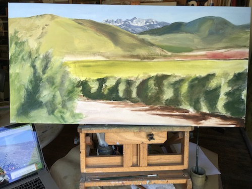
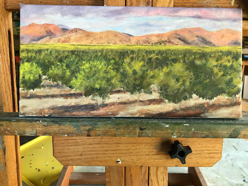
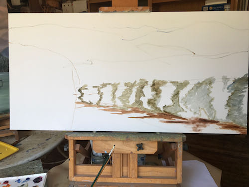
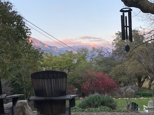
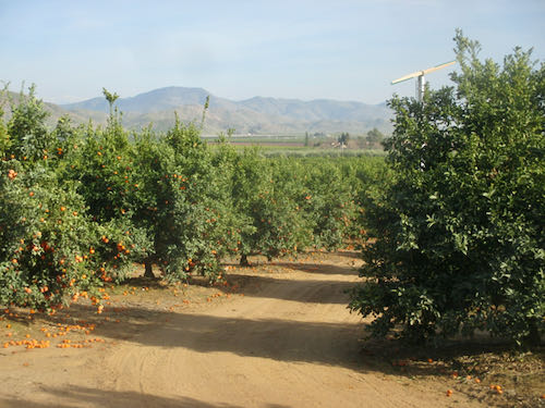
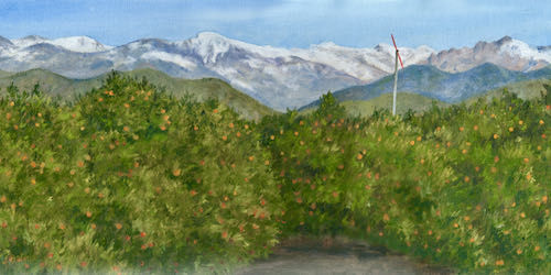
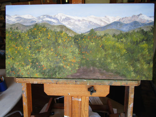
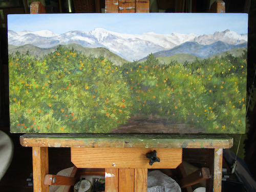
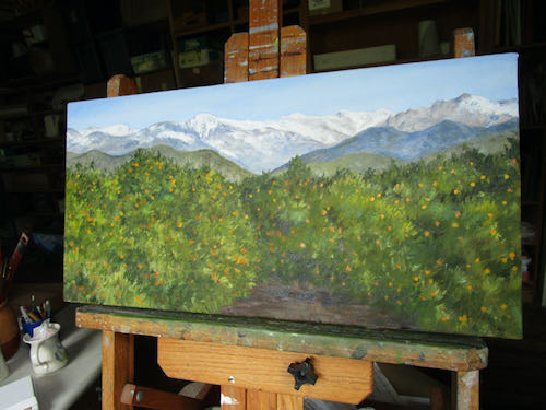
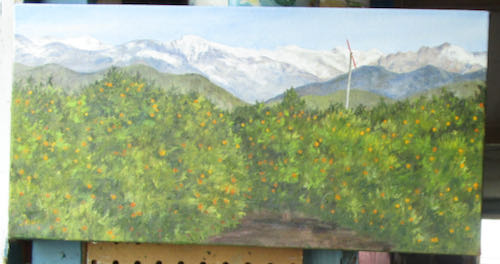
My current favorite subject for painting is classic Tulare County—citrus and mountains, two things I consider to be the best parts of living here.
Today I am asking for a little help. My most current painting is nameless, and I am out of ideas.
Would you like to name this painting for me?
Thanks! (You know it looks better in person, don’t you?)
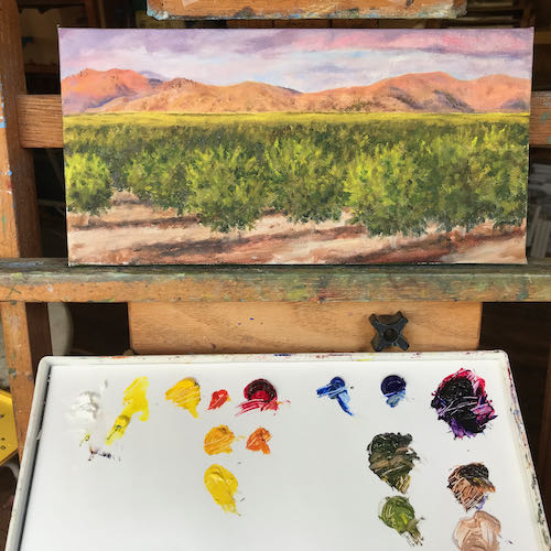
Here are some ideas that were submitted in response to my emailed newsletter:
Here and There
The Elephant and the Orange
Beyond the Trees
Foothill Bounty
Sierra Oranges
Orange View
Oh Beautiful!
Before 50/50 bars
California’s Peaks and Navels
Spruce Road, East
On a Clear Day
Citrus and the Sierra
Classic Tulare County
The Best of California
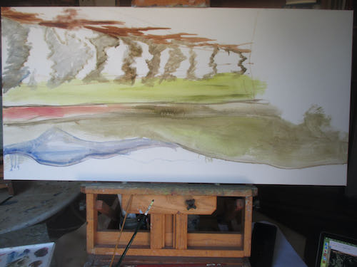
Last minute update: the painting was spoken for, the buyer chose the name, and then she measured her wall. Oops. It won’t fit. It is my fault for not publishing the size, 10×20″. It is now available, $375 (this includes sales tax if you live in California or shipping if you don’t), here on my website, or in all the usual ways such as seeing me in person, calling, emailing, etc.
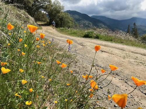
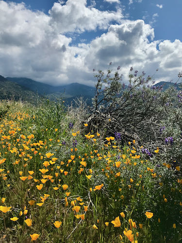
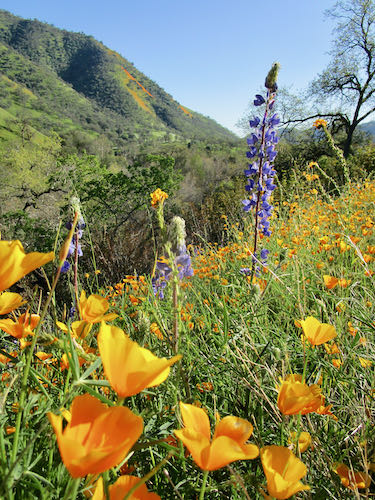
Poppies and oranges and orange groves and poppy fields: that’s what I paint in the winter and spring. (Unless I am painting Sawtooth).
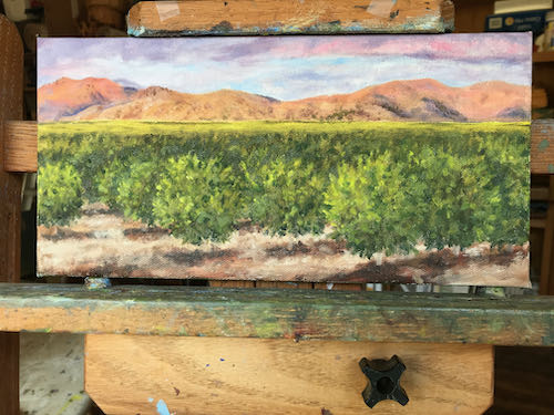
Remember this? It was on the easel until the poppies started selling like hotcakes.
I finished 6 new small oil paintings of poppies, and was so pleased to have paint in the right colors left on the palette to finish this painting.
It is signed, but you can’t really tell in the last photo. After it dries, I will photograph it in good light for you (and my website and portfolio and records, etc.)
This type of painting really says Tulare County to me. Now it needs a title.
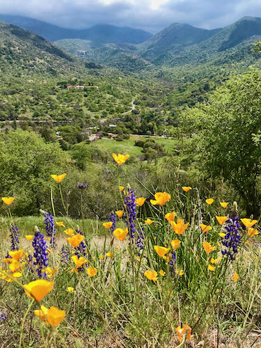
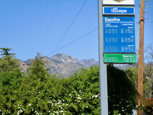
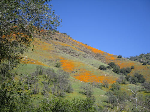
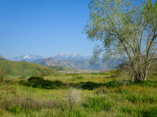
The poppies and other wildflowers were at at their peak on March 11. Three friends and I took the afternoon off to go fill our eyes.
First, we had to empty our wallets to fill the gas tank. Welcome to Three Rivers.
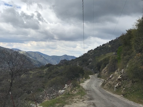
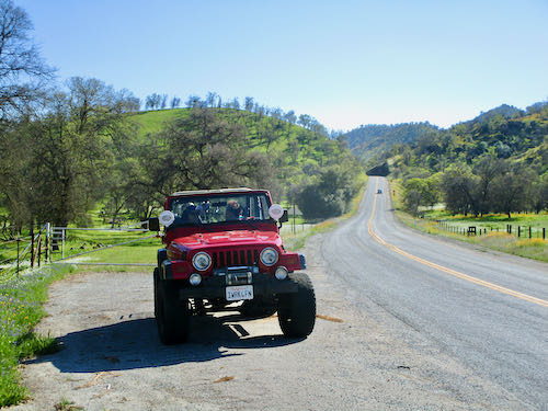
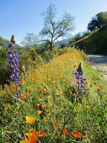
Then we headed down around the lake, and up Dry Creek Road, all within eastern Tulare County.
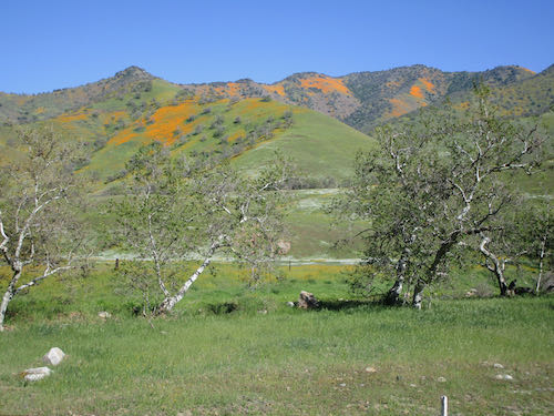
This last photo shows Terminus Dam in the distance, which creates Kaweah Lake. The flowers weren’t fabulous right there at the Dry Creek Preserve, but it was clear and green, which is pretty fabulous on its own.
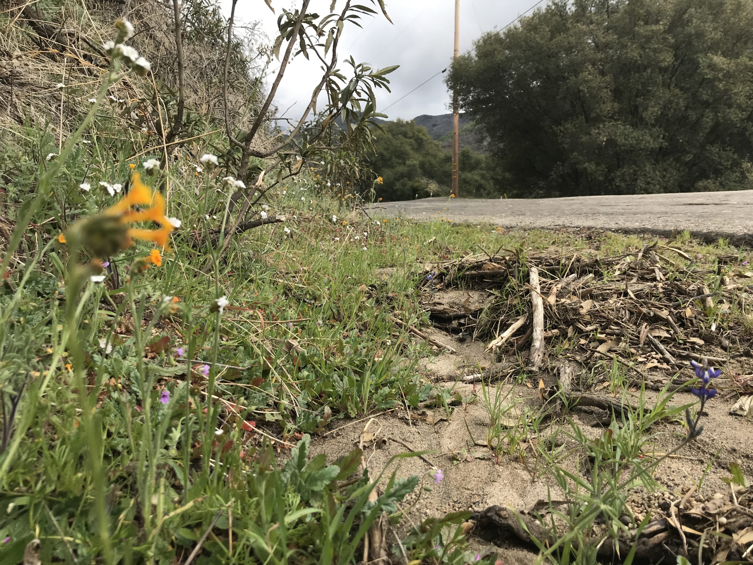
We never did get out amidst the flowers but stayed on the shoulder of the road, and actually did no trespassing whatsoever.
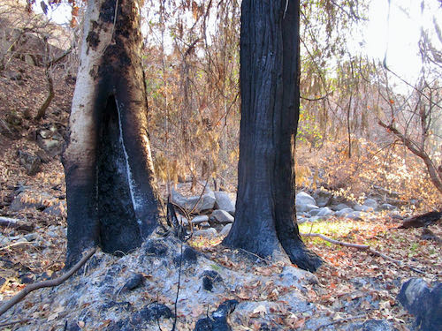
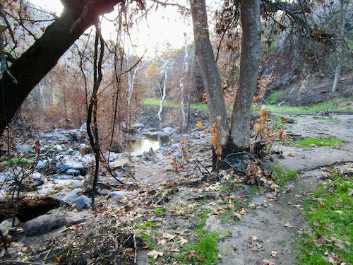
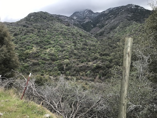
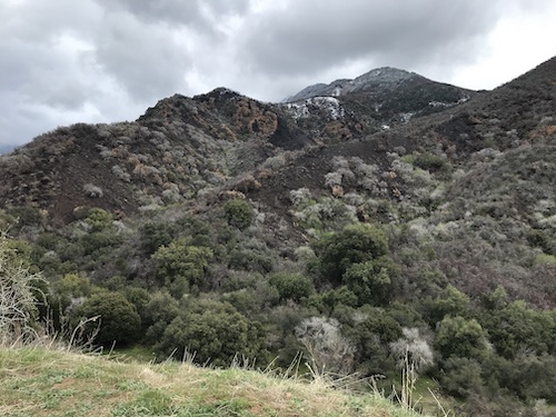
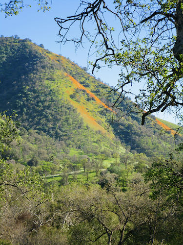
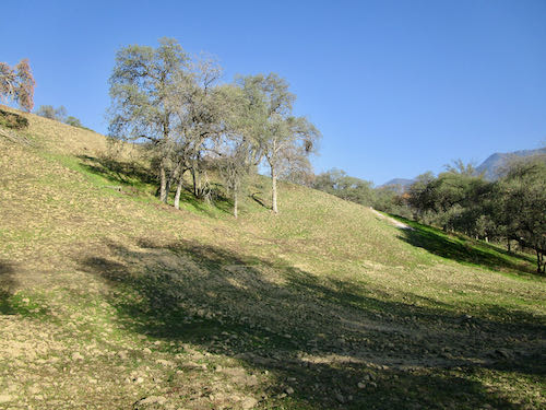
Trail Guy, The Farmer, Hiking Buddy and I went on a bit of an adventure. We had all been here are various times in our lives, but never after a fire. The upper end of North Fork Drive had borate (pink fire retardant) sprayed on both sides of the road, the views were much wider than before with so much brush burned out, and it was much more apparent than before how very steep the drop-off is to the river.
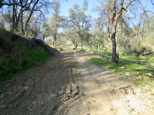
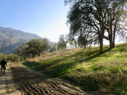
After a tail-gate lunch, we headed across the creek and up a dirt road to see how things looked.
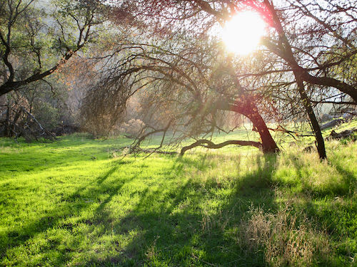
This road was widened by bulldozers to create a firebreak. The area definitely burned, but the October rains and the north-facing slopes together have allowed green to begin emerging.
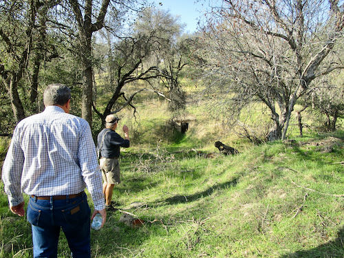
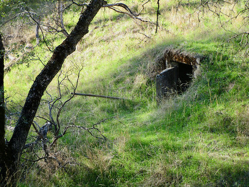
Hey -what is that?
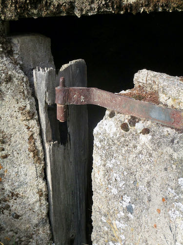
Just a couple of little underground rooms, one with a solid concrete door.
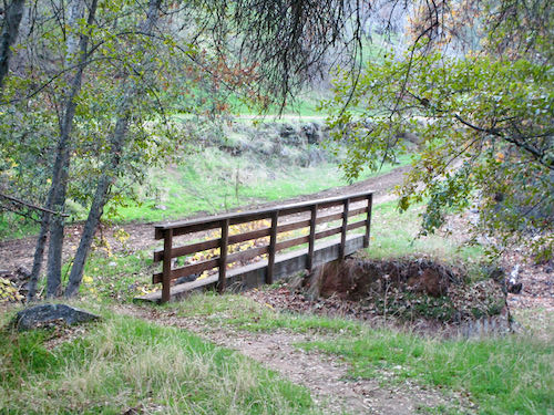
Look – we crossed a bridge to peek into the little rooms – I didn’t notice at the time.
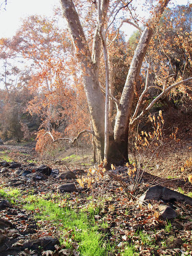
This road is just going up and up and up and up. . . nothing looks different. Let’s go back and take the fork to the right. But what is this white stuff? Ash. A tree on the ground burned and we are looking at the branching pattern left behind.
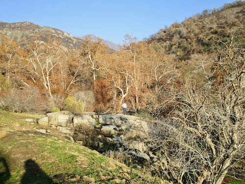
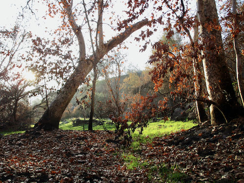
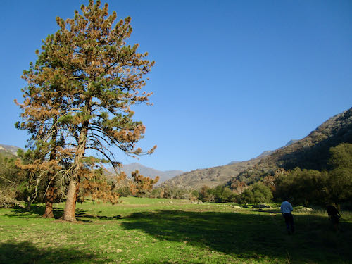
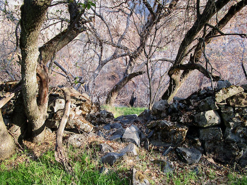
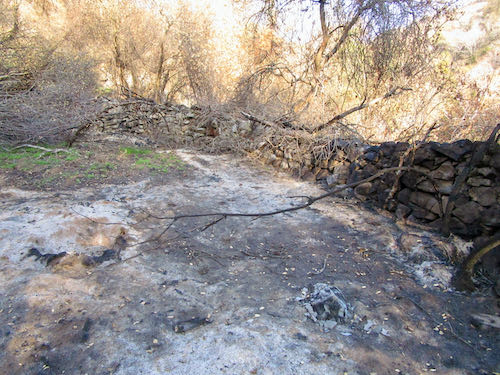
This was probably covered in a variety of shrubs. I am loving the green here. We headed over to a big flat area, known as Grunigen’s Flat, a former homestead or cattle ranch or commune or something.
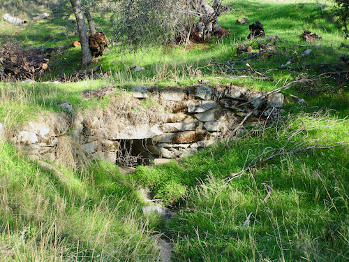
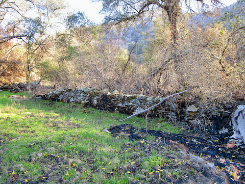
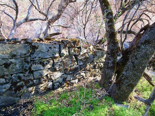
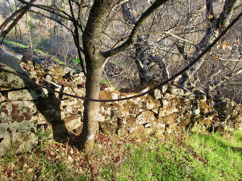
Because it all burned, this impressive rock wall shows up.
We followed the wall, which followed the creek. All this chiseled quarried stone, laid without mortar, for what end?
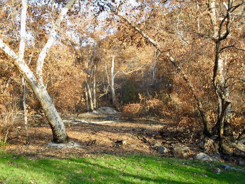
Ugh. Fire. I kept expecting to come to a granite slab with Indian grind-holes. Sure enough, we did, but I didn’t photograph it. I was too absorbed in the sycamores, stone wall, and the green.
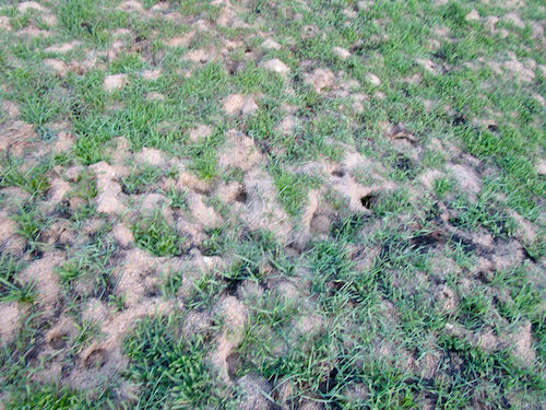
The ground was weird like this all over – is this some sort of fire-heave effect?? I don’t think it was a gopher evacuation camp.
The Farmer did a bit of searching and learned that the wall was built in the ’30s by the Civilian Conservation Corps, specifically the Yucca CCC Camp. Not sure what purpose it served other than providing work. If I didn’t have other things going on, I might look it up. But sometimes, a wall is just a wall, and a stone wall this aesthetically pleasing is good enough for this Central California artist for now.
A friend introduced me to his cousin. We became instant friends. Let’s call her Jane, because that is her name.
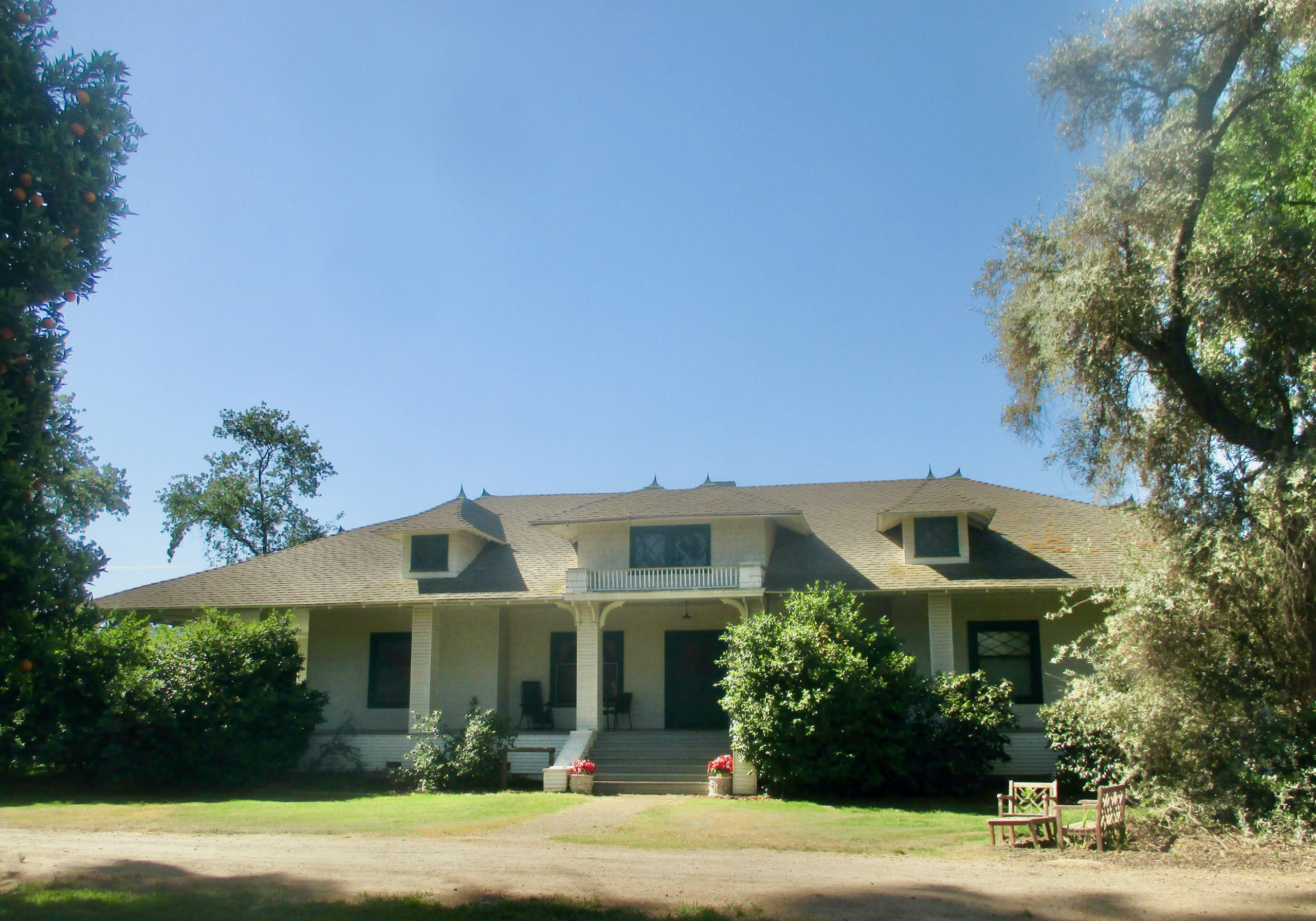
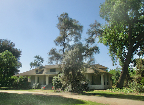
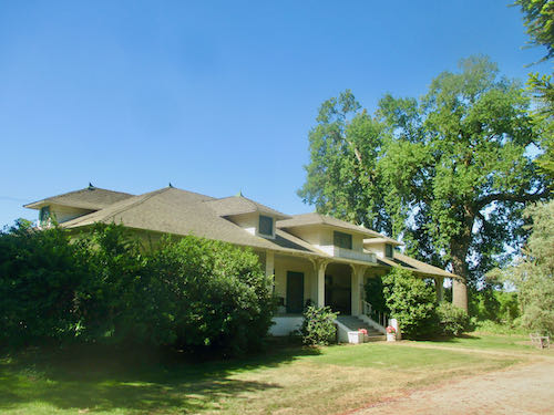
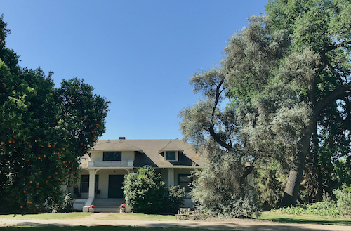
My friend and Jane’s shared grandparents had a wonderful home in the country south of Farmersville (Yes, that is the name of a town here in Tulare County. Wanna make something of it?) They both thought it would make a great drawing or painting, so I went there to take some photos.
I love the style of this house! I took many photos, from every angle possible.
Want to guess which one I liked best?
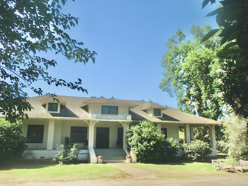
Want to guess which one Jane and her husband liked best? (They are my customers for the project.)
Want to guess which medium they chose?
“Medium” means the substance from which I will make the art – pencil or oil paint, in this case.
Nope, not a sports event, but the subject that I like painting the most right now.
Citrus Sunset, 6×12″, oil on wrapped canvas, $125 plus that annoying California sales tax.
This one is 18×36″ and it is NFS. Do you know what that means? That is an old fashioned acronym, before “acronym” was a common word.
P.S. It costs a fortune to have a transplant, and while insurance covers much, there is much more that it does not cover. If you feel generous and inclined to help my friend, Rachelle, this is the best way to do so: HelpHopeLive.Org
. . .held my interest more strongly than the 6×18″ of a Sequoia tree. I am having a thing for these pictures of citrus against the hills.
It is now drying, so I started another one, this time 18×36″.
Yeppers, upside down. This one feels huge, there is no deadline, and I really think it will look excellent in my dining room. Dining area — it is just an area, not a separate room.
What is it about these scenes that floats my boat? They are truly a source of inspiration to me right now. But, as a nod to a popular piece of advice, I’m not going to overthink* it. I’d rather paint.
*Have you noticed the popularity of this? The word “overthink” keeps appearing in book titles and songs, and now of course, in people’s speech patterns (along with “literally” when “figuratively” is meant, and “at the end of the day”). Who starts these fads??
P.S. It costs a fortune to have a transplant, and while insurance covers much, there is much more that it does not cover. If you feel generous and inclined to help my friend, Rachelle, this is the best way to do so: HelpHopeLive.Org
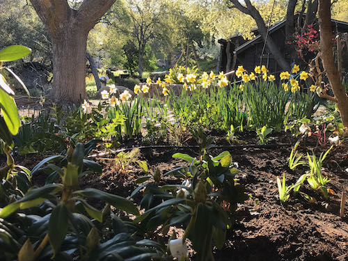
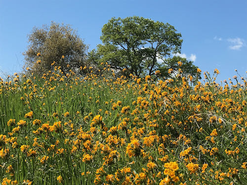
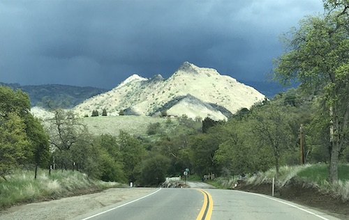
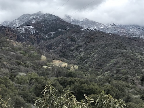
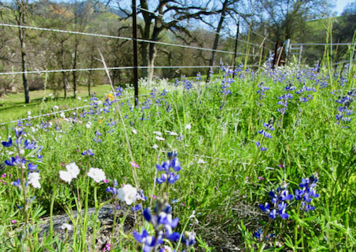
No particular order, no particular reason. Just sharing some of what I love about March in the foothills of Tulare County (where there is no Trader Joe’s).
Three Rivers has one river, the Kaweah, pronounced “kuh-WEE-uh”. Four forks come together into the Middle Fork, but apparently only three mattered when it was time to name the town. (No, I don’t know which three.) Middle, Marble, East, South, and North are the names of the various branches.
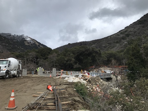
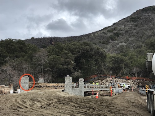
A week or two ago, I learned that the brother of two of my former drawing students took on something called a “bridge project”. He was commissioned to create four 2×2′ tile mosaics to decorate a new bridge somewhere in the county. I asked around and concluded it must be the bailey bridge at the upper end of South Fork Road. So, Trail Guy and I went exploring.
You can see evidence of the SQF Complex fire that burned a lot of South Fork, threatened Three Rivers, Case Mt. and Mineral King
Here is the bridge, going in just upstream of the old bailey bridge, and still just one lane wide:
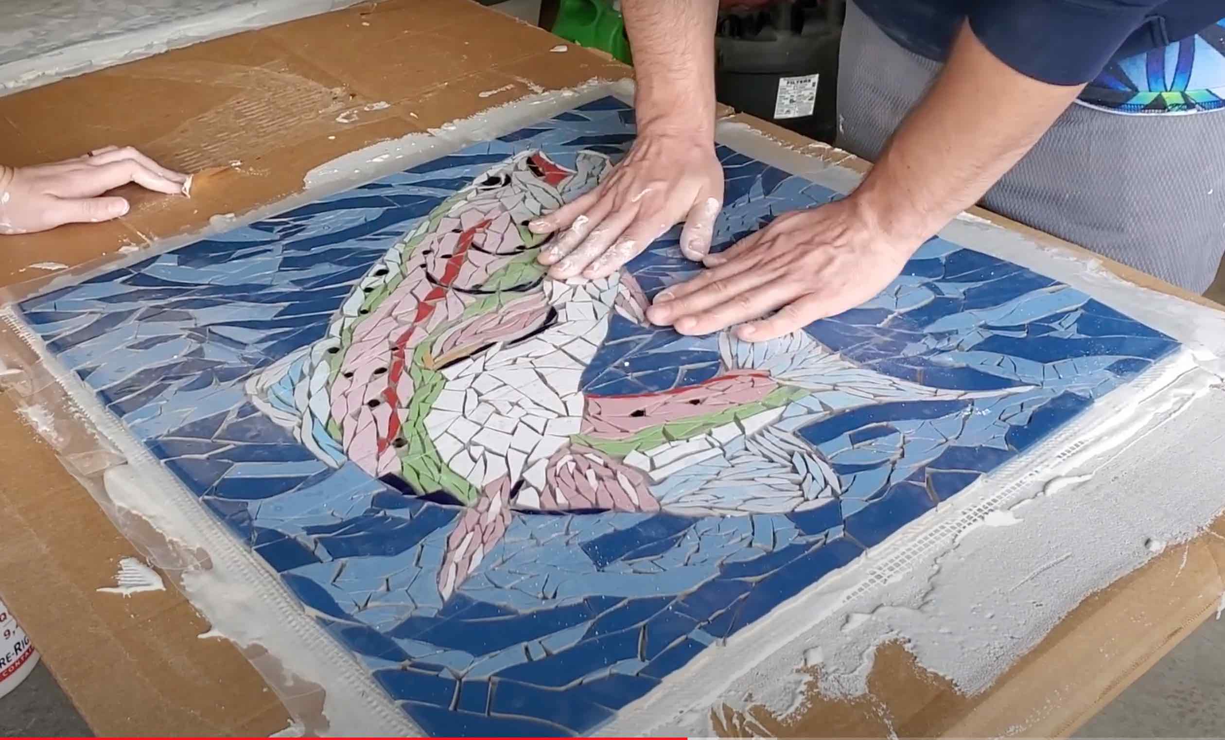
You can watch Nate Norman talk about making these tiles on this YouTube video. (You might want to fast forward past the first few minutes of someone talking about Arts Consortium business and get right to Nate’s presentation.)
I did a screen shot from the video to show you one of his truly beautiful mosaics. As someone who has experimented with tile mosaic in the past, I can assure you that this was no small undertaking.
We drove up near the bridge, but it was being worked on so I just took a couple of photos. I am guessing the tiles will go on each of 4 main pillars, one of which I have circled the spot in red for you.
The bridge is about 11 miles up South Fork Road, and I think the campground is one mile farther. We didn’t cross the bridge, but headed back down. It was such a beautiful day that I almost forgot about August. And heat. And smoke. And smog.
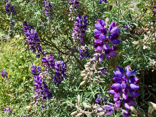
There were poppies, but they were closed up due to the overcast day. However, I did get this poor photo of a few wildflowers by kneeling in the mud on the side of the road.
You are welcome.
I do what I can to find the beauty in Tulare County, but not so much that people will flock here. Remember, we are uneducated, poor, unemployed, fat, and diabetic. Oh, and there is that bad air filtering down through the Altamont Pass from the Bay Area for which we get penalized. Further, there is no Trader Joe’s and never will be.
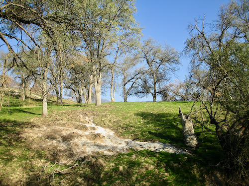
 We headed over to a big flat area, known as Grunigen’s Flat, a former homestead or cattle ranch or commune or something.
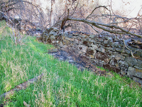
 I kept expecting to come to a granite slab with Indian grind-holes. Sure enough, we did, but I didn’t photograph it. I was too absorbed in the sycamores, stone wall, and the green.