Michael and I hiked to the upper Monarch Lake. It is about 5.5 miles – the first mile and a quarter is steep and hot and dusty with giant steps up that just suck the juice right out of your legs.  The Bigelow Sneezeweed are at their peak in August, as are the Gentian.
  The next 4 miles are on a beautifully graded trail with a flat trailbed; the trail actually has a few too many (unnecessary) switchbacks. It takes you well above Timber Gap, and it was a bit smoky from the California wildfires.
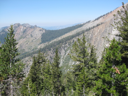 The last 3/4 mile is Find-Your-Own-Way.
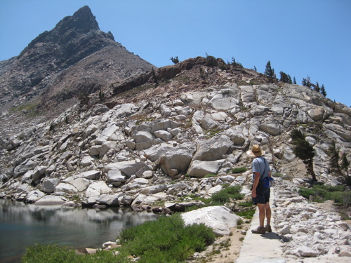 Upper Monarch Lake is one of the four lakes out of Mineral King with a dam on it. It was constructed in 1905, well before the well-graded trail was ever built (but you can bet it was thought of with great longing by those hard-working men!) The peak is Mineral Peak; it is the one some guy kept trying to convince me was Homer’s Nose while I was painting the mural.
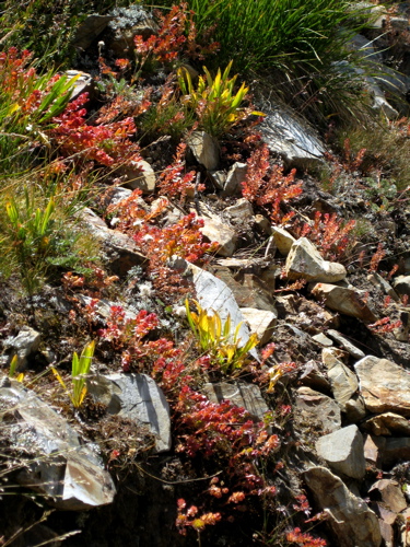 We went up one way from lower Monarch to upper Monarch; it wasn’t very easy. We came down a different way that included quite a bit of meandering and backtracking; it was much easier and rather interesting.
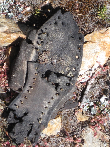 See what we found? We left it there. Pity the guy who had to hike down on a non-trail missing a sole!