Trail Guy and I like to explore the bottom of Lake Kaweah when the water is low. It’s a good place to ride bikes, ride horses, walk, or walk dogs, not pretty like the BLM land above our house, but spacious and easy to get to.
It changes each season, depending on water flow, rain, water releases, etc. The floods deposited an enormous amount of silt, sand, and rocks, all in layers. We saw this last January before the lake started filling.
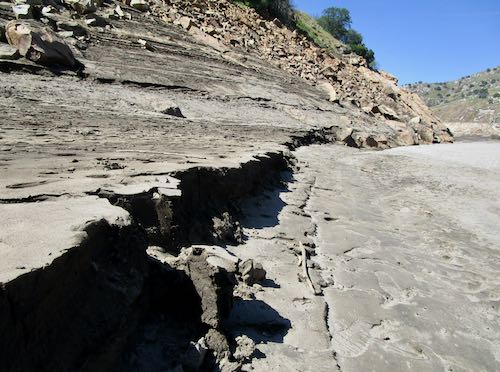
In past years, the Army Corps of Engineers has cleared the roads at the lake bottom, but this year it was too difficult. Or something. There must be some reasons, but from my ignorant point of view, I see all that material as useful for repairing all the ruined roads in Tulare County. Apparently not.
We spent an hour or so walking on the sand and dried mud to see how things might be this winter for walking and biking.
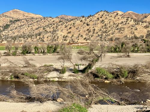
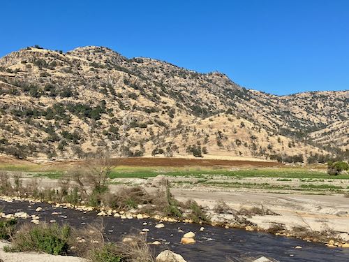
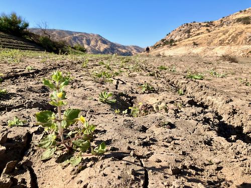
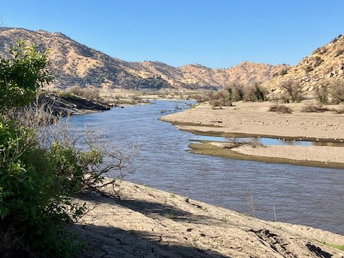
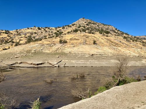
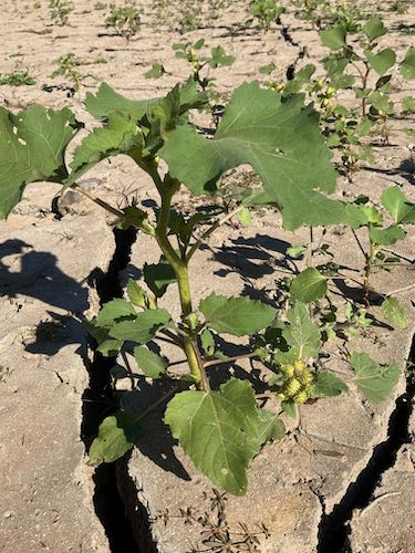
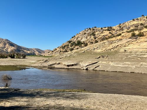
The cockleburrs survive no matter what. And Slick Rock isn’t looking too slick.
Lake Kaweah wasn’t a lake until I was about 4 years old, and it has been going through transformations ever since Terminus Dam was built.
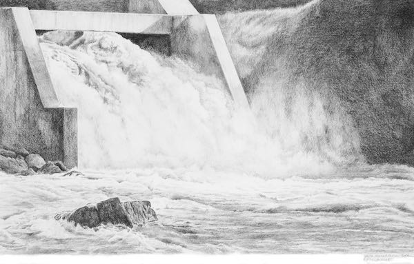
Lake Kaweah is weirdly fascinating, not exactly pretty, but always interesting. (Maybe next time I will remember to take a bag for trash.)
3 Comments
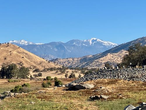
Favorite photo: the one with the snow-capped mountains in the distance! Maybe that’s a painting waiting to happen–by adding the water so it’s actually a lake again?
And thank you for picking up trash. There seems to be a plethora of it, especially in locations where the public hangs out. *sigh*
Sharon, I’ve contemplated that view many times, wondering if there is market for it.
Sorry to disappoint, but once again I forgot to take a bag for trash. I seem to forget every time until I’m actually there. So much stuff blows out of people’s boats and then appears when the lake level drops.
Same thing here when we get a strong wind–I see paper and plastic trash all over the place, including a pile of it on my front porch. Where does all this stuff come from??
Comments are closed for this article!