Some friends were visiting and had never been to Empire. We planned to go, woke up to horrible smoky conditions, waffled a bit, and then went anyway.
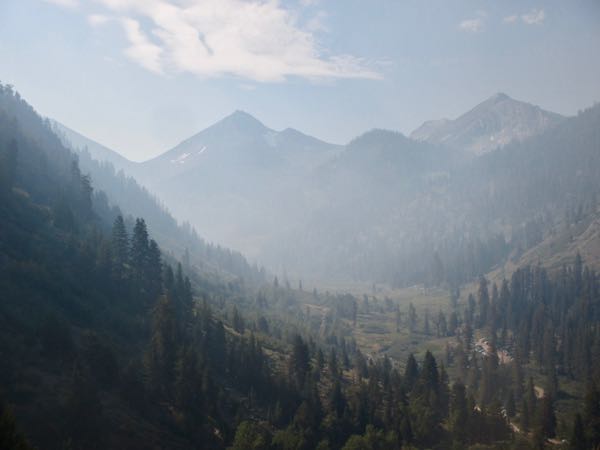
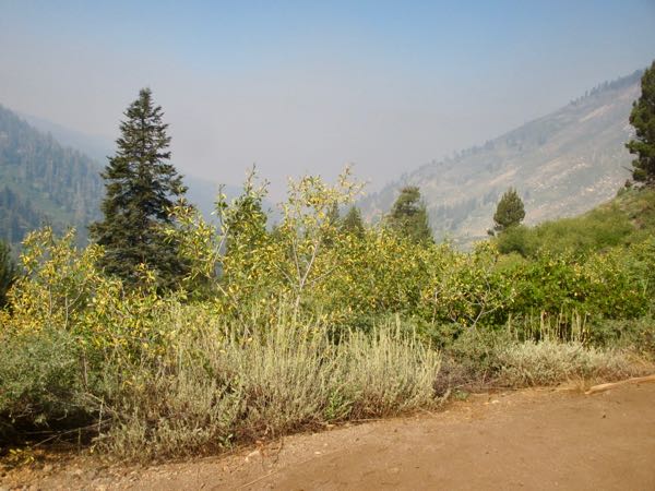
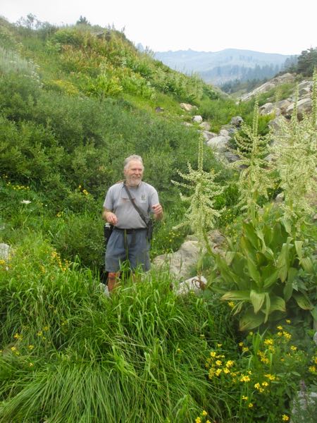
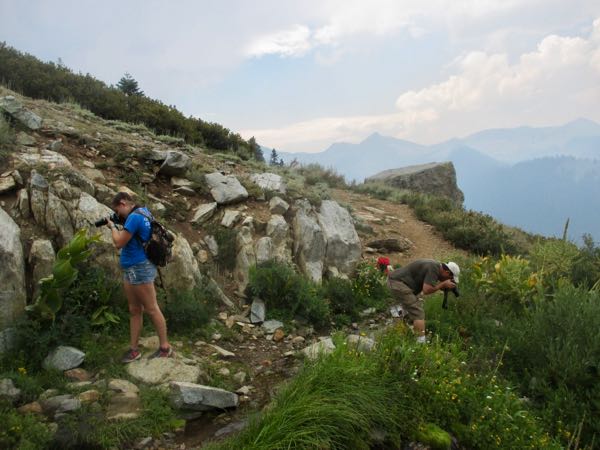
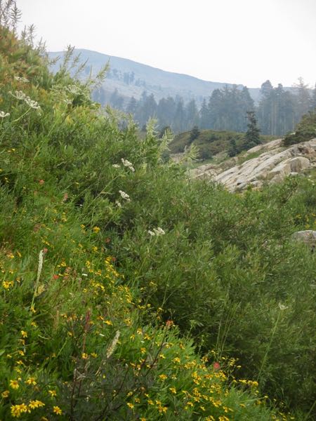
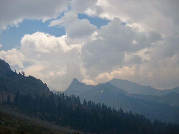
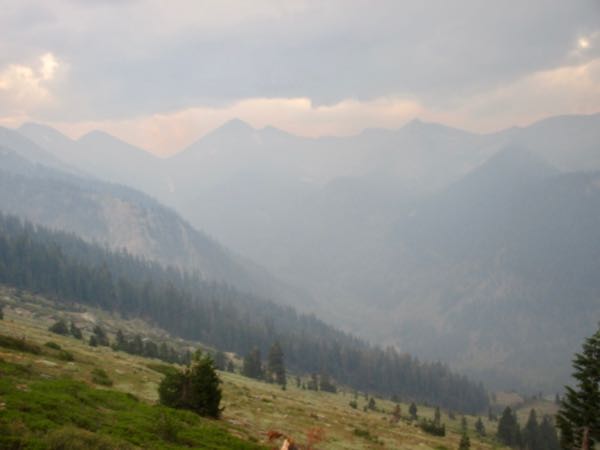
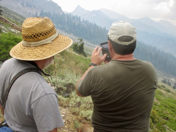
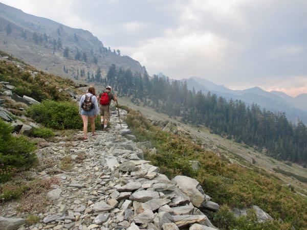
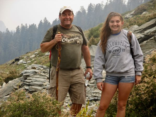
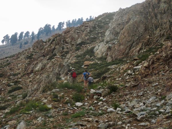
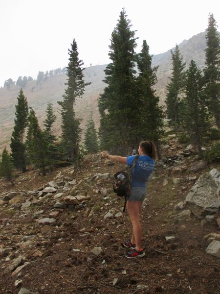
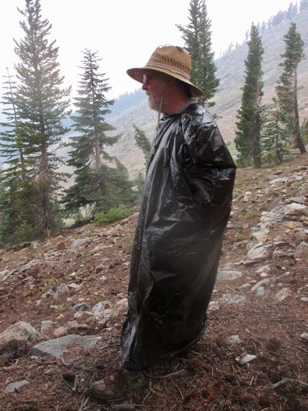
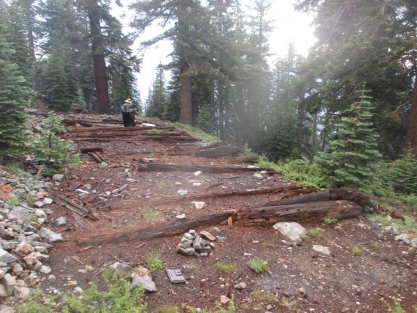
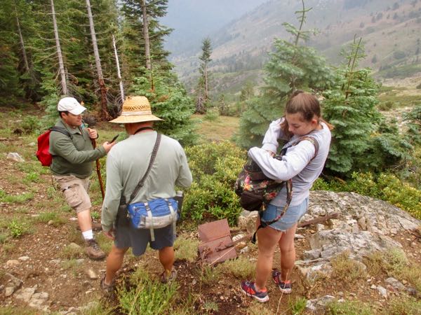
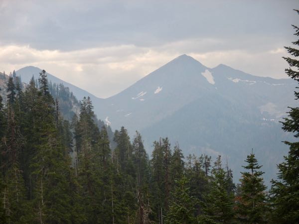
Some friends were visiting and had never been to Empire. We planned to go, woke up to horrible smoky conditions, waffled a bit, and then went anyway.


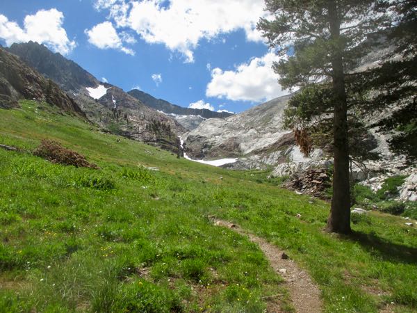
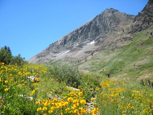
White Chief might be the most beautiful place accessible by foot from Mineral King. Short hike, steep, lots of variety. Any time Trail Guy encounters someone along the trail below the Eagle Lake/White Chief junction, he tells them they will be happier if they choose White Chief.
Here are more photos from our Eclipse Day White Chief walk/hike.
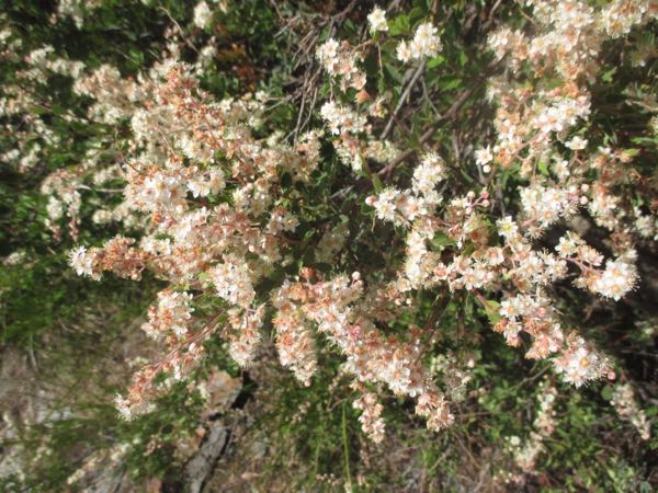
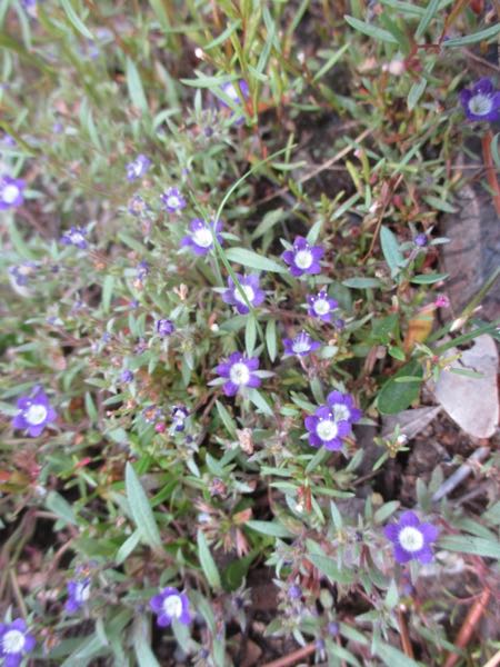
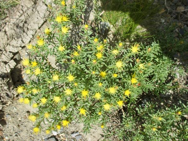
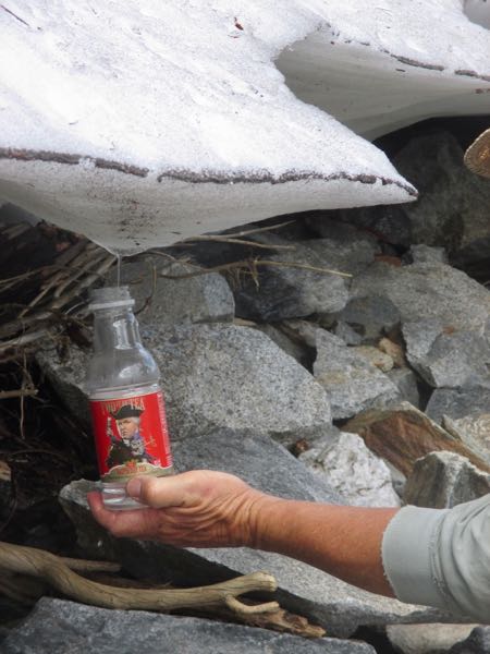
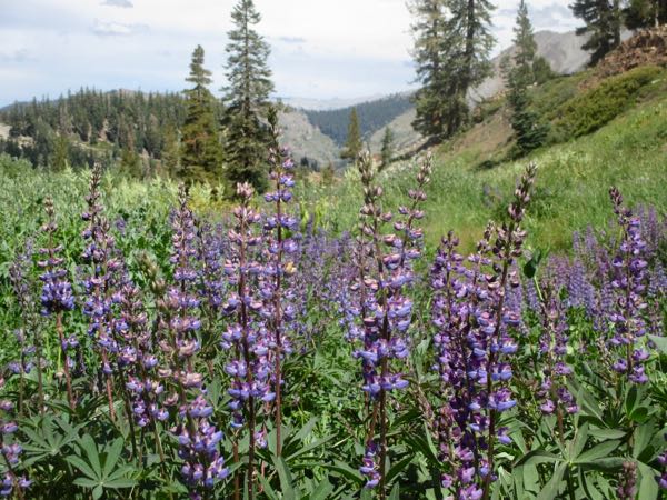
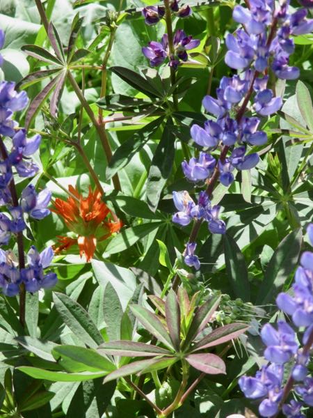
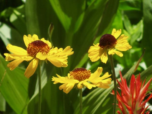
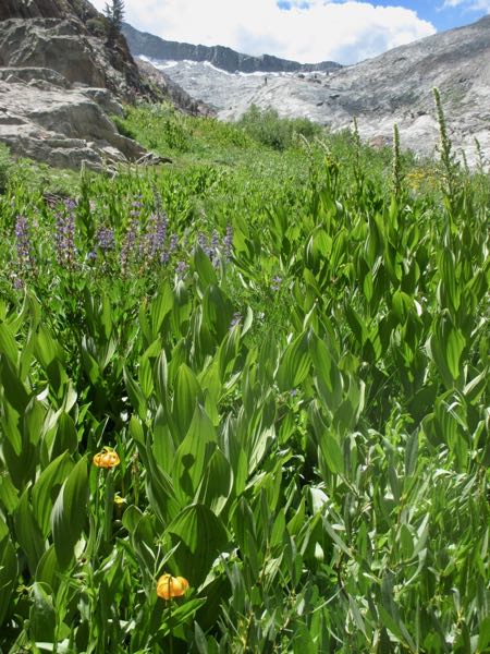
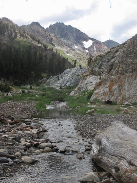
There are more photos, but they were on Trail Guy’s camera because I overworked my battery. Aiming at the sun may not have been such a good idea. . .
More tomorrow? Stay tuned. . .
The eclipse. Big deal. Lots of chatter. Lots of ideas. Lots of rah-rah. What to do about it in Mineral King?
Easy! Poke a hole in a piece of cardboard with an ice pick, get a piece of white paper, and walk to White Chief.
I say “walk” because I elected to not carry a pack or food. My camera was in my pocket, and a water bottle was in my hand. Let’s go!
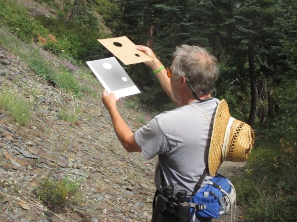
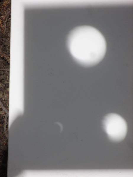
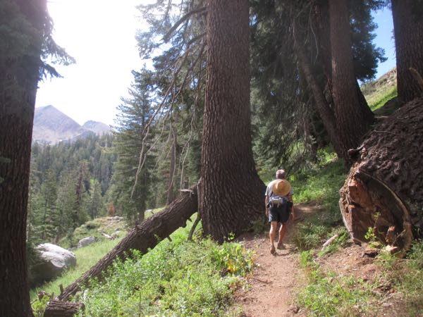
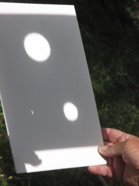
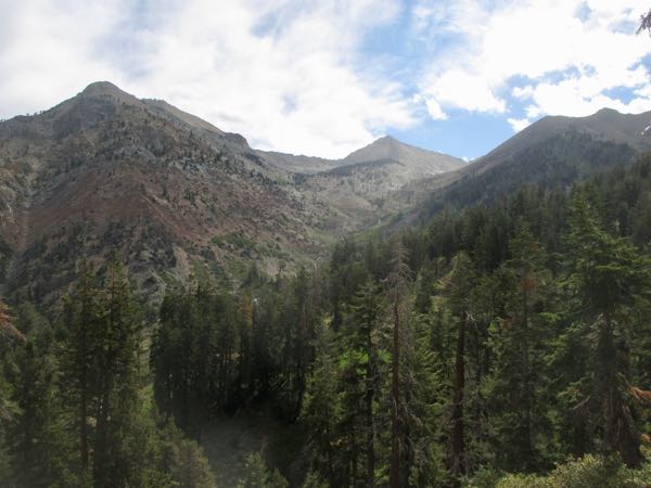
Since the steepest part of the hike was behind us, we decided to just keep on trucking up the trail into White Chief. The day became very crystal clear.
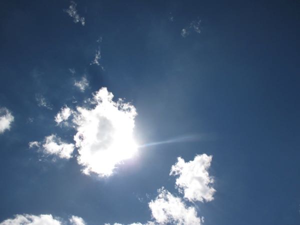
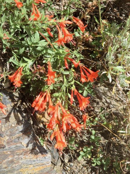
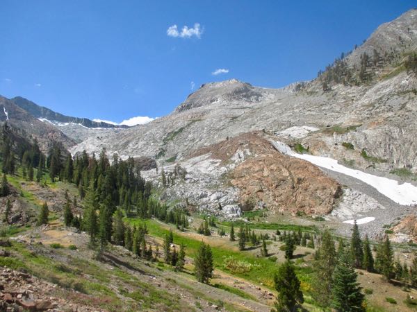
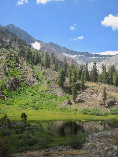
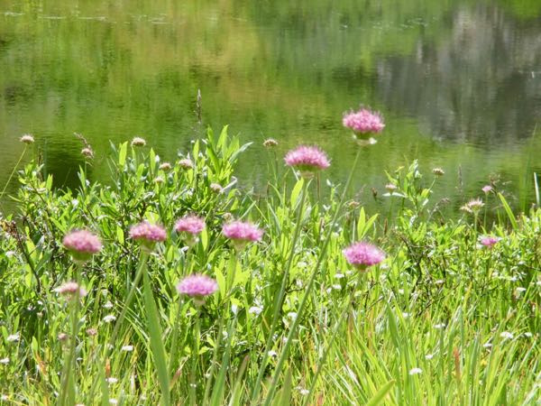
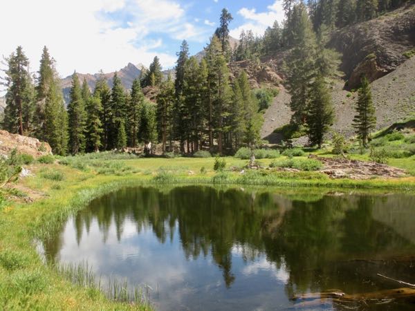
To be continued. . . tune in tomorrow.
The rock section of the Eagle Lake Trail is very challenging if you were just expecting a little walk in the woods. Sometimes you have to wiggle your feet between some boulders, sometimes you have to just guess where the trail might be, sometimes you walk on a slab of granite, and none of it is very easy.
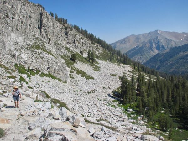
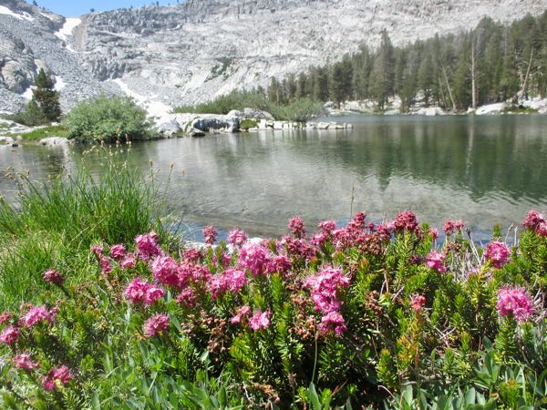
There are rewards: this is “Heather”.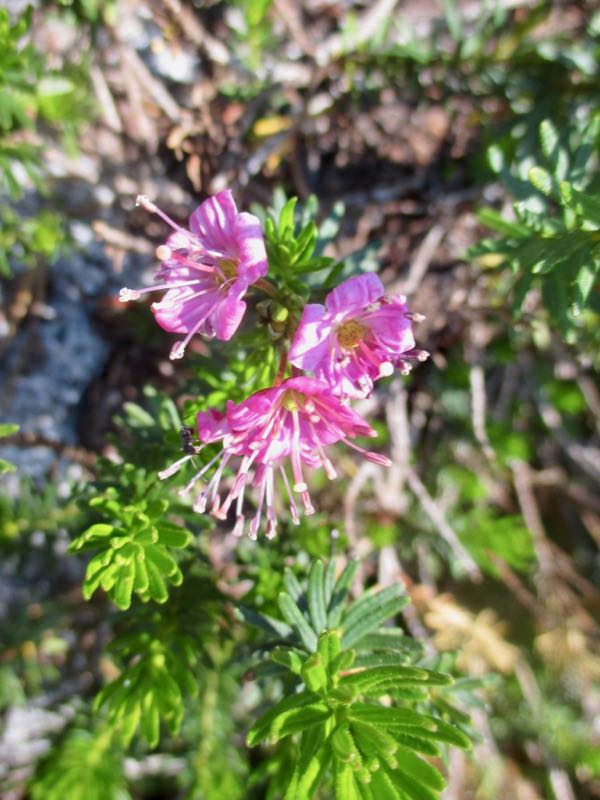
After the rocks, there is another section that I forgot about. It isn’t too hard, but you have to watch your step because of all the roots. Trail Guy said there needs to be more “trail checks”, which are things that catch rocks and dirt when water is flowing down the trail; otherwise, all the fill dirt washes down the trail, exposing the roots of the trees (none of which show in this photo- you’ll have to trust me on this.)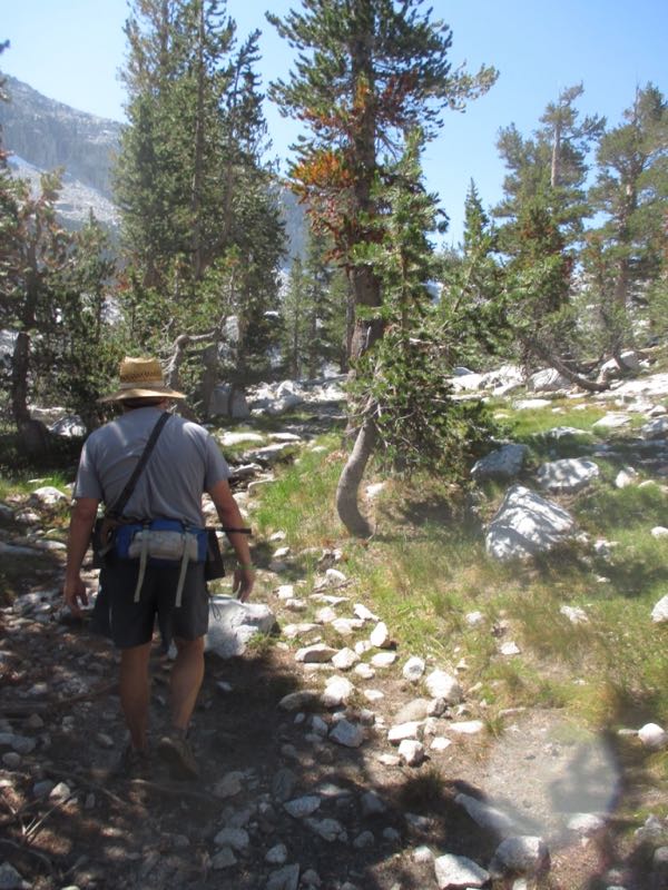
Eagle Lake is one of 4 lakes dammed by the Mt. Whitney Power Company so they could control the water flow for producing electricity. Trail Guy is heading out over the dam; doesn’t it look like a lovely inviting path?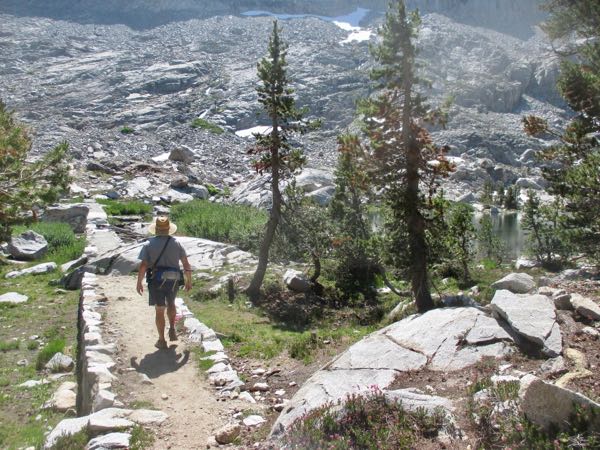
Welcome to Eagle Lake. Wish I’d brought some M&Ms. We earned them.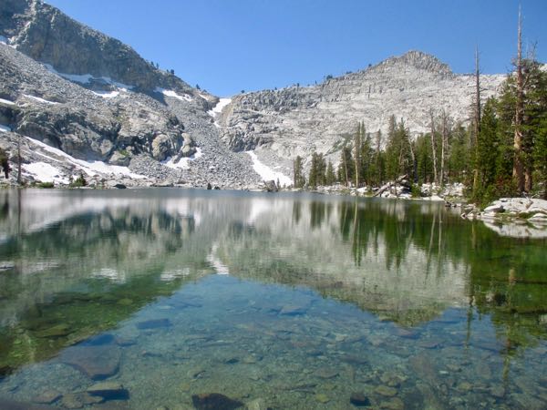
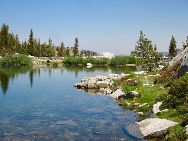
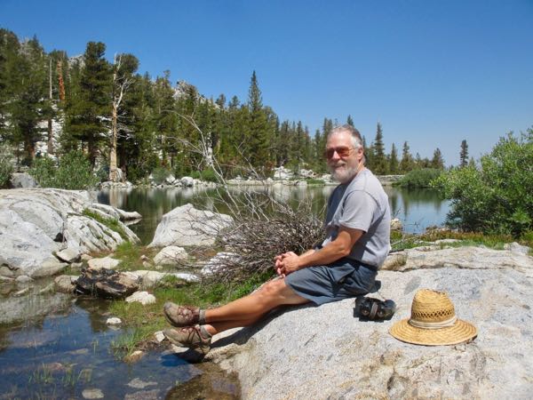
Trouble is, now we have to retrace our steps.
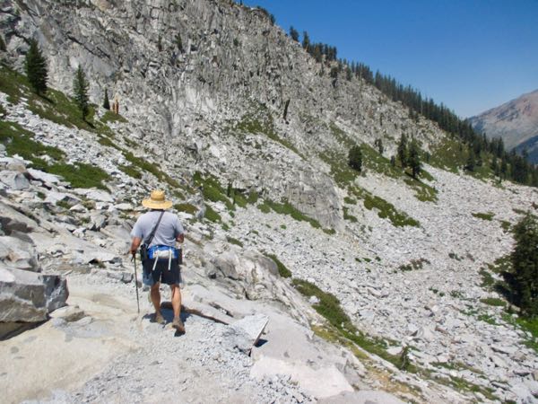
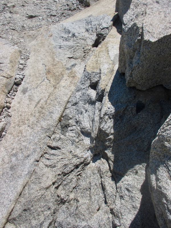
I think of the Eagle Lake Trail as “roots and shoots”, because there are zillions of roots to trip over, and all those rocks required lots of shooting with explosives to make the trail. The evidence is in those star-ish shaped dealies on the rocks.
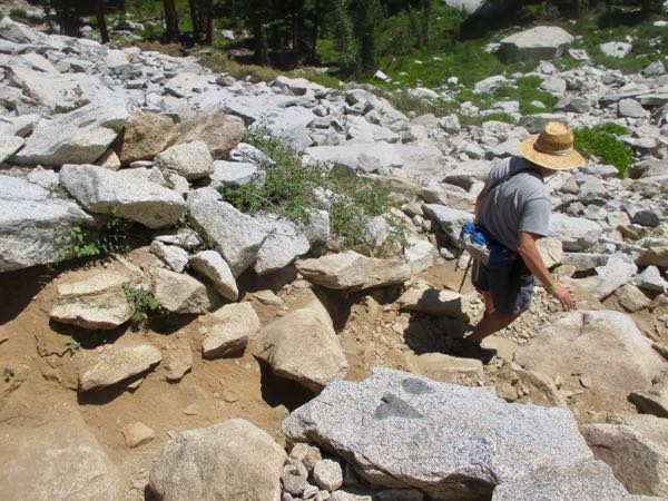
The vertical meadow below the sinkhole and above the trail junction to White Chief was still full of a variety of wildflowers.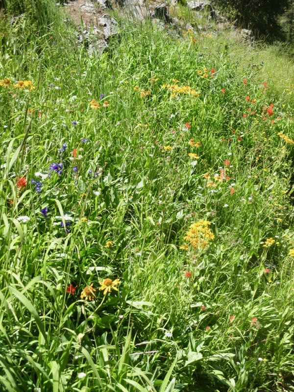 So interesting that Eagle Lake is the most popular Mineral King hike destination, and it is probably the very worst trail. Our conclusion is that people like the name, have no idea what they are getting into (it’s only 2.4 miles one way – how bad could that be?? Try 2+ hours to walk it and then decide for yourself!), and most people want to go to lakes.
Remember that I said the last time I saw Eagle Lake it was empty because some stupid hon-yock opened the dam? I didn’t want that to be my last view of the place, so I told Trail Guy I wanted to go there, and I hoped he would join me.
He consented. I asked why he dislikes that hike so much; his reply is that the trail bed is horrible.
As usual, he was right.
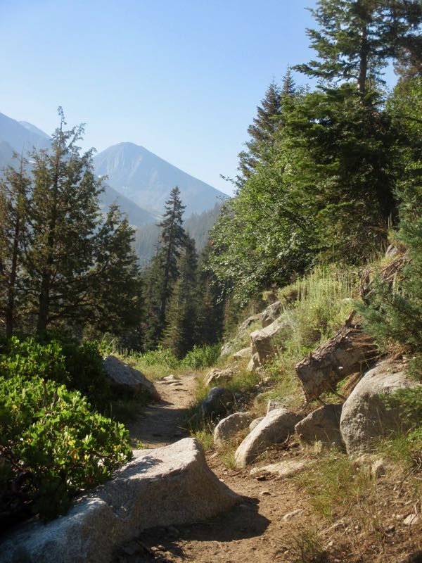
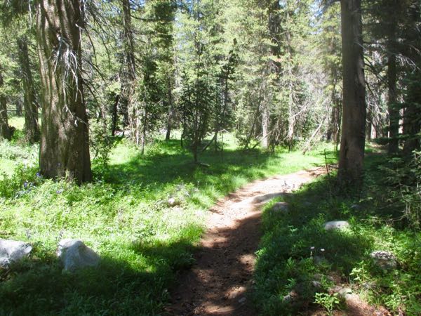
This is the prettiest area of the trail – flat, usually full of wildflowers, running water alongside the trail, shade, and TONS OF MOSQUITOES! So unfair. . .
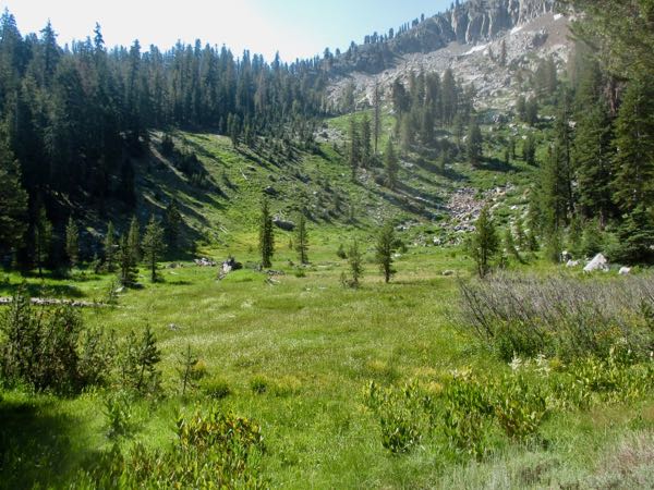
Was it just 2 weeks ago that this meadow was completely full of Jeffrey Shooting Star? Now it is full of knotweed, but it is white so makes no impression in a photo.
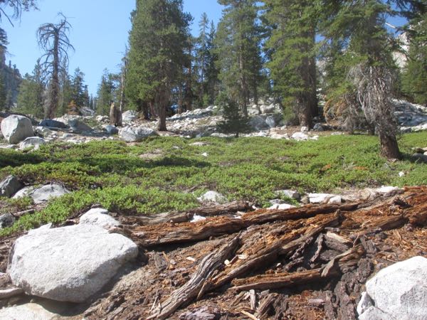
We climbed through an area I had completely forgotten about. I knew the rocks were coming, and forgot about this buffer zone.
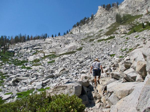
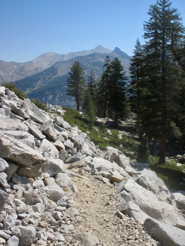
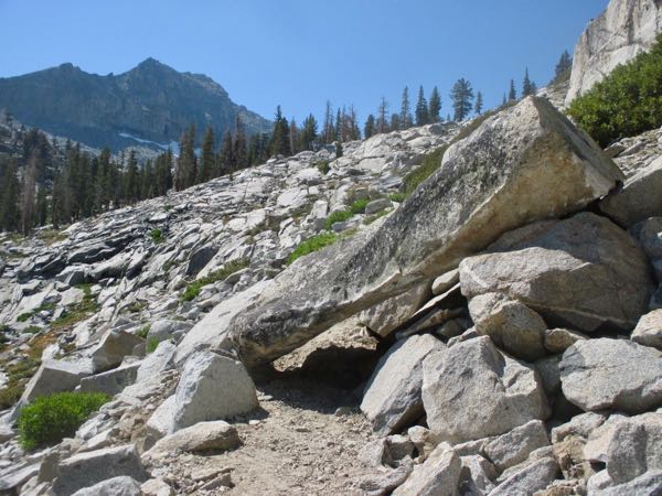
After I navigated over/around this big boy, I caught up to Trail Guy standing by this:
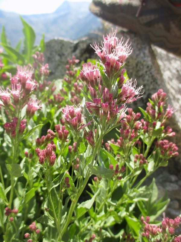
I said, “WESTERN EUPATORIUM! I haven’t seen this in years, and the last time was on the Franklin Lake trail!”
Trail Guy probably thought I was a little delirious.
To be continued. . .
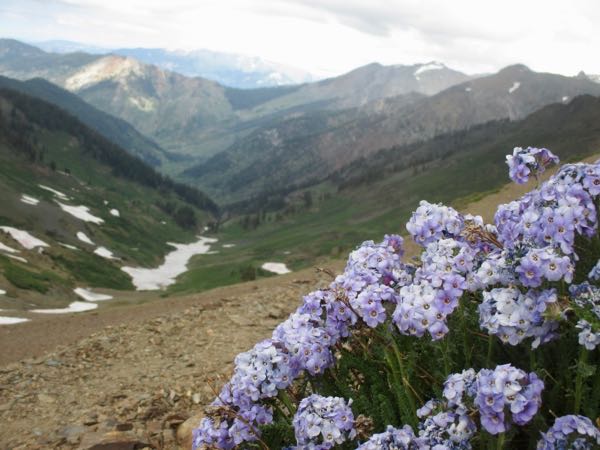
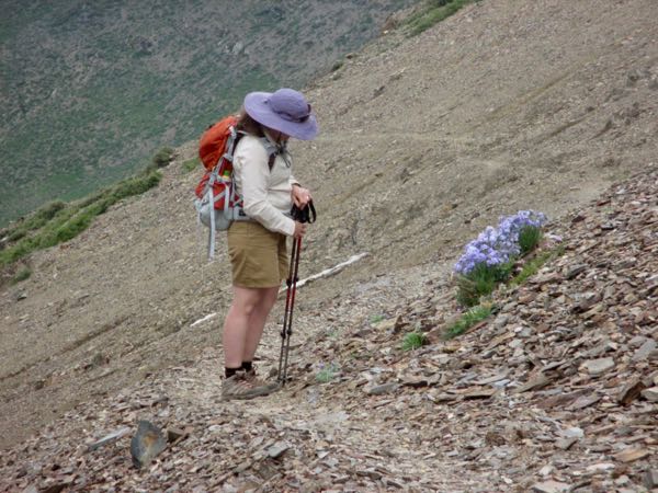
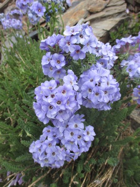
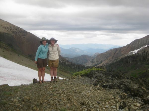
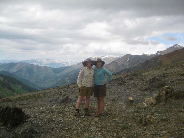
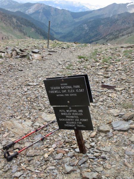
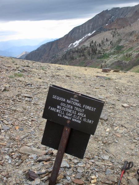
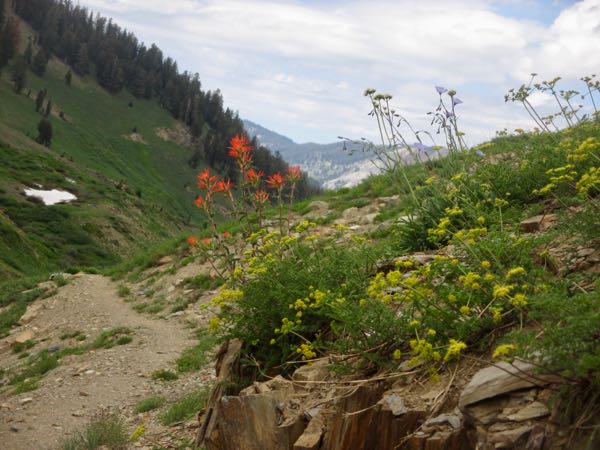
Two days after Trail Guy went to Farewell Gap via a loop, we returned together with our new best hiking buddy Jessica. The point of the hike was to see Sky Pilot, an elusive high-elevation flower that we’ve never seen anywhere except Farewell Gap (not that we go anywhere outside of Mineral King. . .)
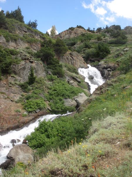
Here are my photos of that trip.
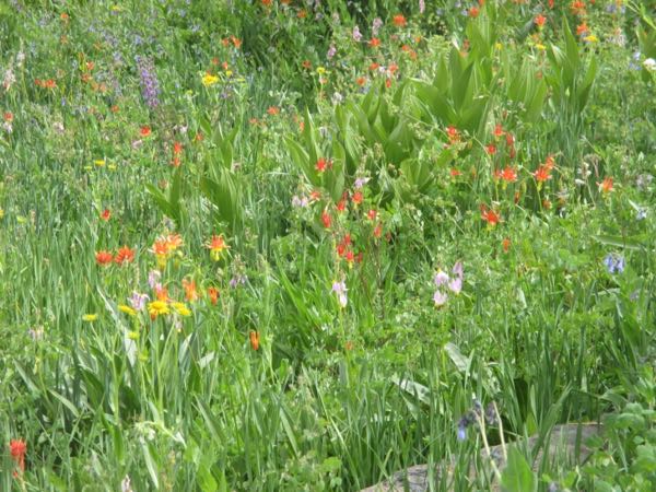
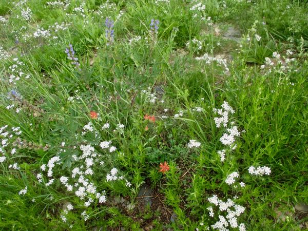
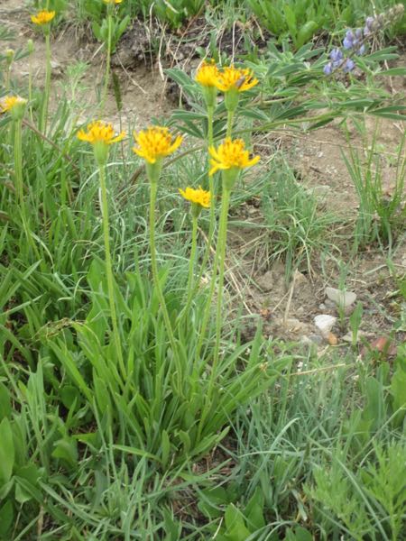
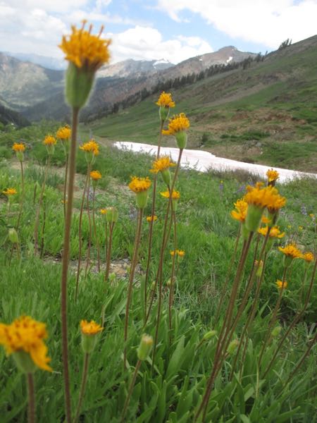
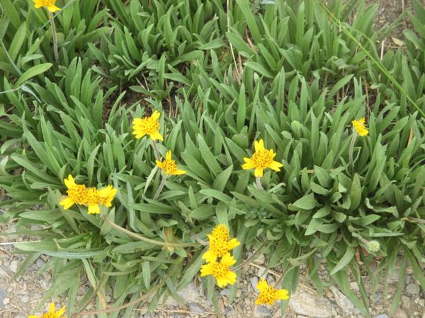
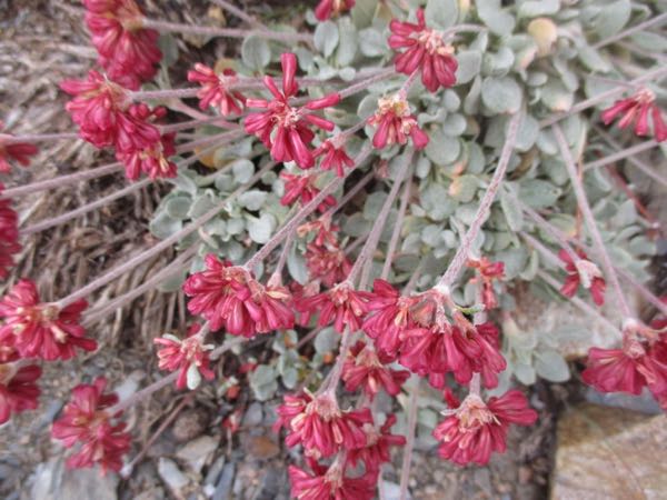
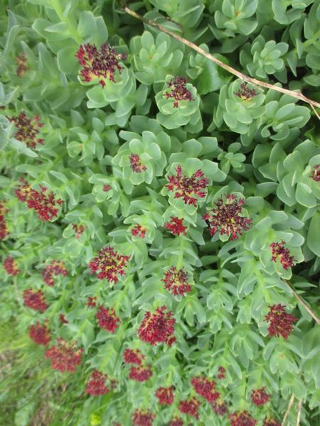
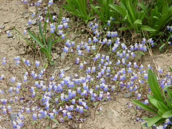
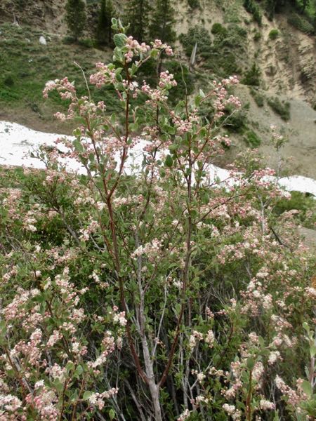
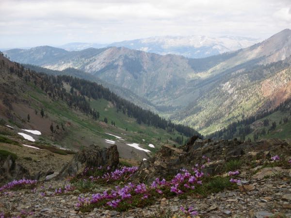
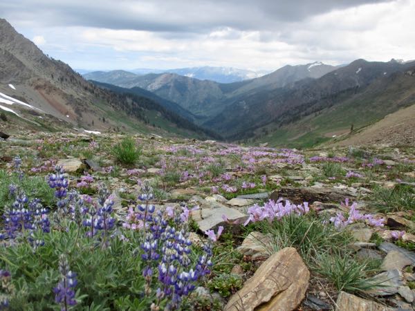
 I felt sort of tired, and thought, “How disappointing, I’m out of shape”. It later occurred to me that middle-aged people who are truly out of shape don’t hike 13+ miles in one day at high altitudes (or low ones either).
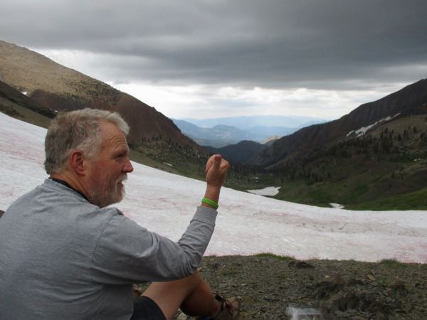
HAPPY BIRTHDAY, MELISSA!!
When I hike, I think. When I think, I ALWAYS have questions.
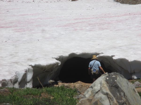
Here are his photos from inside the tunnel:
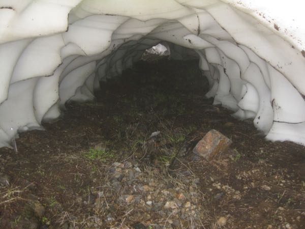
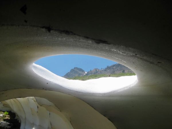
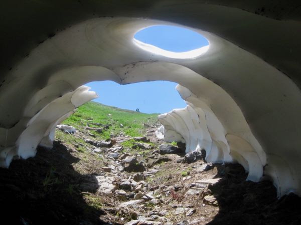
About a week later, the tunnel looked like this. He walked in it a ways, and then climbed out onto the pinkish algae-clad snow.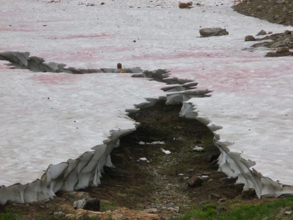
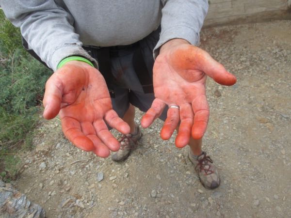
The more he rubbed and tried to wash off the algae, the redder it became.
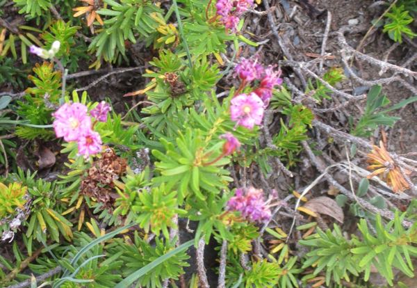
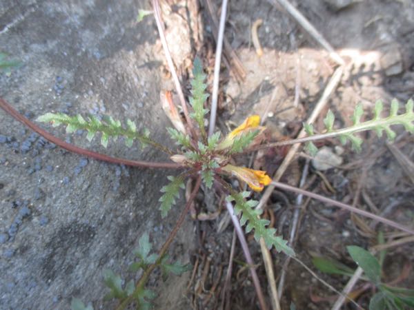
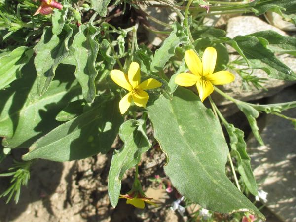
My favorite place and time in Mineral King is a flower show in the first half of July at the junction of the Farewell Gap and Franklin Lakes trails.
First, we had to get there. It is 4 miles one way on a well-graded uphill trail. Some parts are flattish, some steeper than others. There is very little shade. There are 2 creeks to cross.
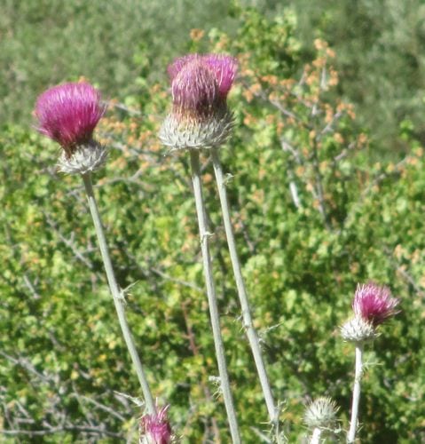
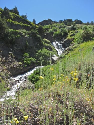
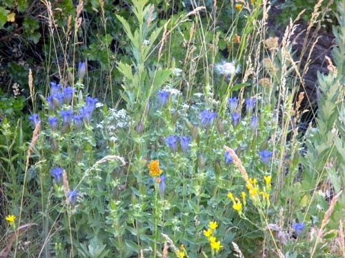
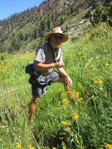
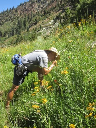
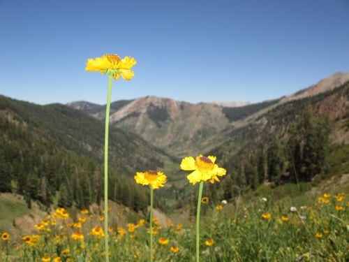
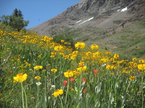
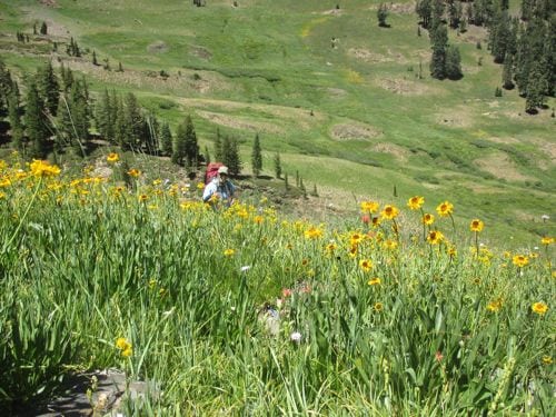
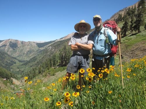
Trail Guy led a group hike up to the Empire Mines last year. It was fun, informative, and a good time was had by all. So, he was asked to lead it again this year. I only took a few photos this time, because all my photos are looking repetitive. You can see more of them here.
Trail Guy hot-footed it down to the Sawtooth parking lot to see who was joining us.
There was a youth group from a church in Woodlake, all gung-ho and raring to go.
We were blessed by the presence of Interpretive Ranger Josh, who is very dramatic and very entertaining.
Three of our friends from the Sawtooth Six came along. I only photographed one of them, because he was with me and the other two were way out in front.
It was a nice day to be out on the trail.
Nice day to make some new friends too.
We went up to the bunk house, up to one of the mines, back down to the bull wheel, on to the road, into Timber Gap, and back down the trail. This is at the top of Timber Gap.
This is looking over Timber Gap into the Middle Fork drainage of the Kaweah River.
The end.
P.S. Last year’s hike is in 2 posts. I said more then. I have more to say when I’m not bowed up by worry over a book at a printer that does not return phone calls.
I hit a bit of a bump in the road with the book The Cabins of Wilsonia and I don’t want to talk about it. So let’s put our hands over our ears, shout LALALALA in a loud monotone and run away to Mineral King. These are not in any particular order – I’m just speed slamming Mineral King photos, sort of like I do M&Ms or chocolate chips in times of desperation.
Hey! I painted that! Back in the olden days when I had time to paint because I didn’t have a book at a printer with a bump in the road LALALALALALALA!
Maybe tomorrow I will be able to talk about it. If so, it will be on my other blog, www.thecabinsofwilsonia.com Meanwhile, LALALALALALA.