I went to Sequoia National Park twice in October because this place attracts people from all over the world, and it is ONLY ONE HOUR FROM THREE RIVERS!! I don’t go very often because we go to Mineral King, another fabulous part of Sequoia. But when Mineral King isn’t accessible, why not go to the main part of “The Park”, as we refer to it here in Three Rivers?
On Saturday, October 28, I was supposed to go to the Native Voices exhibit unveiling at the Three Rivers History Museum, but this lovely opportunity presented itself. (Besides I thought there would be too many people at the museum.)
Trail Guy and I headed up the Generals Highway with The Farmer and Hiking Buddy. Because we were with other people, I didn’t keep calling for a pullover to take photos even though the dogwood were really getting their fall colors. I have enough photos. (Maybe.)
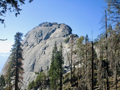
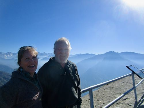
Climbing Moro Rock is unmatchable in its awesomeness. There is this little nagging thing in the back of my mind that says one day either my feet won’t let this happen any more or The Park will decide that it isn’t safe and just shut it down. That would be tragic.
This time I didn’t take any pictures on the way up. (There were too many people.) What I find surprising is that each time I go, it feels unfamiliar, as in, “I don’t remember this stretch of steps”.
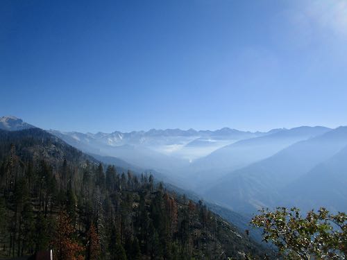
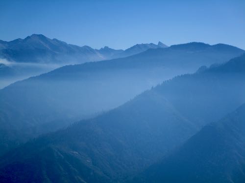
The smoke from the fires in Redwood Canyon was much stronger than 2 weeks previous.
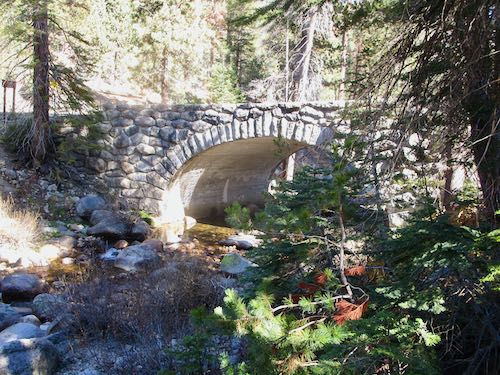
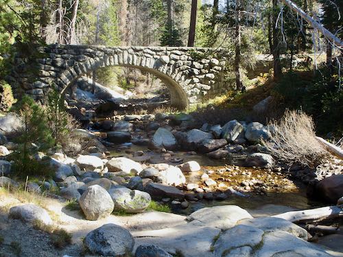
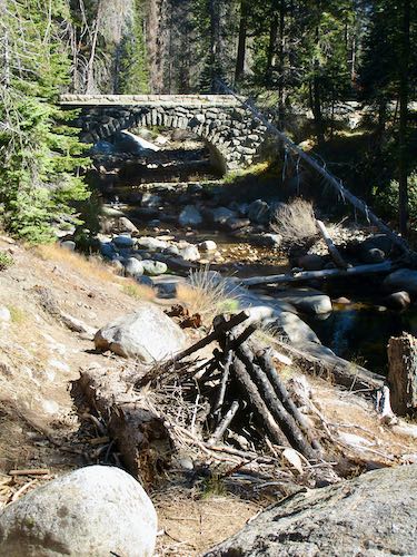
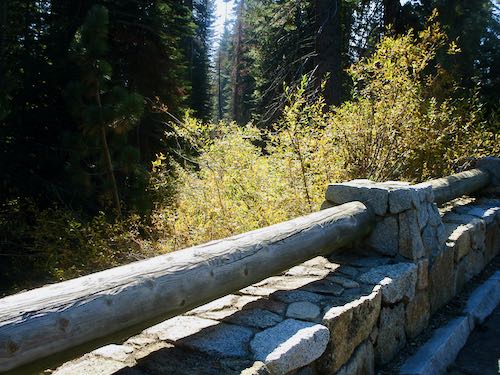
A week or so earlier, I learned about the Marble Fork bridge, just beyond Lodgepole. I’d seen it many times, but never paid attention because the Clover Creek bridge is bigger and more noticeable. The Marble Fork bridge has lots of parking, picnic tables, and easy access to the water, but not too many people. Why don’t more people stop here? Because it isn’t highly publicized or signed. Look at this fabulous piece of rock construction:
We drove to Wuksachi, with the intent to explore some of the trails around the large area. This was developed in the early ’90s to take pressure off Giant Forest; there are still at least as many people in Giant Forest. It has the museum, big parking lot, the Moro Rock/Crescent Road and all are the first area you come to that feels as if you have arrived.
Wuksachi had tremendous plans for expansion. More lodging, perhaps some little cabins were planned, but nothing has come to fruition. It has three sort of Motel-6-ish units, and a giant lodge (why “lodge” when there are no places to stay in that building?) with a gift shop, lounge area, bar, and restaurant with giant windows and a fireplace.
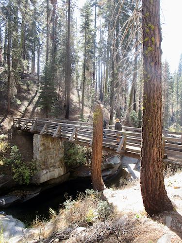
Wuksachi doesn’t have any redwood trees, and a lot of the area around has been burned. It has many meandering trails, lots of rustic bridges, and it connects to a trail that leads to Lodgepole or Twin Lakes. I’d never been on those trails, and didn’t know Clover Creek ran nearby, nor that you can walk to Lodgepole from Wuksachi. (We didn’t.) This bridge caught my eye because it looks as if it has been there for awhile, rather than the new (from the 1990s) ones throughout Wuksachi’s grounds.
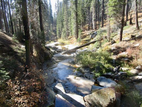
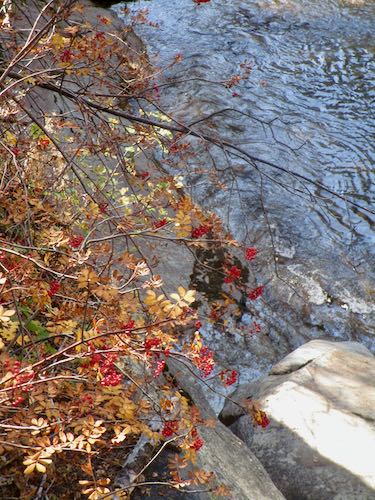
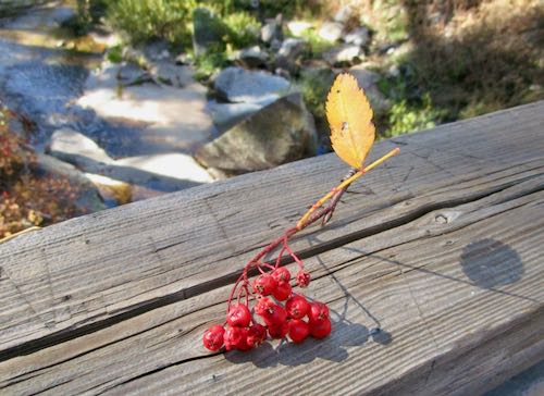
Instead of eating at Wuksachi’s Pizza Deck as planned (too many people), we ate our backup picnic lunch on some abandoned and mostly broken picnic tables off in a sunny place. There are lots of large outdoor storage areas, probably intended for parking lots or more lodging, and they definitely didn’t have too many people.
Then we continued exploring on foot, and I was attracted to other bridges. This one was a driving bridge; the light didn’t seem right for good photos on those other footbridges. (I might need to go back again.)
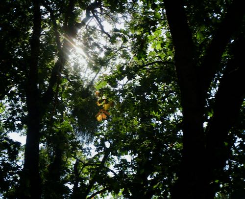
There is still some road construction on the Generals Highway. On the way down we hit a red light beneath some black oaks with a few leaves beginning to turn their golden fall color.
We were hoping to look across the canyon to Admiration Point and then use binoculars to see if the Colony Mill Ranger Station is still standing.
I didn’t take a turn with the binoculars because I saw penstemon in bloom. Penstemon in late October?!
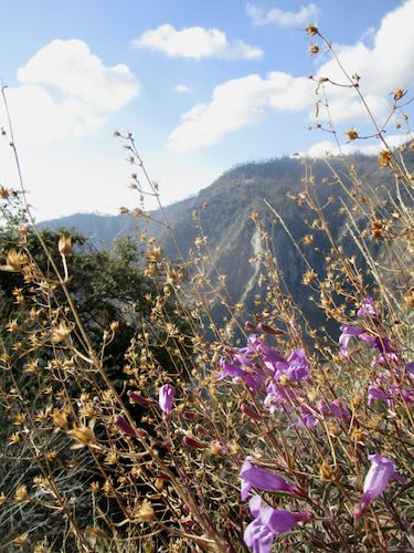
Admiration Point is across the canyon. I haven’t circled it on the photo; just know it is there.
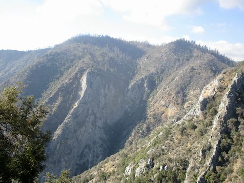
Thus we conclude another day of not painting or drawing. Next week perhaps I will be more productive, artwise. But sometimes an artist needs a few field trips to refill the well.