- The backhoe got stranded up the road after the March 9 storm, not by the February storms.
- The gates are locked, but it is now possible for cabin folks to drive to Mineral King.
Walk on the Mineral King Road
If you receive these posts in email and the pictures in the post don’t show for you, tap here janabotkin.net. It will take you to the blog on the internet.
This is your photojournalist reporting in from an excursion taken today, Saturday, March 18, 2023. Trail Guy, The Farmer, and I drove about 4 miles up the Mineral King road, then continued on foot. There will be many many photos (I took 92 but will only show you 47—you are welcome), and a little explanation or commentary.
The Road Closed sign is barely visible here below Mile 4.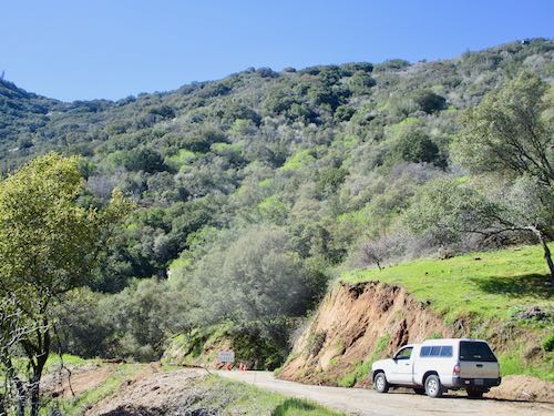
A friend was doing a similar excursion and began the same time we did. Trail Guy advised him to climb up to the flume for easier walking, because his destination was farther up the road than ours.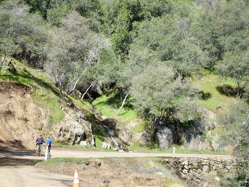
Common sight.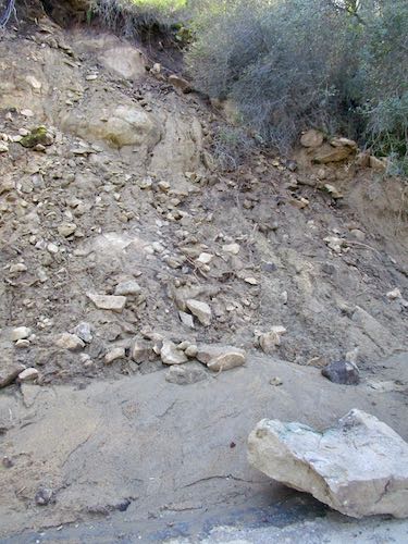
Ho-hum, another big rock.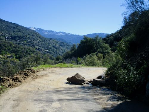
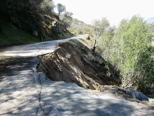
Mud, road a little bit gone.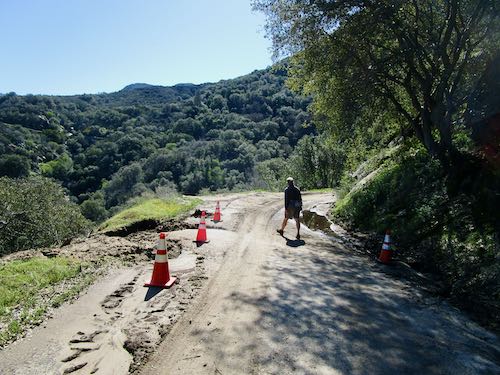
And yet another rock.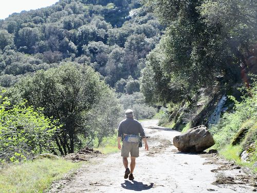
And another chunk gone.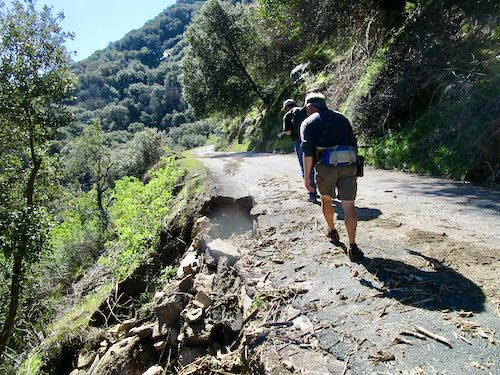
Wait, are you telling me we could have driven another 1/2 mile up?? Apparently so.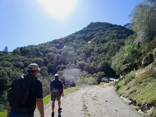
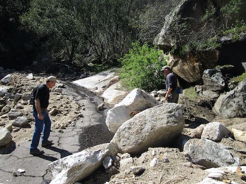
Whoa. This is the big washout. I bet Mineral King folks will forever refer to this as Washout Corner, or Washout Canyon.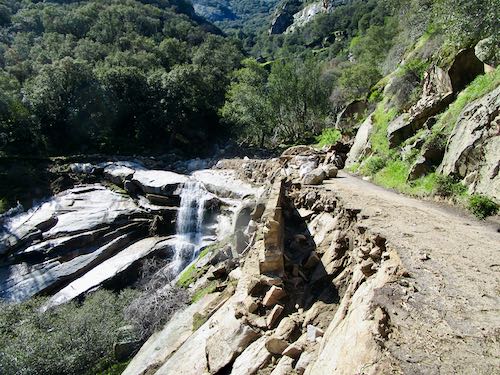
We had a little bit of boulder scrambling to do.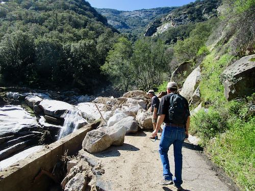
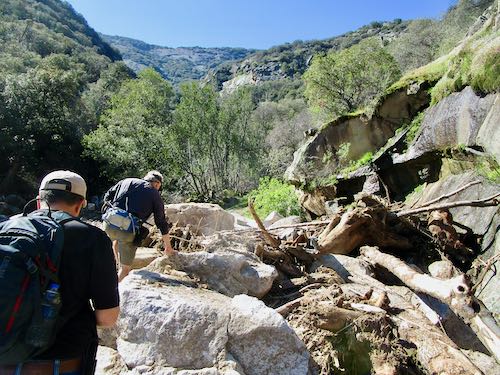
Then some water to cross.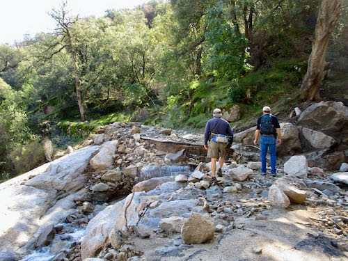
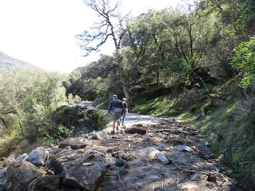
Looking back at the mess.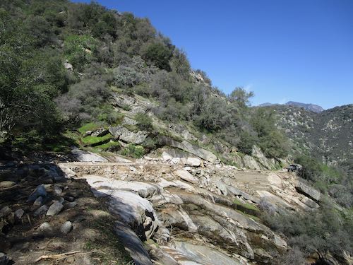
About 1/2 mile farther up from the mess.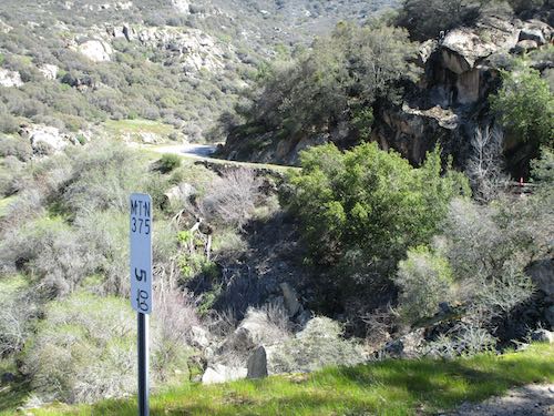
Standard mud-on-road.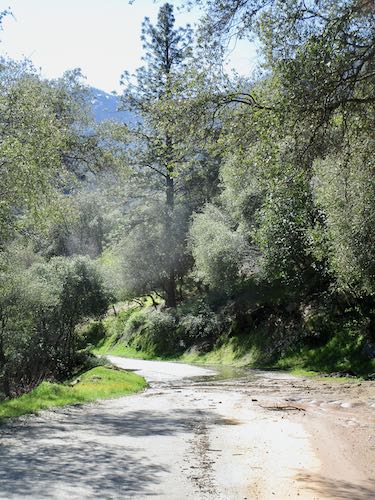
Oh-oh. Are we finished? The road certainly is. This is at Skyhook.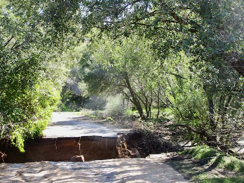
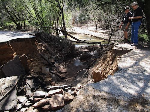
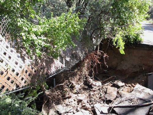
Nope, we are not done. The Farmer scrambled up the bank to the flume, pronounced it doable, and we followed.
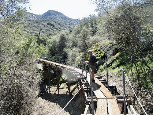
Our friend caught up with us on the flume, and we pulled aside to let him pass because he was on a mission to check on a man who lives farther up the road. We were just ogling, on a mission to see things.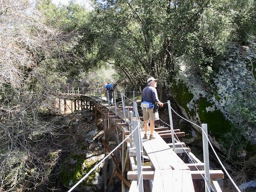
We climbed down.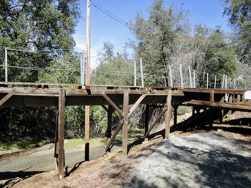
And headed down a paved road to the real road…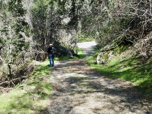
…only to discover we were on the uphill side of Skyhook. The flow went right through the center of the property.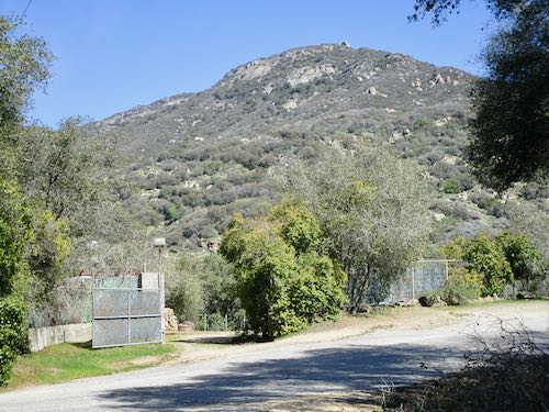
I want to go to the bridge.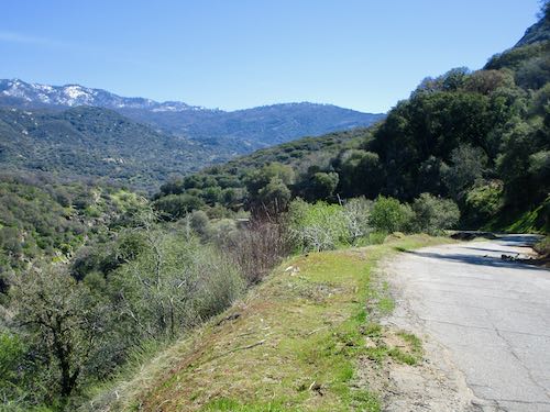
In the days before the flood, this would have been considered a disaster. Now, it’s merely another blip on the screen of the Winter of Water.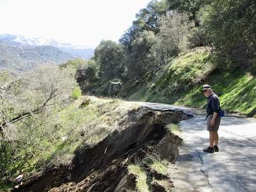
Bear Canyon survived. It appears to be abandoned, so even if it got washed away, no one would care. (what a waste)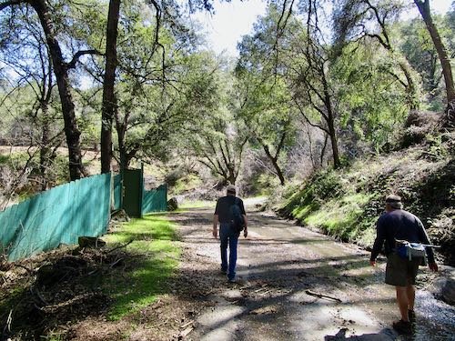
Another muddy section.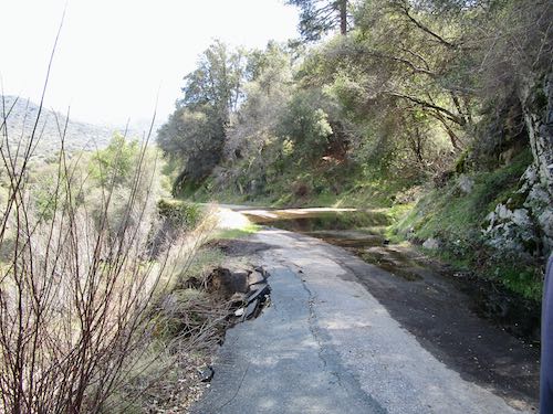
And yet another one. I waded through this one in barefeet. 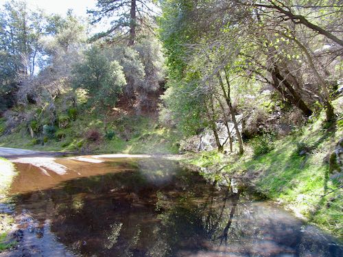
By the time I got to this muddy mess, I just walked through in my trusty hiking Crocs.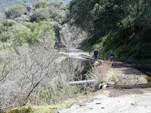
Such a beautiful flow of water in this canyon after too many dry years.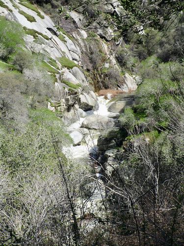
MY FAVORITE BRIDGE IS FINE!!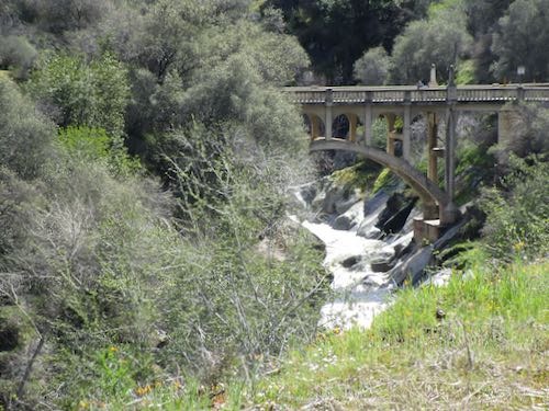
Rocks, mud, no big deal.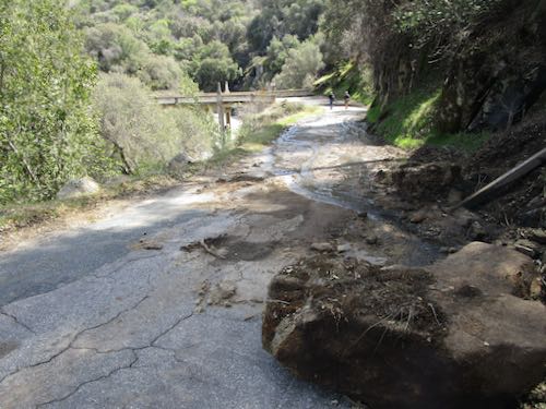
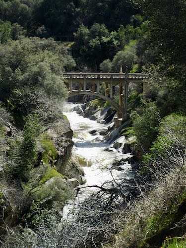
Happy Centennial, Oak Grove Bridge!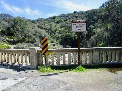
Looking upstream.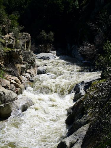
Looking downstream.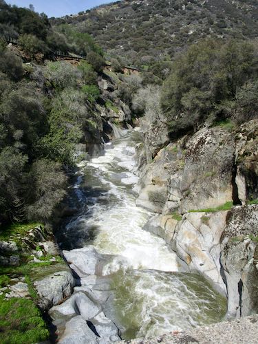
Just looking.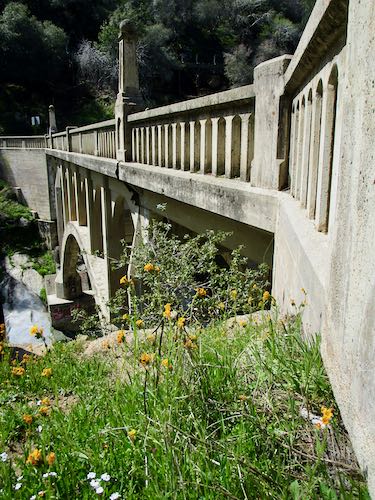
And looking.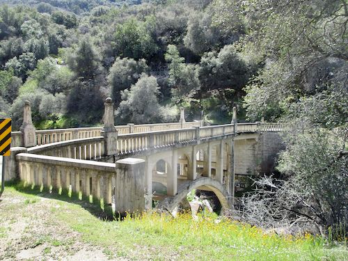
Time to turn around and head back to the pick-em-up truck.
Whoa. Is this a new disaster waiting to happen to the flume just below the bridge? Or are we seeing with new eyes, filtered for impending doom?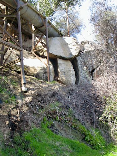
Here’s the abandoned Bear Canyon.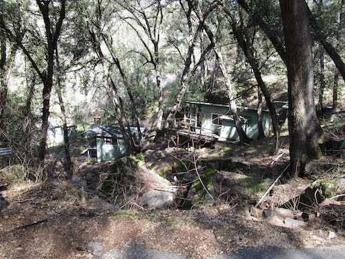
Climbing up to the flume just above Skyhook.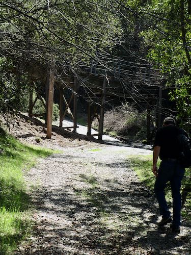
I really like walking the flume. Not supposed to do it.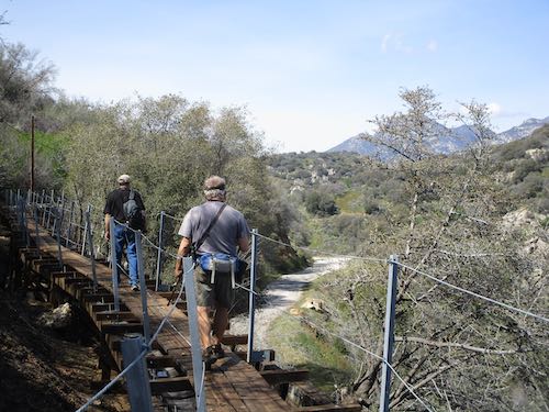
Our friend told us that the flume had blown apart or been smashed by a tree, so he had to do some scrambling and crawling. We got to this yellow tape, and climbed down the steps to the access road.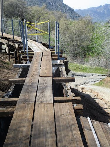
This is the access road onto the flume, opposite the very wide spot in the road below the bridge.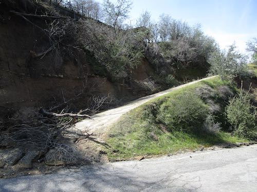
We walked back without incident, happy to be alive, thankful for rain, thankful to be able to walk 5 miles, thankful for springtime, thankful for friendship, just thankful.
And looking forward to seeing repairs by the Tulare County Roads Department. But I bet the people at Skyhook and those on above are looking forward to that road work even more than we are.
Thanks for coming with me on this tour. Batten the hatches, because there is another storm coming our way tomorrow.
Finishing a Plein Air Drawing
If you receive these posts in email and the pictures in the post don’t show for you, tap here janabotkin.net. It will take you to the blog on the internet.
Plein air means “on location”. Last summer I sat by the stream in Mineral King with a set of 12 colored pencils to see if I could complete a drawing on location.
Not a chance.
My friend Carrie Lewis posted the project on her blog, and recently someone asked if I would complete the drawing.
Since nothing is pressing right now, I decided to finish the drawing in the studio, but this time using the entire set of 120 colored pencils (Polychromos by Faber Castell)
I’ll just show you the photo, then all seven progressive scans, minus any jibber jabber. (But you can ask me questions in the comments, if you want to know anything specific about the process.)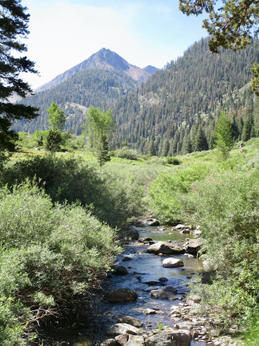
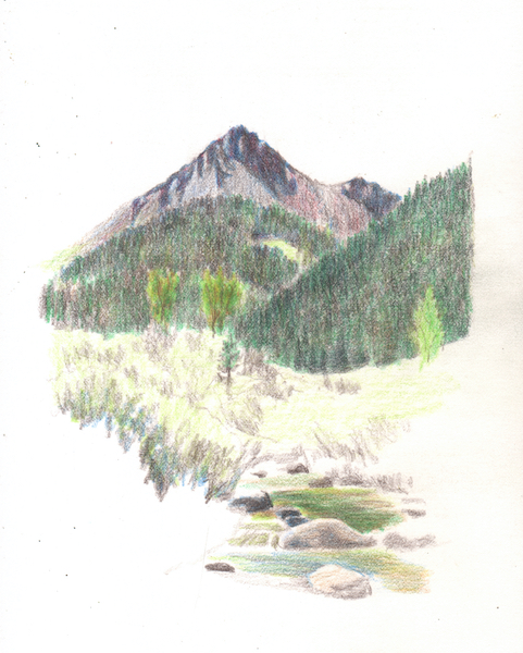
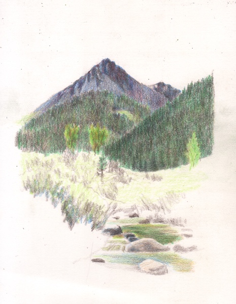
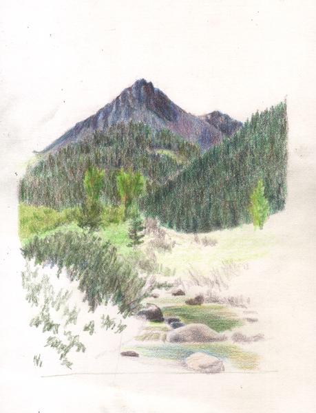
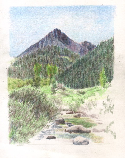
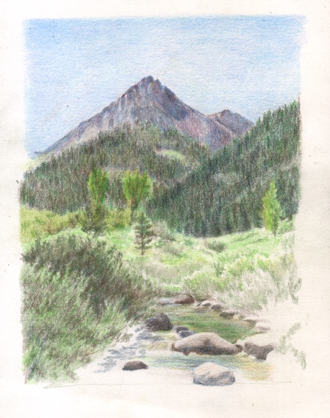
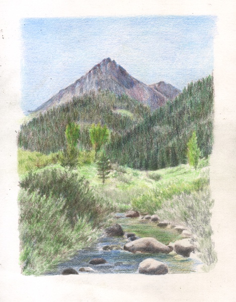
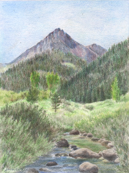
I am finished and the drawing is done. (Did you know that people aren’t supposed to be “done”?)
This is Vandever, the right half of Farewell Gap in Mineral King, as seen by the Honeymoon Cabin from the gnarly juniper.
Make me an offer! The highest bidder (if not too insulting) before March 31 will be considered. The unframed drawing is approximately 6×8″.
Chasing the Water on the Mineral King Road
Yesterday we turned around at Lookout Point after walking up the steepest section of the Mineral King Road, and headed back downhill.
Trail Guy, formerly known as Road Guy, explained that the old road above sloughed off and caused the disturbance that stopped our forward progress. This spot is ABOVE the gate and BELOW Lookout Point.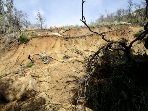
While he was puttering in the water and mud, I photographed these bay leaves. Too bad we can’t do scratch-and-sniff here.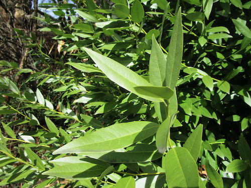
This weird boulder with its odd indentations is just below where we stopped driving. AGAIN: Above the gate and below Lookout.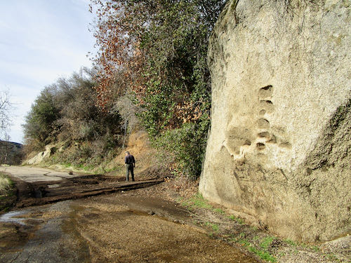
I walked down to White Rock, formerly known as Bird Poop Rock, which I explained at the beginning of this post.
Still ABOVE the gate and BELOW Lookout.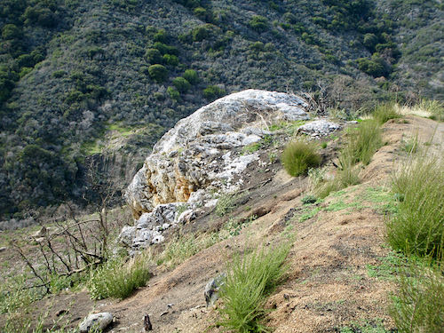
We encountered some folks along the way back, and while the dudes were shooting the breeze, I photographed this tree with peculiar bark clusters. (I have no idea. . .)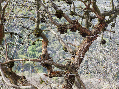
Ahead is a typical slump of a saturated bank, and beyond that are “the potholes”. This is BELOW the gate.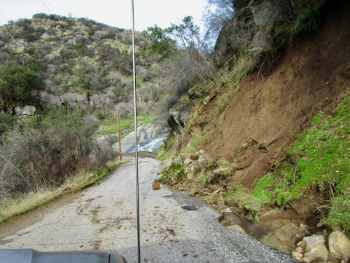
This is Squirrel Creek, AKA “The Potholes” in this location; it has big holes in the slippery rock face, normally visible and very enticing to folks driving down the hill. Fantastic water flow!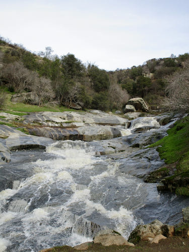
This section of road could be a bit of a problem for a HumVee or other wide vehicle. The county road department certainly has its work cut out for next few weeks (months?). This is BELOW the potholes.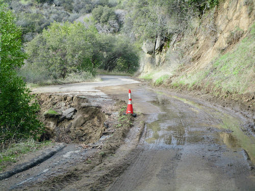 Here is another mess. Also below the potholes.
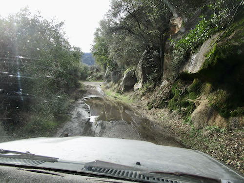
Look at what is happening along the gutter side of the road. I wanted to get out and play in the water, but we’d been gone long enough.
All the rest of these photos are below the potholes above the Oak Grove Bridge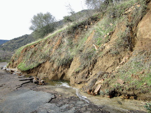
These folks will have some difficulty accessing their driveway for awhile. It isn’t a primary residence, the owners live far away, and I doubt if they will be too troubled or even know about it. “Whose drive this is, I think I know; his house is in the city though. He will not see us stopping here to watch his drive slide down the road.” (With apologies to Robert Frost)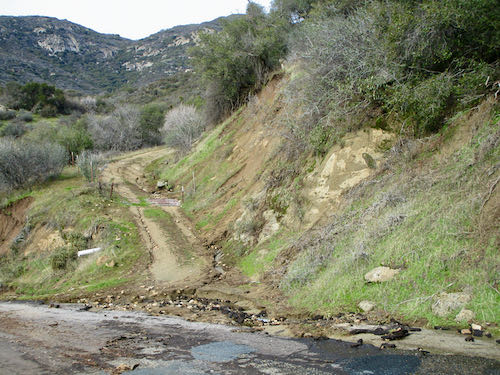
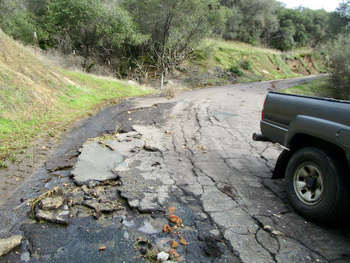
What is going on here? That plant is shooting up out of the pavement. And so much for last summer’s pothole patching efforts.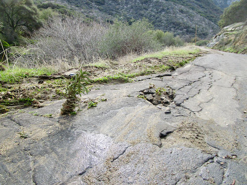
Messy, messy, messy.
Let’s conclude this weird little road trip with a look at my favorite bridge. It has been quite a few years since I have been able to see the water because of all the growth obstructing the view. 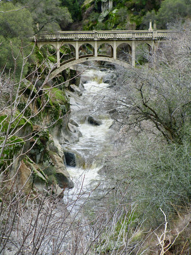
Thank you for joining us on this tour. Maybe next week I’ll get some work done and show it to you.
FOR CLARIFICATION: WE DID THIS LITTLE ROAD TRIP THE DAY BEFORE THE PARK ISSUED THEIR ROAD CLOSED DECREE.
One of the Mineral King webcams is working again: mkwebcam.
Making Three Improvements
Improvements
I brought home the paintings from Silver City that didn’t sell over the summer. My good friend helped me evaluate them honestly. I need the opinions of honest good friends, regular people rather than Educated Artist Type people, because regular people are my customers.
First:
Remember this?
I redid it like this:
Immediately someone said, “I want that!” However, I know her pretty well, and she is a talker and a dreamer. It ain’t a sale until money exchanges hands, and no money exchanged hands. So, I added a flag. 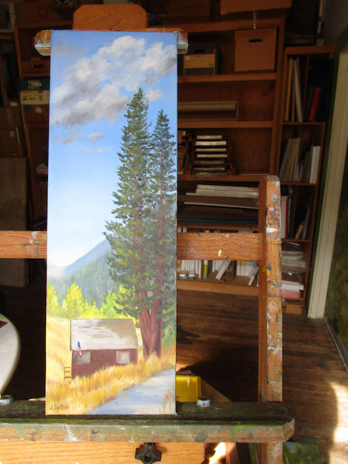
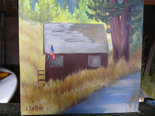
I’m certain that was the missing element.
Second: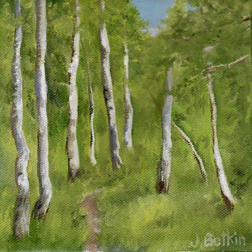
Why didn’t this sweet little 6×6″ of aspens along the Nature Trail sell?
Because it didn’t have wildflowers!! (After this photo, I repaired the big red blob and changed my signature back to white).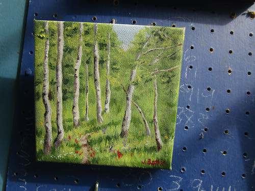
Three:
Why do I still have this little painting of alpenglow on Vandever?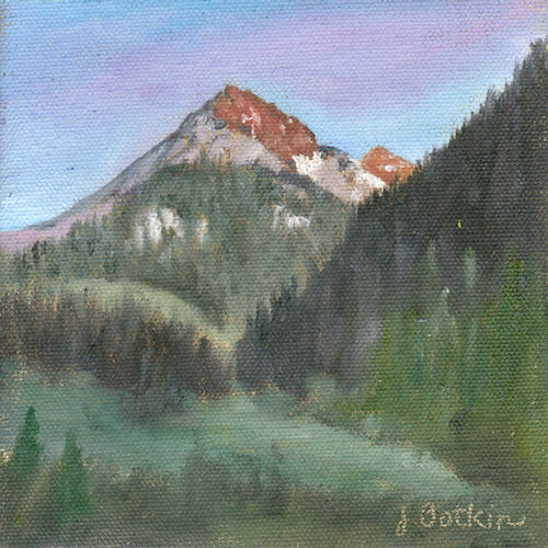
Because it wants brighter colors and more detail, of course.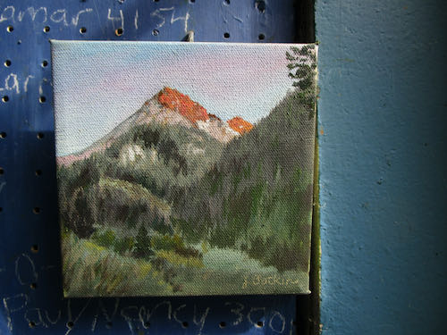
The business of art requires honesty, realistic looks at sales and what customers want.
P.S. They’ll look better when scanned, and even better in real life.
A Peek at (closed) Mineral King
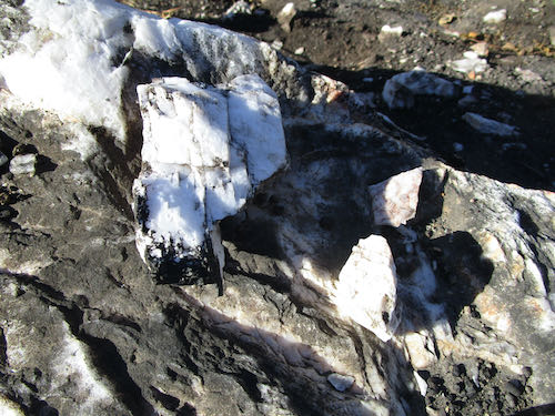
We took a day trip to Mineral King. Because the road is closed and the gates were locked, it was the perfect time to pull over next to Bird Poop Rock and inspect it. Since last year’s fire, it is very visible, and it is apparent that it is not bird poop, but a large erratic boulder of white rock (quartz? I don’t know) with lots of dirt and soot and who-knows-what staining the white. It is also broken up and has many pieces scattered along the bank. I slammed a small piece to the ground to see if it is white throughout, and sure enough, it is.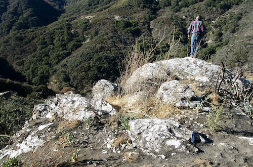
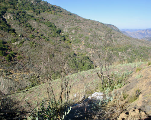
We were fairly busy, retrieving paintings from the Silver City Store, photographing a cabin that I will be drawing soon, and didn’t do any hiking*. The colors were faded, we still saw the small plume of smoke across the canyon on the way up (above Lookout Point), and it was in the mid 50s.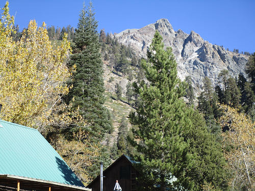
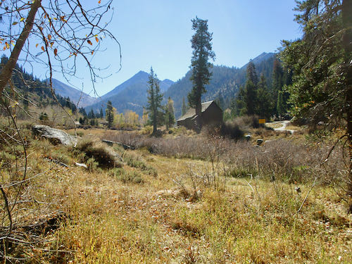
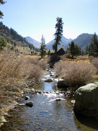
Cabin closed. Shutters up. End of season.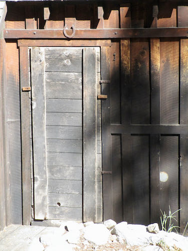
BUT THE JUNIPER IN THE PARKING LOT HAS BEEN SPARED!! Only the dead red fir behind it was removed. (It was marked to be removed, and if you scroll down a bit in this post, you can read about it.)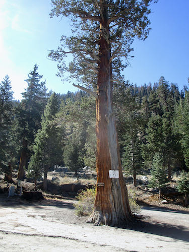
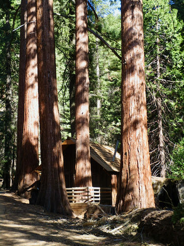
Hiking buddy and I walked down the road a ways from Atwell Mill.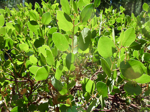
This is a mystery to me. These 2 peaks appear almost touching from Silver City. Someone has called them Hengst Peak; someone else told me they are Mosquito Peak. “They” is actually two separate peaks, and perhaps one is Hengst and the other is Mosquito. Anyone know??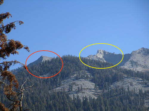
Then the Husbands caught up to us in the big pick-’em-up truck, and we headed back down the hill.
*The 2023 calendar Mineral King HIKES” is now sold out.
Closing the Cabin in Mineral King
The privilege of having a cabin comes with missing home often in order to truly enjoy the cabin. After spending 4-1/2 months living in 2 places, it is a bit of a relief to close the cabin. This year we are so thankful to have had autumn in Mineral King, and it is sad to leave, but also good to be leaving on our terms rather than the terms of a wildfire.
Driving up the hill, we spotted a plume of smoke across the canyon. This is how last year’s wildfire began, so we didn’t like seeing this.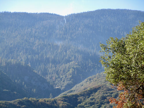
Atwell Mill Campground was closed, but there was a government rig there, so we stopped to make sure someone was aware of the fire.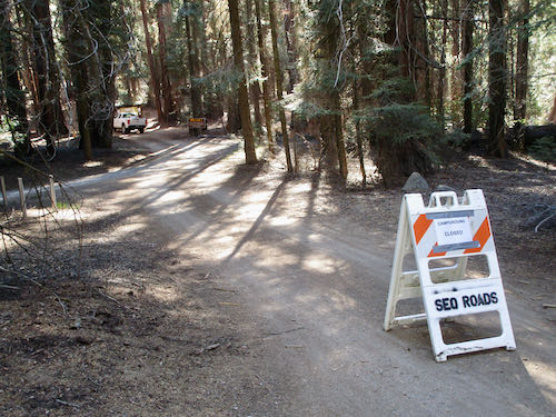
While Trail Guy was talking to Campground Guy, I amused myself by taking a photo of some strange markings on the road. It has to do with Federal Highways and their plan to upgrade the Mineral King Road. The markings look as if they were made by a seventh grade girl, and I have my doubts as to whether road improvements will be made in the next decade, based on clues such as seeing only about 6 potholes get patched this summer (actually not until early October) while the number and size of potholes increased steadily.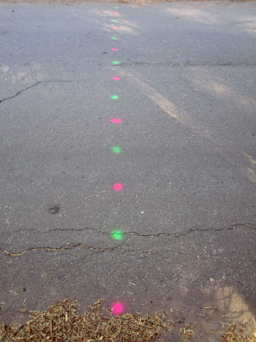
Enough road blather. Time to get up the hill and see the fall colors.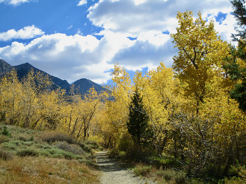
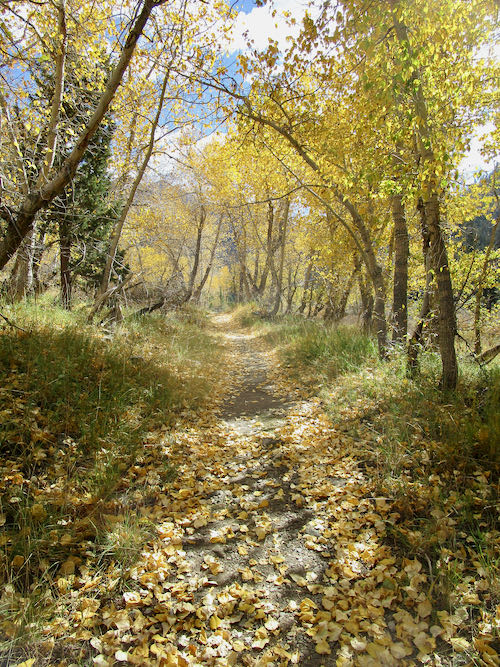
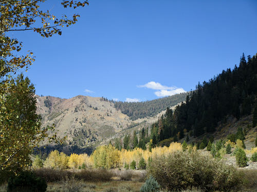
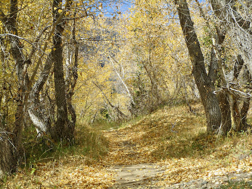
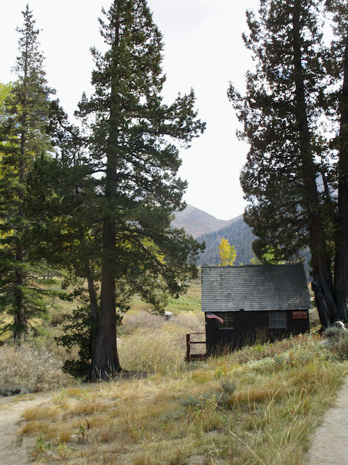
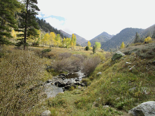
The weather is still good, the colors weren’t finished on the cottonwoods, aspens, willows, and other unknown foliage, but the daylight hours are getting quite short, and we are ready to stop living a bungee lifestyle for awhile. (Up and down the hill)
The Honeymoon Cabin (a mini museum), the ranger station, and the two campgrounds are closed now. The road officially closes on Wednesday, October 26. The plume of smoke across the canyon was dealt with swiftly.
Mineral King is one of my main sources of inspiration; in non-Artspeak, this means I draw and paint Mineral King possibly more than any other subject. Thus, I will continue reporting to you on this important topic whenever there are items that might interest you.
Nearing the End of the Season
This will be a long post.
The end of the season in Mineral King is approaching quickly. We had a weekend of preliminary closing tasks, interspersed with walks to appreciate the clear air and fall colors.
Hanging around
First, we closed a neighboring cabin and had our usual debate about which water bottles might freeze, split, and leak during spring thaw. We ended up putting several in a washbasin inside so we can finally learn and stop wondering.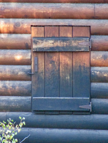
Then I split some kindling, after which I split the piece of wood I was using as a chopping block booster. However, the real chopping block split in the process. 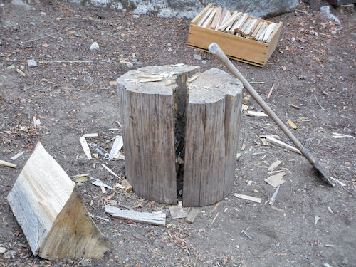
Trail Guy came to the rescue with another chopping block, which I had to try.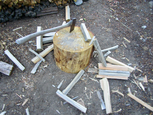
Heading out
I know, you came here for fall colors, and instead, you read the mundane details of cabin life. We headed out the next morning to see the sights, and ran into people we know over and over, so got a very late start.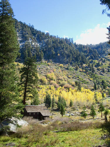
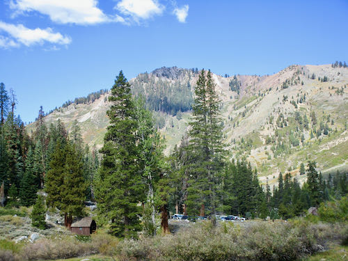
We were finally on the trail toward Aspen Flat when we encountered 3 women, 2 that we know. One of them was wearing a pack on her back and one on her front. Oh-oh, someone needed help. Trail Guy stepped up to the task, and we all turned back. The idea was to be out and about, not that we had an important destination.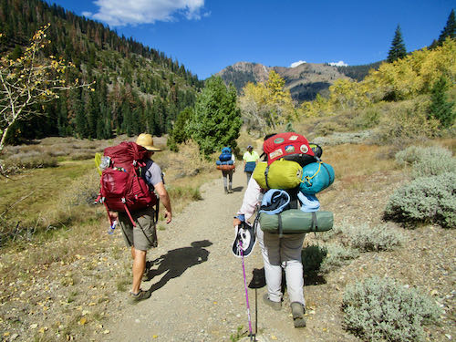
Changing directions
Next, we headed down the road and up the Nature Trail, just like the previous weekend.
Steak, anyone? This rock is along the road, one I noticed a few years ago and then couldn’t find until recently. What a thrilling discovery. (Yes, I know, easily thrilled here.)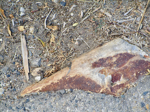
We had a friend with plans to climb Sawtooth that morning, so Trail Guy and The Farmer kept pulling out their binoculars.
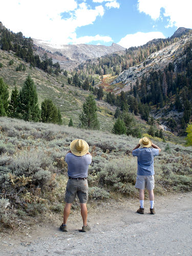
We trudged onward, with Hiking Buddy and I commenting that we were fine with just a walk rather than a hike. The colors are decent, but there have been much brighter falls. It’s the contrast to two autumns with smoke and fire that make this year seem spectacular.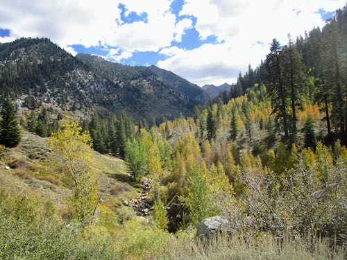
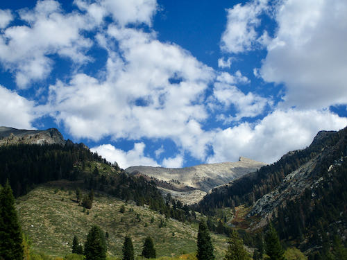
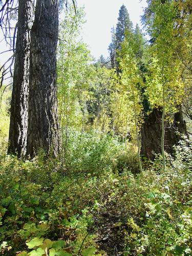 Where is that Sawtooth Soldier?
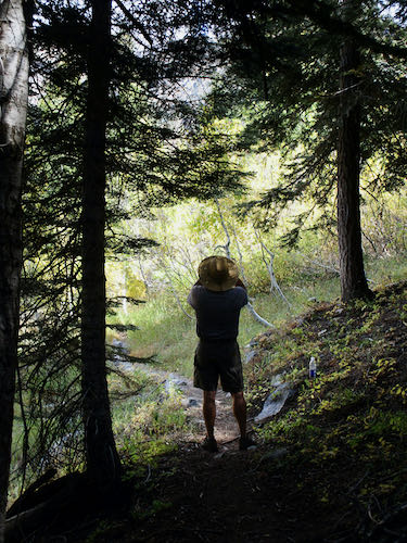
(Sharon, this shot of Iron Falls is for you.)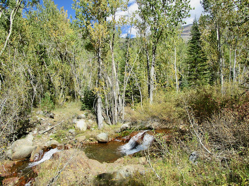
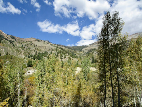
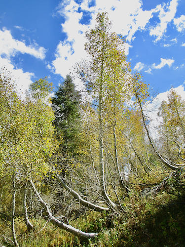
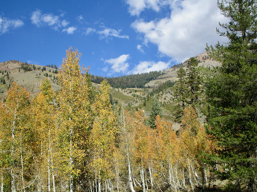
And another direction
This is the view next to the Honeymoon Cabin.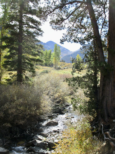
The Spring Creek bridge has been removed for the season.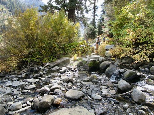
This is the view up toward Aspen Flat. The brightest trees on the left are the section I call The Yellow Tunnel. The more distant trees on the right are not quite yet yellow: that’s what we call Aspen Flat. We didn’t make it there. Maybe next week.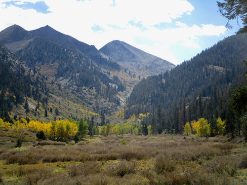
Even heading down the road was nice because it wasn’t in the 100s or even the 90s for much of the drive. This is the final view of Sawtooth (very distant – just squint at this photo) on a day with clear air.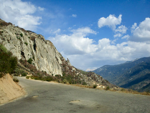
P.S. About 6 potholes got patched on the road. That leaves about 600 more.
More Fall in Mineral King
It was clear by the colors that fall has arrived in Mineral King. We missed fall the past two years because of fires, so this year we are soaking it in.
This is more of our walk down the road and back up the Nature Trail last Saturday.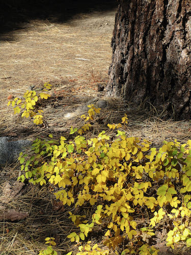
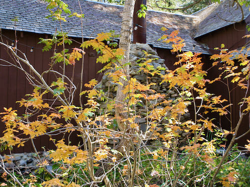
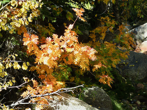
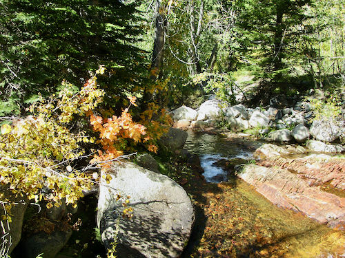
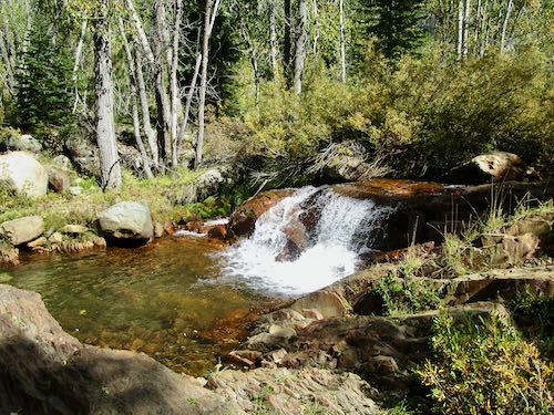
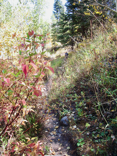
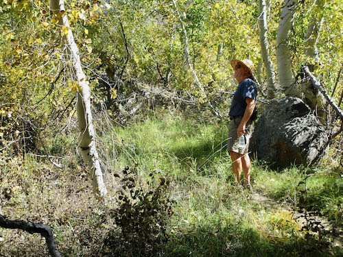
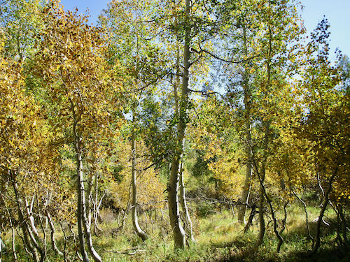
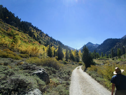
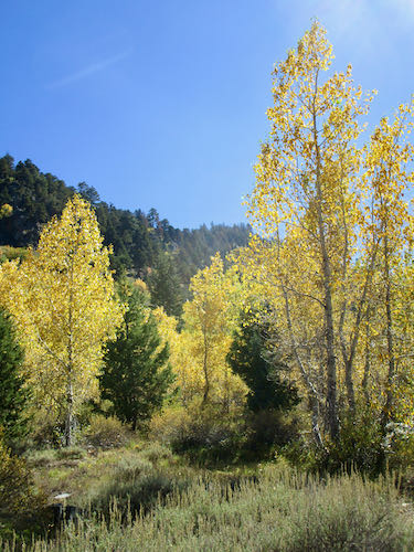
The next day we took a walk up the valley to Crystal Creek, where we took in more of the bright colors of fall, a real gift after the smoke of the past two falls.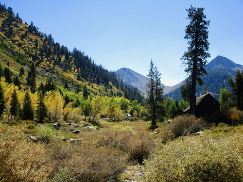
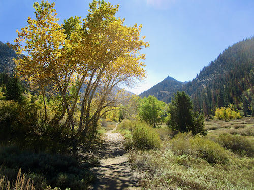
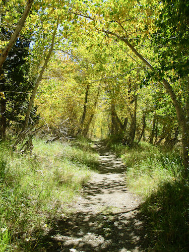
The Sierra Gentian at Crystal Creek from last week were now fully opened.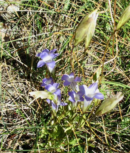
But that looks a bit too summery for a post about fall, so let’s conclude with this bright little leaf, whose name I do not know. (Want to name him? How about Rufus?)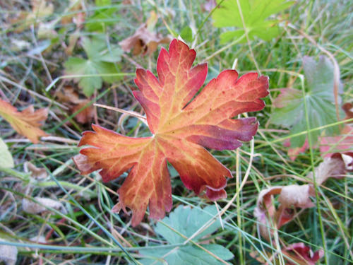
Beginning of Fall in Mineral King
Since I am currently working on a project that is not ready to be publicized, this week will have two days of Mineral King.
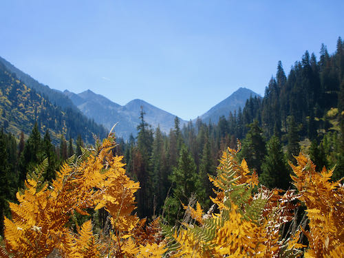
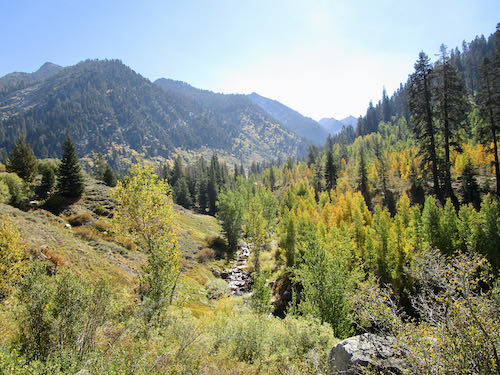
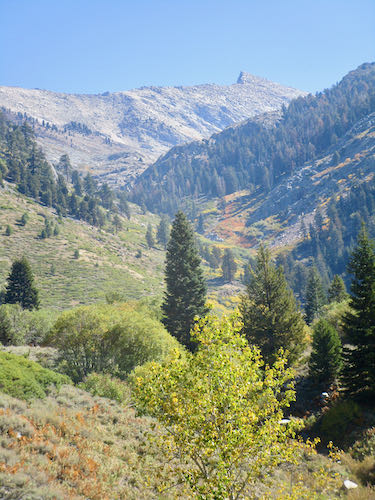
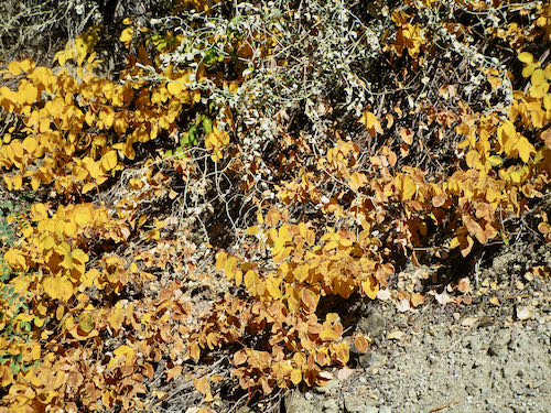
Last weekend it was clear that fall has arrived. It didn’t feel like fall, but the colors were evidence enough.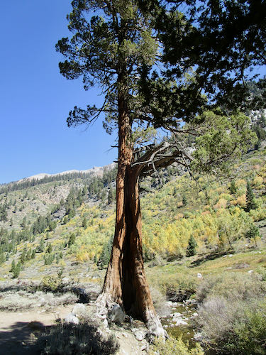
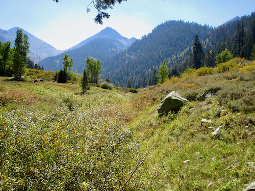
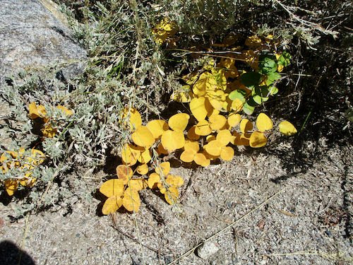
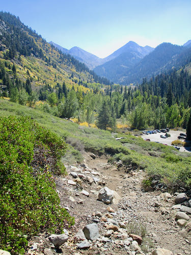
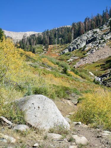
A friend had left his sweatshirt along the trail to Timber Gap, so we headed up to see if it was still there. I only made it a little past the junction before giving up. Trail Guy went to the place where the sweatshirt had been, looked carefully all around, and finally concluded that someone new is now wearing a gray sweatshirt with the words “Grove City College”. (If you know who, please let me know!)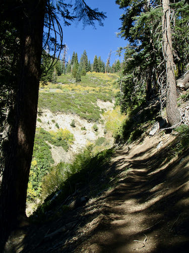
The next day we walked down the road and up the Nature Trail to enjoy the colors. These photos are what we saw while heading down the road.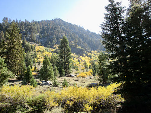
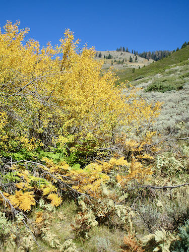
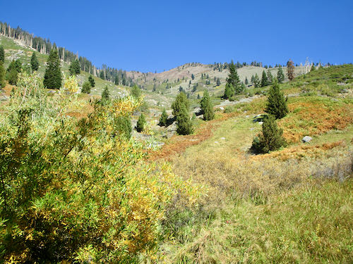
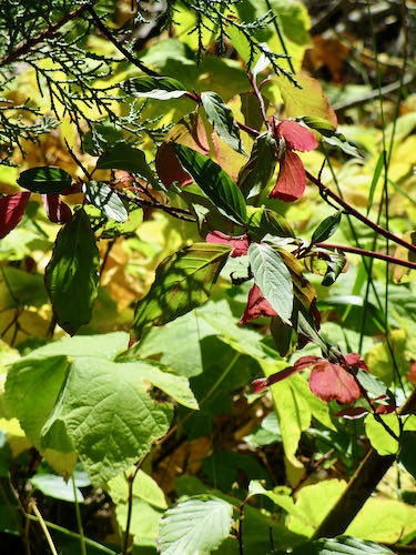
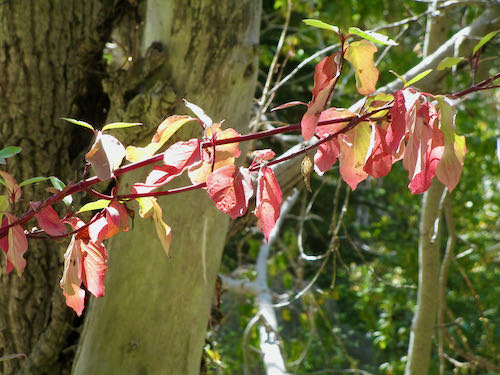
And I’ll show you the rest tomorrow!
