Repainting Mineral King, Day Eight

It wasn’t hot Monday! I thought I’d be able to paint on the Mineral King mural in Exeter (please excuse the redundancy – it is for the search engines) until around 5 p.m., but no way because I am a middle-aged wuss who ran out of gas.

A pleasant day with lots of interesting folks stopping by. I’ll put the list at the end.

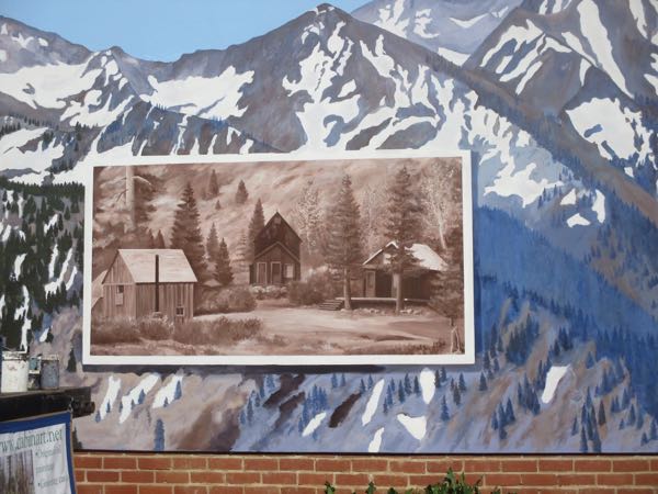
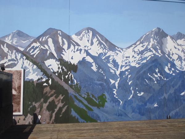
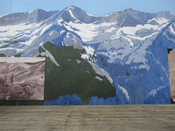
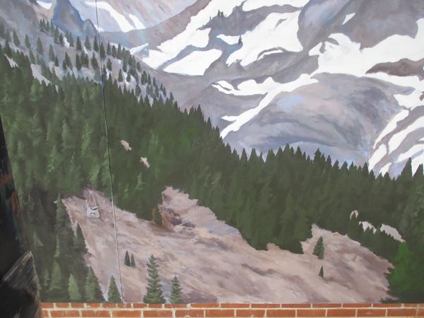
The day’s work began with detailing the area below Farewell Gap, while standing on the ground. This is what I consider to be the focal point of the mural, but with something this wide, there are many focal points. It’s because this area is closest to the valley floor of Mineral King, even though the mural isn’t tall enough to include the valley floor.
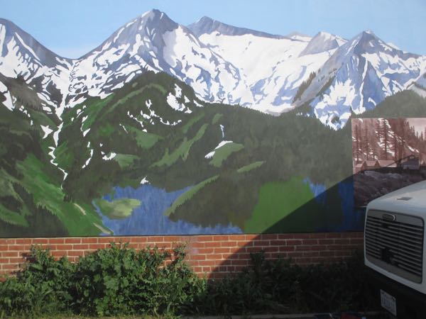
This is how it looked after 1-1/2 hours of painting. Felt quick, but needed more detailing. Plus, there is still a blue space, which probably measures 2×4 feet. That would be a large painting by itself, but on this mural it is about the relative size of a postage stamp.
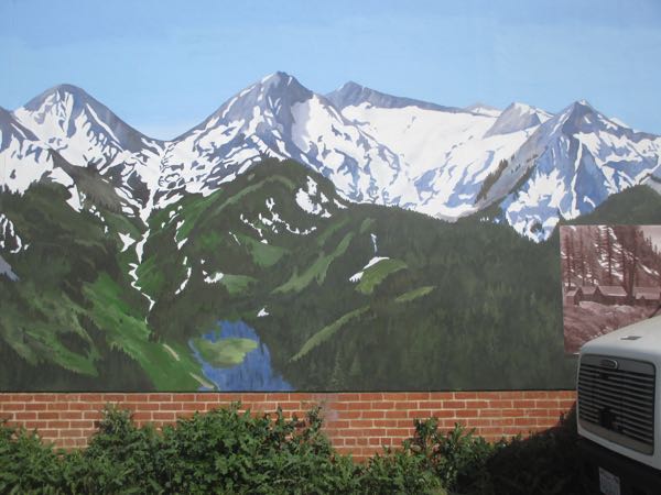
When I took a brief break at noon, this is how things looked. Lots of little dabs, softening edges, roughing up parts that looked too smooth, fiddling, “perfecting”, which is actually not possible with these huge brushes, at least as I define “perfect” (and “huge”).
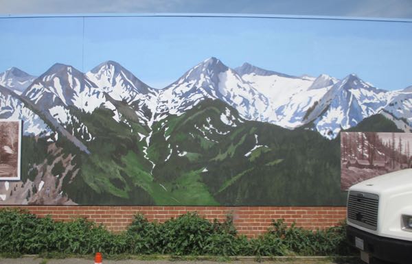
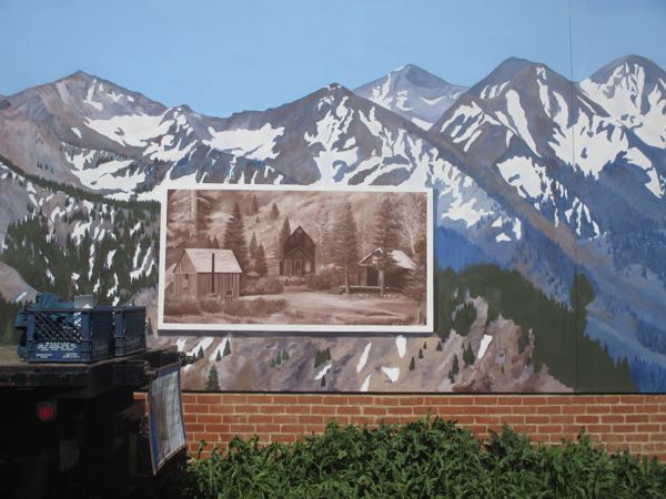
Next it was time to climb up on the bed of the truck, and move into Panel #4. (Wait! it is only Day Eight, and this is supposed to happen on Day 10 at the earliest!) Some of it is too high to reach from the step ladder while leaning across the void, now that I am not putting the rear tire on the curb. Gonna have to come up with a plan for this.
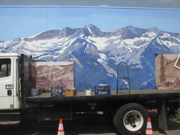
After 2 hours of painting, this is all I’ve done?? It is probably a lot of real estate, but in contrast to all that remains, it ain’t much. That’s okay, this is only day eight. There’s plenty of time. . .
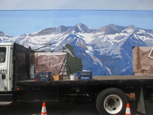
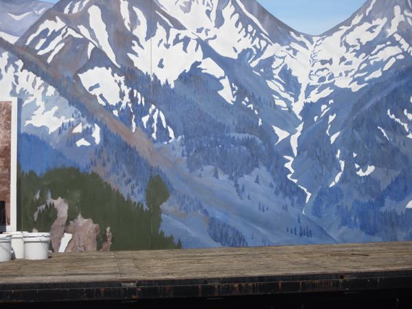
At quitting time, which was only around 3:30 (what a wuss), this is all that was covered. I also poured some paints from the buckets into the little containers, mixed some more gray and another green, and talked to a lot of people. (Didn’t want you to think that all I do is stand around and paint.)
Look at the day’s interactions:

  1. Anibar and Marcos from the City of Exeter checked in to say hello and exchange small talk about our weekends.
  2. Dan from the large and well-stocked antique store The Grove stopped by to introduce and be friendly.
  3. Mrs. Homeowner of the Three Rivers house that I painted last year came by. You can see her house here.
  4. A couple of guys walked past and commented that, “Some tough people lived in those houses!” They were referring to the cabins in the snapshots on the mural. I said that they were summer homes only and that I thought it took more toughness to deal with the summers down the hill than to live in cabins up the hill. 
  5. A woman came by from Tulare who said she’s about to move to Colorado. We had a nice conversation about what it is like to radically change locales. She’s lived in lots of places, and said the best thing she does is to first find a church. Then the other things work themselves out. I was severely traumatized by moving the 14 miles from Lemon Cove to Three Rivers 18 years ago, and can’t imagine changing states (although it is tempting at times, particularly tax time, election time, bad air time, Sequoia prescribed burning time. . . never mind.)
  6. A man and woman stopped by on their lunch breaks. He sells Kirby vacuums door-to-door and is an ex-Marine. Very engaging guy, probably does well. She works for Monrovia Nursery, grew up in So. Dakota, and hasn’t yet experienced summer here. Good luck!
  7. Tim and Elizabeth from Stanford University stopped by. He is now working in ag around here, she isn’t yet graduated, and they are very interested in Mineral King. Welcome, and I hope to see you this summer up the hill!
  8. Joanne, a mural tour guide stopped by, so I showed her the latest hidden item. 
  9. Anibar and Marcos stopped by again on their way back to the City yard for the day. Really nice guys, and very hard-working. I feel as if I have a pair of protectors near by, not that I need any.

No painting on Tuesday or Wednesday this week. If it isn’t raining, I’ll paint Thursday, Friday and Saturday.
 

Repainting Mineral King, Day Five

Happy Birthday, Laura!!

Repainting Mineral King, Day Five was a wuss-out day. The heat did me in. Sometimes I wonder if my Mom would have been climbing around on the back of a truck in the heat at age 57 . . . no, she was probably climbing a home-made scaffolding while hanging wallpaper. How about Grandma? Naw, she was probably hanging off the top rung of a ladder while painting her house.

The first thing I did was just walk past the mural and study it to figure out where to begin. I don’t want to have to move the truck more than necessary, so I figure out the most efficient way to tackle things. In the process, I realized that I have lost several of the hidden items in the mural, both in my memory (HEY! THERE’S A SECOND COFFEE POT??) and on the wall. This will need to be addressed in another blog post. 

I had to pull the truck forward in order to reach this blue section. “Pull it forward”? Makes it sound as if I was tugging on it with a rope.

There was very little visitation or delivery trucks today. 2 nice ladies from Arkansas were admiring the “murial” and together we tried to find the ax that I have misplaced. Did I hide an ax in 2009? I thought I did, but if so, it is hidden very very well indeed.

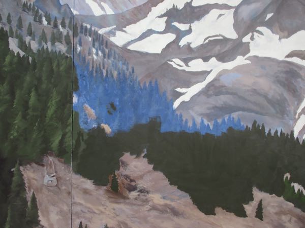
Hey. There’s a purse. 

That’s not a purse, you weirdo. That’s a fishing creel.

What’s a fishing creel?

It’s a wicker purse to put fish in when you catch them.

See? I told you it was a purse!

Hmm, I’m going to have to camouflage that item a bit more.

Next I worked on the ground beneath this snapshot, changing the blue-ish gray to dirt colors, redoing the shadow under the snapshot, and redoing the trees.

See? Better colors. It seems that I have eliminated a few trees. Must have been that missing ax at work.

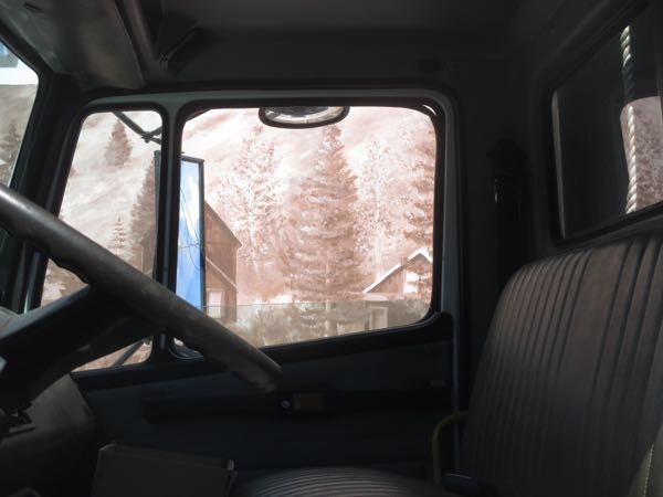
Time to move the truck again. It needed to go back until I could see the Pinkham cabin out the passenger window. Did this without a GPS too. . . aren’t you impressed with my navigational skills?

Oh my goodness, there’s Farewell Gap already! I’m almost finished with Panel #2 and it is only day #2 on this panel. Guess I am making up for the extra time it took to do all those rocks and grasses on Panel #1 even with Allen’s help.

Holy cow, it was so hot. I decided it was time for a break and looked at my watch – a minute before noon. I ran to the bathroom and cowered in there, then ran the hand dryer fan to make some extra noise to drown out the sound of the noon whistle. When I came out, there it went. Fortunately, both hands were free to clap over my ears. That thing originates from the fire station which is very close to the mural, and it is a powerful sound. 

Next, I got out my reference photos to figure out what is supposed to be where, mixed another dark green, finished Panel #2, crossed briefly into Panel #3 and gave up for the day. 

Day Six’s high temp is supposed to be 75 instead of today’s 86. I can do 75.

But where was Larry today? I was looking forward to his daily word of wisdom.


Water in Mineral King

What water in Mineral King? Isn’t it all snow right now?

I’m glad you asked (all interviewees either say that or “Good question” in response to most questions).

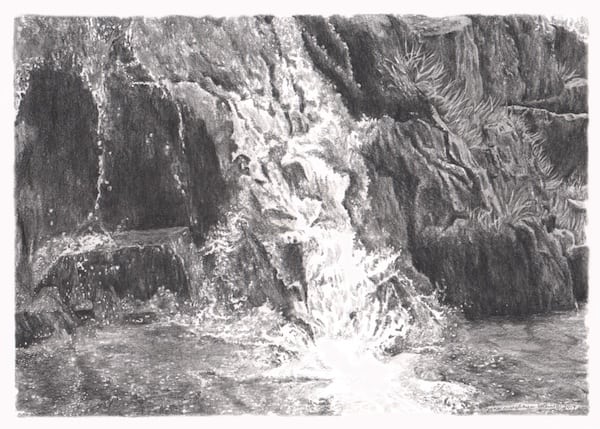
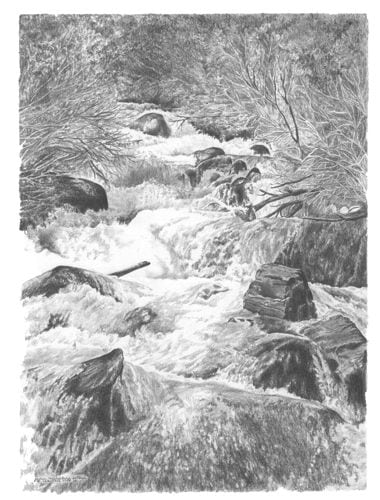
This is a pencil drawing of water in Mineral King, on Franklin Creek. I discovered a great name for it in my own imagination, without resorting to a contest. Here it is before my middle-aged-mush-brain erases it.

Every Drop, pencil on paper, 9×12″, unframed, $200

The part about this drawing that thrills me the most is that I was able to recognize it as Franklin Creek from the photo. (Trail Guy was also able to recognize it, and I confirmed it by going through my 24,000 photos on the computer and finding it in context.)

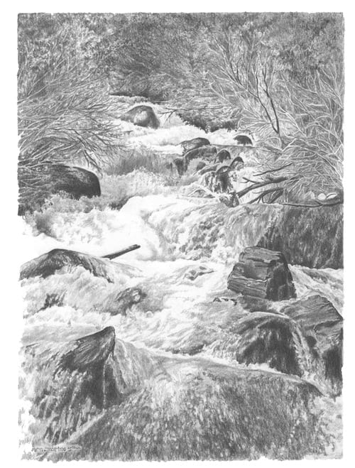
I drew another pencil piece of Spring Creek, also in Mineral King. It was the one that began this water project, and it took about 2 years to complete. The name is “Hard Water”, because I found it to be difficult. And because my friend and drawing student Rosemary was so taken with this drawing, I continued with water pictures.

Hard Water, pencil on archival paper, matted and framed to 15×19″, $399.95

(The price is because Rosemary and I got a little silly one day and decided this was a good compromise for the 99er and the 95er schools of pricing.)

Mineral King Road Messes

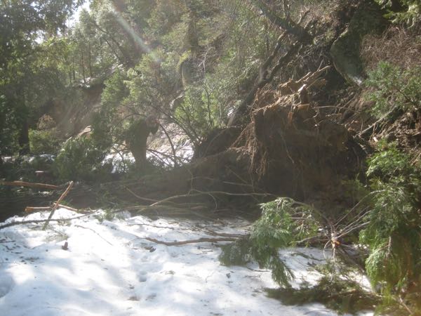
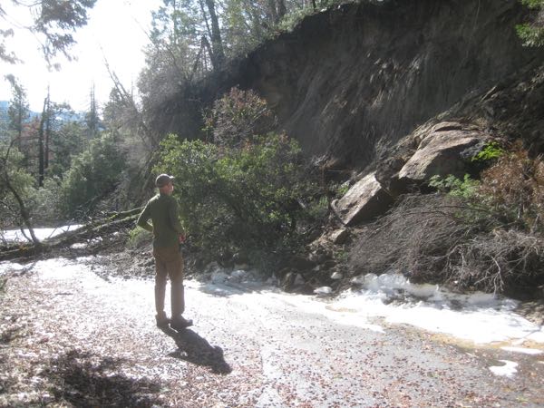
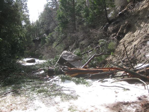
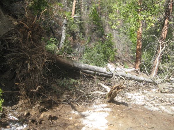
Last week Trail Guy and Retired Postman headed up the Mineral King Road. This was a couple of days after some very heavy rains.

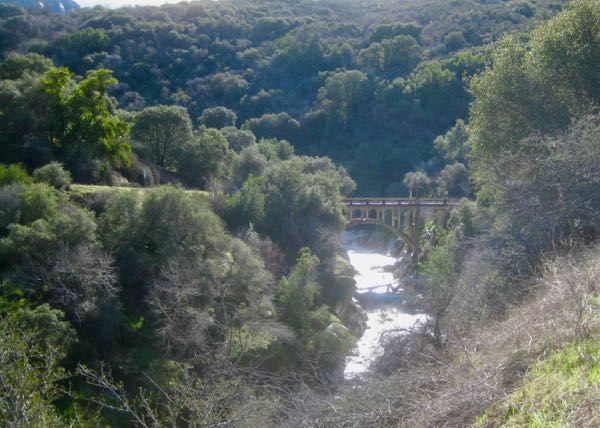
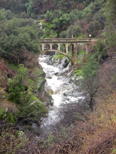
First stop? My favorite bridge, of course. (The Oak Grove Bridge). Retired Postman is very very tall, so he was able to take a photo above all the messy shrubs. This may be the first time I’ve ever seen the bridge’s shadow in the water beneath. I don’t think this would be a very nice painting – just a bunch of greenish textures with a tiny bit of architectural interest.I wasn’t with them, so I don’t know exactly how many messes there were on the road. I do know that the messes began around Slapjack, that they were able to walk in to Redwood Creek/Redwood Canyon/Aunt Tillie & Uncle Pete – whatever you call the twin Sequoia trees.
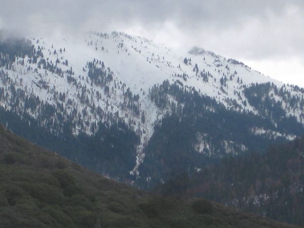
This next photo shows the ridge above High Bridge and how it has slid down the drainage. It will be interesting to see if it reached the road. It could be awhile before anyone gets that far up the road. . .

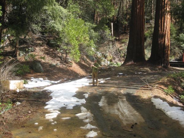
Say hello to Aunt Tillie & Uncle Pete (I am not making this up – some cabin folks told me that is what they call the 2 Sequoias at Redwood Canyon, and no, I can’t tell who is who or which is which.) Or skip them and say hello to Retired Postman.

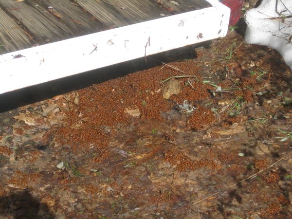
There were a mess of ladybugs at Redwood Canyon.

And there were multiple messes on the walk in.

Trail Guy reported in to the roads department in Sequoia, and they’ve already done some work. Is the road passable? Maybe. . . 


Trail Guy Blazes the Way to Mineral King

Before Trail Guy was Trail Guy, he was Road Guy in Sequoia National Park. One of his specialties was opening the Mineral King Road in the spring. 

This week someone from the Park asked if he’d help make the road passable for snow mobiles so people could get up there to do a snow survey. This is when they measure the depth of the snow and figure out the water content, some pretty helpful information.

He went again 2 days later because he wanted to check on the cabins, something they were unable to do on the first trip because there were so many downed trees to deal with.

I didn’t go along because while he is retired, I am not. I’ll just do my best to explain his photos, and if I get stuff wrong, he’ll correct me and I’ll fix it.

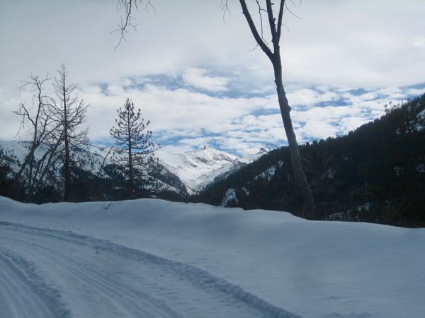
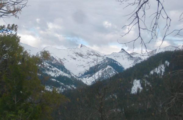
Sawtooth as it looked on the way in to Mineral King
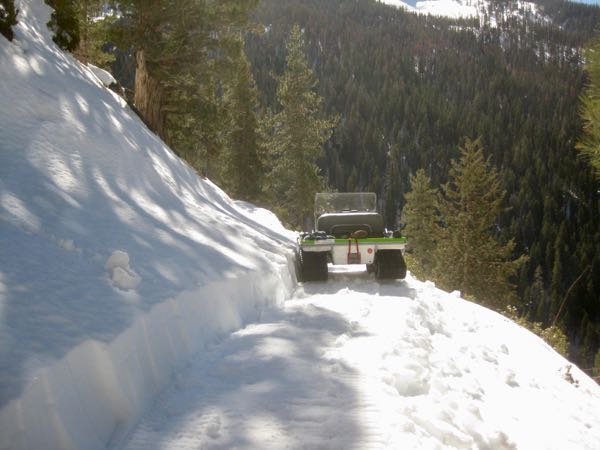
This is our Cushman Trackster on the most dangerous stretch of road, “The Bluffs”
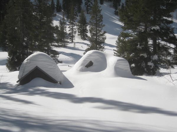
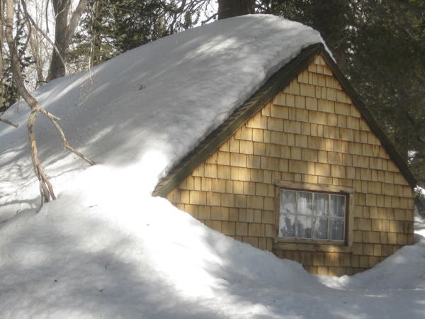
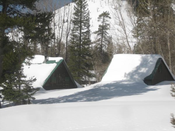
A cabin in Faculty Flat
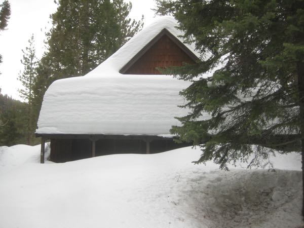
Another cabin in Faculty Flat, buried in snow
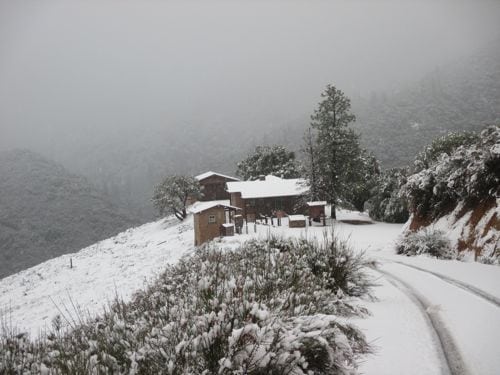
This might be the second most photographed cabin because it is so picturesque, perched above Cold Springs Campground.
View from the top of Endurance Grade (also sometimes called Coral Hill)
The Honeymoon Cabin with Little Florence (also known as West Florence) in the distance, which is the left side of Farewell Gap.
Classic view of the Crowley Cabin with Farewell Gap in the distance.
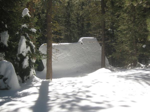
Cabins?? Yep, little ones.
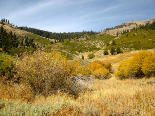
Cabin across the creek from us.
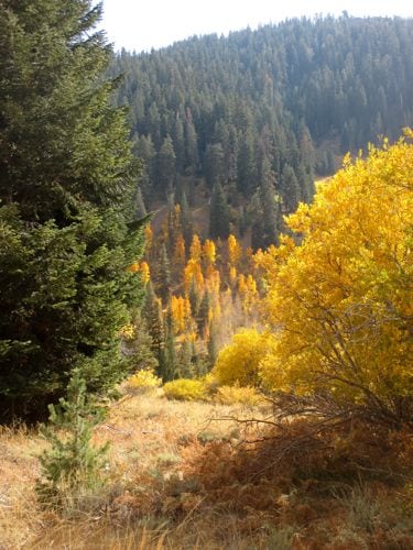
The cabin on the right in this photo was knocked off its pins by an avalanche a few years ago (Feels like 2, must be 5?)

Sawtooth in the afternoon

Trail Guy took many photos of cabins, and if I have people’s eddresses, I will send them. Didn’t want you all to get too chilly in the snow with 30 photos.
Field Trip up the Mineral King Road

One day while I was painting the Oak Grove Bridge, Trail Guy said he wanted to drive up the Mineral King Road and see how things looked. I put down my brushes and put on my boots.

The bridge was the first stop.
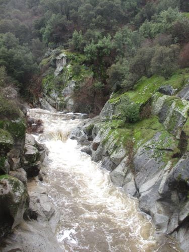
All that muddy water obscured the boulders and rock formations that I have been struggling to decipher in the photos.
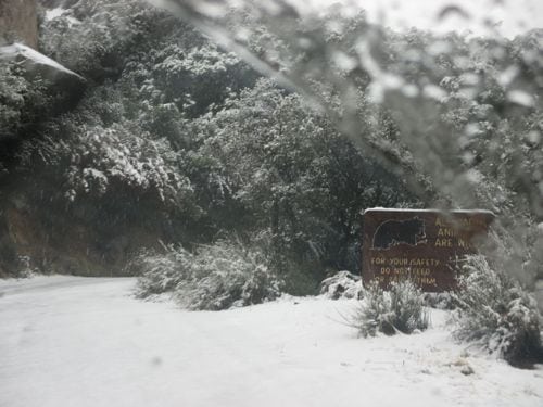
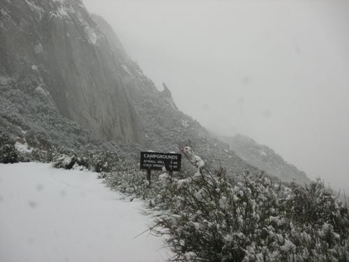
Through the windshield after the we reached the snow.
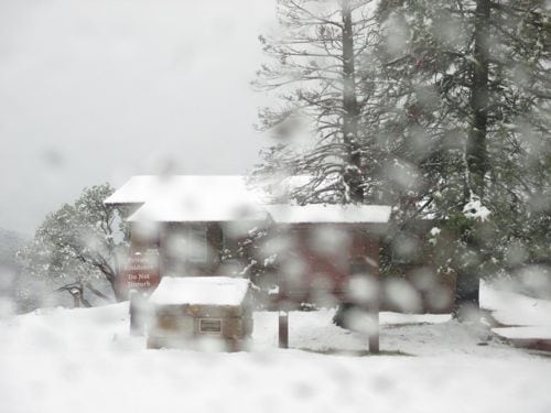
Lookout Point, through the windshield.
I got out of the truck to lock the hubs. Glad I wore those LLBean boots.
Lookout point after I locked those hubs.
Lookout Point after I locked those hubs.
We didn't make it very far. This is at the asphalt pile turnout. The snow was about 3" deep there.
We didn’t make it very far. This is at the asphalt pile turnout, maybe 10 miles from the bottom of the road. The snow was about 3″ deep there.
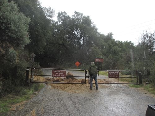
Trail Guy closed the lower gate. Bit of a slide there, but it is easy to drive around.
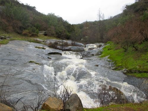
This is Squirrel Creek, near Lake Canyon, AKA Mitchell Ranch, AKA Sweet Ranch, AKA Way Station. It goes dry in many summers.


Because Jimmy Asked

Who is Jimmy? A friend of mine.

What did he ask? Something about William O. Clough and his memorial and Franklin Lake’s dam and the dams built on lakes by the Mt. Whitney Power Co. It wasn’t a specific question, more of a request for more information. He asked me, because Google sent him to my website (probably among several hundred thousand others).

Bill Clough was a colorful guy (an early Trail Guy, perhaps?) who had the job of closing the dams for the winter that Mt. Whitney Power Co. built on four lakes out of Mineral King. Or maybe he opened them. . . I don’t know how this works. (Yes, it still works, but might involve helicopters for transportation these days.)

One fall, Bill didn’t return. The following spring or summer, or maybe even a later spring or summer, someone found his boots near the little cabin he built about halfway between Mineral King and Franklin Lake. Did he live in the cabin? In the summer? 

So many questions. . . wish the guy had kept a journal, or a blog or something else helpful.

img_4944
The corner of his cabin still exists.
img_4946
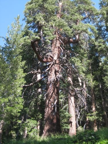
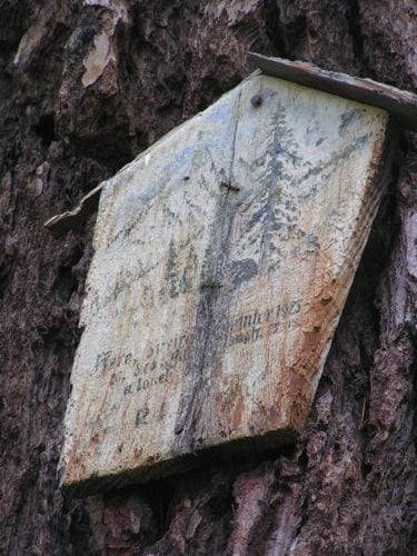
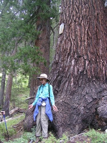
This giant red fir near his cabin ruins has a memorial plaque. Placed by whom? When?
Memorial plaque for Bill Clough
What does it say?
Bill Clough's plaque
Look how high up it is – it must have been placed many moons ago, when that place on the tree was reachable. (Hi Deendie!)

So many questions, so few answers. Here is a list of what I know:

  1. The dams out of Mineral King are on Franklin Lake (the lower larger lake), Crystal Lake (upper or lower? It’s been too long since I was there), upper Monarch Lake, and Eagle Lake (only one of those in Mineral King).
  2. The cave out of the South Fork (of the Kaweah River) Campground of Sequoia National Park is called “Clough’s Cave”. The cave has a gate, so forget about it.
  3. You can read more about Bill in Mineral King: The Story of Beulah by Louise A. Jackson 
  4. My second mural in Exeter called “Men + Mules + Water = Power” is of Franklin Lake as it looks now, with insets of related historic scenes.

Hope that helps, Jimmy, and thank you for asking so that I could put a Mineral King post up on a Friday in the middle of winter when the ideas are a little sparse.

NEWS FLASH: Bill Clough’s great-grand-niece just left my studio. Uncle Bill closed the dams for the winter. He closed the Franklin dam one fall, then returned to his cabin area, sat down and died. The following spring, my friend’s granddad went looking for him and found his boots and his beard. Uncle Bill was “eccentric”, had a very long beard, and sometimes he preached. (To whom? What? Always more questions around here. . .)

Save

Save

Final Fall Visit to Mineral King

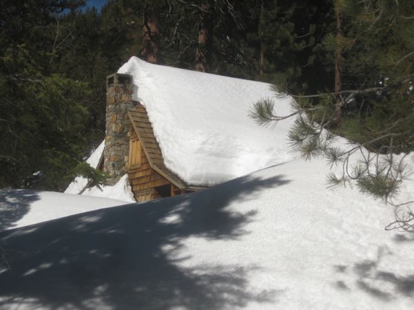
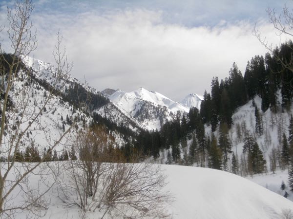
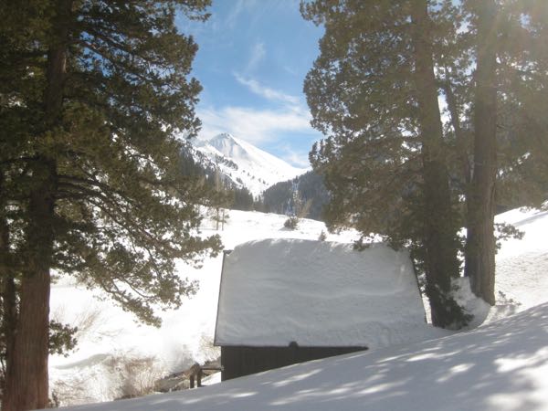
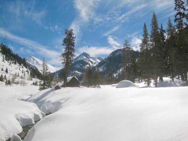
Yesterday morning at 8:30 a.m. Trail Guy was reading the weather, and together we faced the unpleasant reality that we might be closing our Mineral King cabin during a rain shower if we waited until the weekend. So, by a little after 9, we were in the Botmobile heading up the hill to git-‘er-dun.

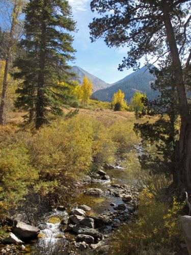
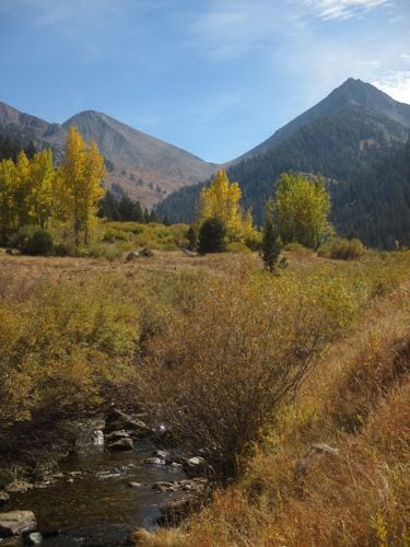
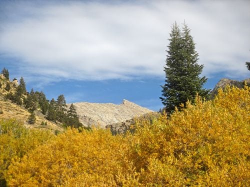
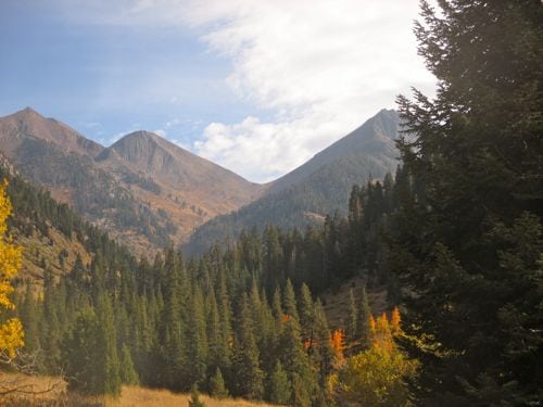
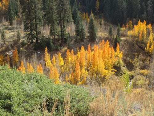
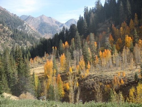
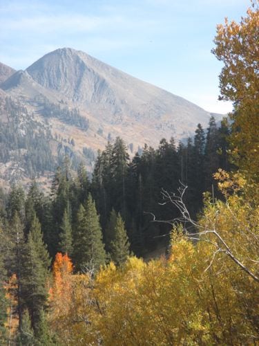
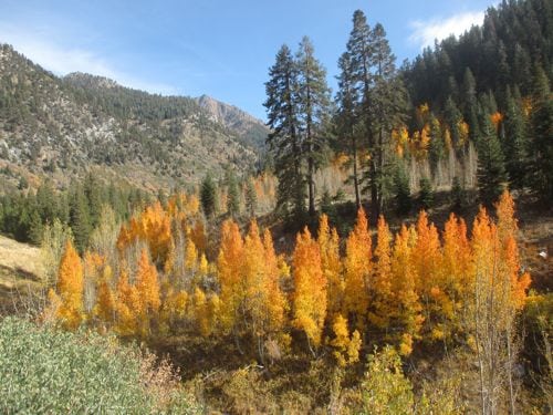
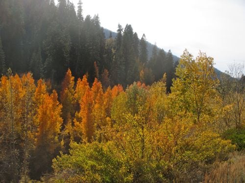
Rather than go on and on about what it is like to close the cabin for the season, let’s just all revel in the beauty that yesterday provided.

img_4577 img_4579 img_4583 img_4585 img_4586 img_4588 img_4589 img_4590 img_4592 img_4594 img_4596 img_4598 img_4600 img_4601 img_4603 img_4604 img_4609

Next week I begin a mural. I’ll show you step by step but may not be posting until the end of the day so you can see each day’s work.

Save

Save

Save

Mineral King From My Pencils

Why didn’t I choose to finish one of those other drawings?

I dunno. Sometimes I just don’t wanna. (Why doesn’t my boss fire me??)

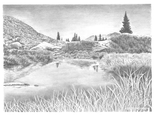
This picture grabbed my attention because it is in Mineral King (White Chief, at the very top end of the trail). It also was appealing because of the reeds and grasses in the foreground, and the reflective quality of the water. It fits the theme of Tulare County, although I doubt many people have actually been to this spot. There was no particular spot that called for color.

White Chief, Mineral King

Hard Water in Mineral King

This is Tulare County, pencil drawing, from Mineral King. It is Spring Creek. It could be anywhere. If I have this at a show and someone says, “Oh! Is that Yosemite?!”, then my answer will be, “If you would like it to be Yosemite, then it is Yosemite for you”.

Spring Creek, Mineral King

Let the record reflect that YES, DRAWING WATER IS HARD!! (Tee hee hee, perhaps the title of this piece should be “Hard Water”.)