Trail Guy Went to White Chief Again

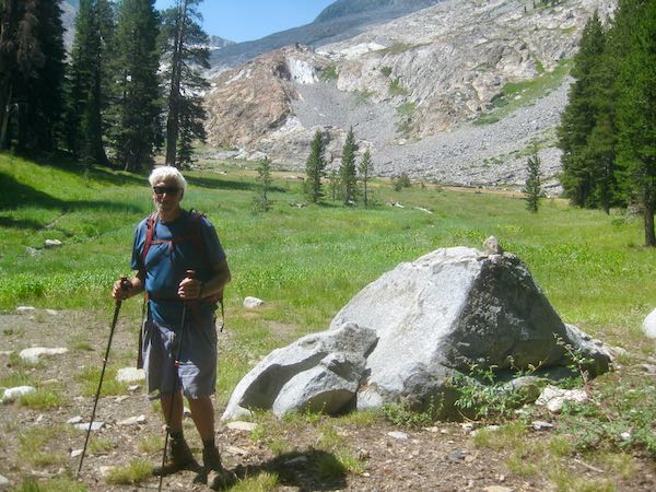
In late July on a non-smoky day, Trail Guy went to White Chief. He hasn’t hiked much this summer; it might be my fault because my feet won’t let me go. On the other hand, he might just be busy, always helping cabin neighbors. Whatever the reason, when he has a chance to hike, he chooses White Chief.

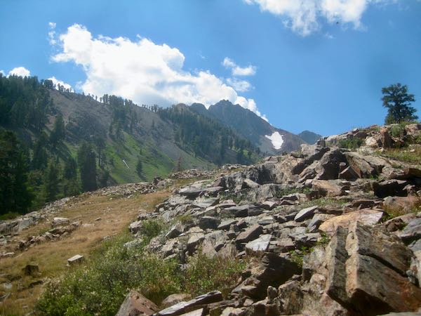
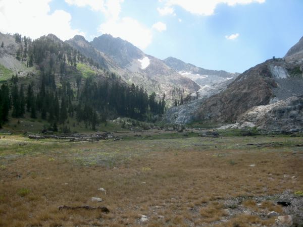
When the steep stuff ends, you break into this canyon. The patch of snow is called “Bearskin”, because when it is fuller, it resembles a bear skin. (Some folks call it “Bear Patch”).

Trail Guy met Mitch from Bellingham. They quickly learned that they are on opposite ends of the political spectrum but unlike most people these days, they had a civil discussion, listening to one another. Thank you, Mitch!

Trail Guy doesn’t stay on the trail; often, he is Off-Trail Guy.

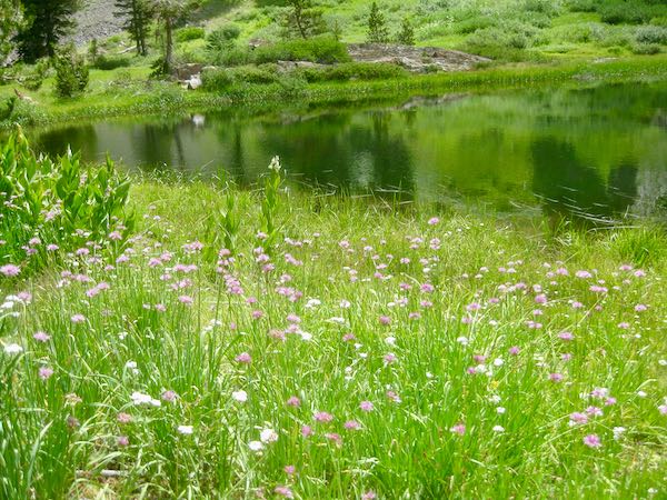
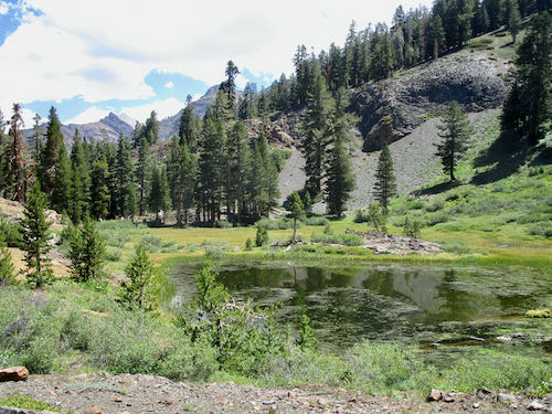
Being off trail leads to this pond, a favorite spot. NO, IT’S NOT WHITE CHIEF LAKE!

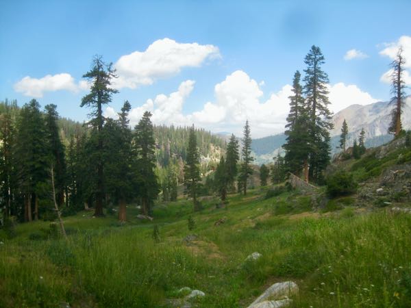
Timber Gap is visible in the distance.

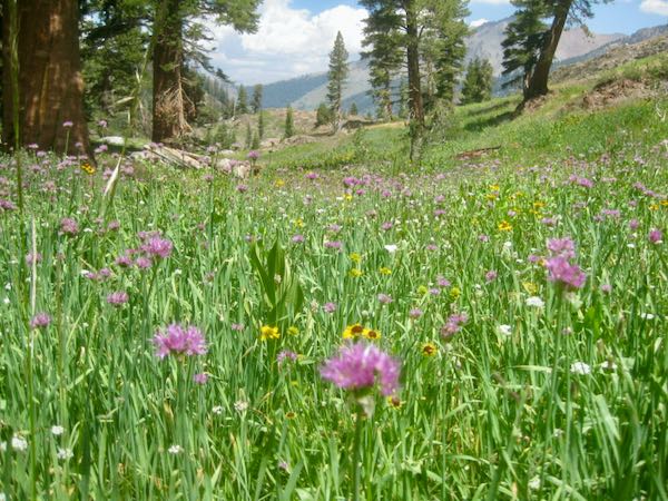
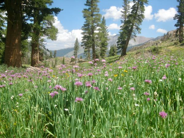
The swamp onions were thick.

I wasn’t there but he brought me his camera. (Maybe one day I will grow accustomed to numb/burning/tingling feet and return to White Chief. Shall we have a pity party?)

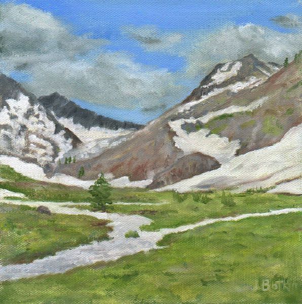
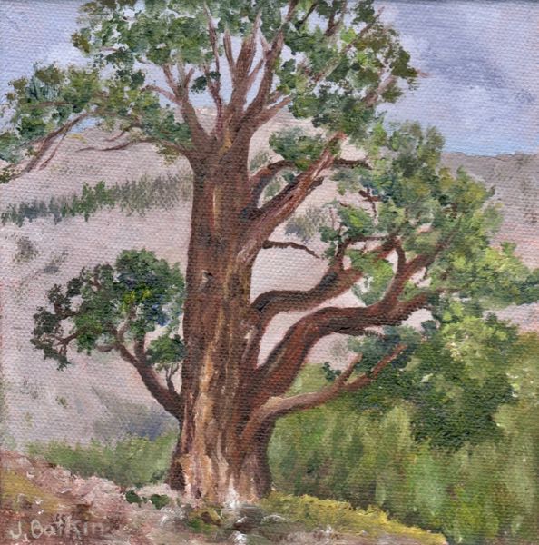
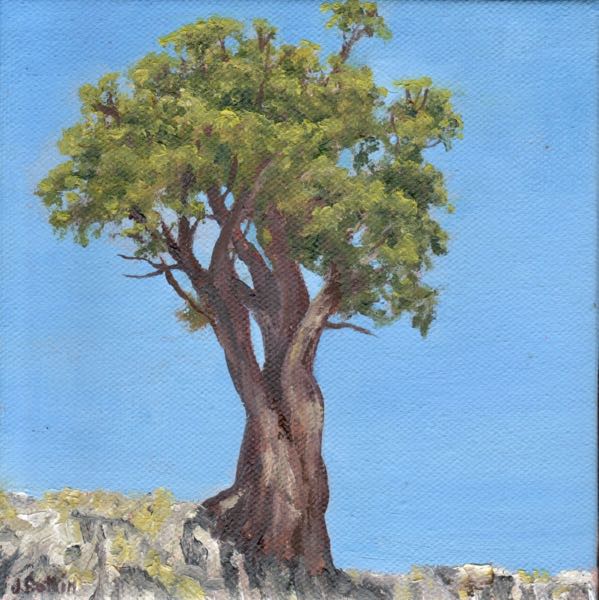
Because this is my blog, supposed to be about my art, here is my latest painting of White Chief. It is for sale at the Silver City Store, at Silver City Resort.

White Chief I, oil on wrapped canvas, 8×8″, $145 (plus sales tax if you live in California, plus shipping if you don’t.)

A Week of Mineral King, Chapter 6: White Chief

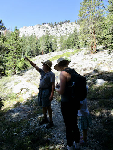
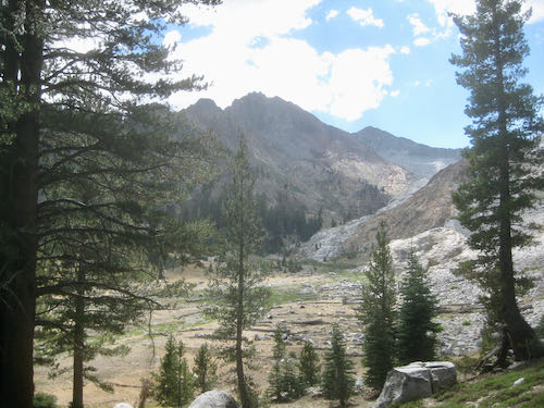
When our little group headed to Eagle Lake, Trail Guy stopped before the rocky section. He pointed out the route to White Chief, a hike, nay, a scramble that we took a few years ago. (I’d give you the link but I can’t find the blog post about it; this is to be expected after 14 years of blogging, a total of 3,443 posts.)

Suddenly, Trail Guy was gone. We knew he wasn’t going to Eagle Lake, but didn’t know he was going to White Chief, up and over the ridge that separates the two bowls.

Because I wasn’t huffing and puffing behind him with my camera, we only get this photo of White Chief from the top of the ridge. Or maybe halfway down. (I wasn’t there.)

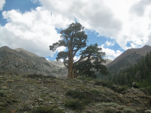
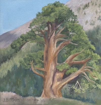
Here is everyone’s favorite juniper.

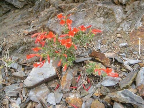
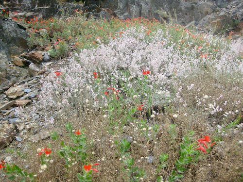
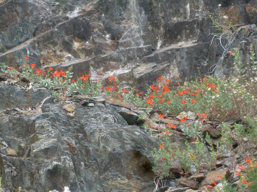
And, (perhaps it is my influence), here are several beautiful wildflower photos of a late season flower. I think it is fuchsia, in spite of being red rather than fuchsia colored.

Thus, we conclude one week plus one day of Mineral King posts. My 2023 calendar may follow this theme, but this is an idea that is just percolating, not fully formed. (THANK YOU, BARBARA L. FOR ANOTHER EXCELLENT IDEA!)

Hiking to Mineral King’s White Chief Canyon

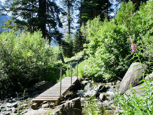
If you can’t see the photos, go here: cabinart.net/blogWhite Chief Canyon is the favorite hiking destination for both Trail Guy and me. This summer has been full of disruption, so I hadn’t made it there yet, while Trail Guy had gone several times. First point of interest is the Spring Creek bridge, with fireweed in bloom now.
That trail is STEEP, but you reach your destination in about 2 or 2-1/2 miles. (It is about 1 mile to this sign, and no one knows exactly which point is 1.8 miles from the sign.) In order to distract myself from the difficulty, I counted wildflower varieties. Before reaching the junction sign, I counted 29 different wildflowers.
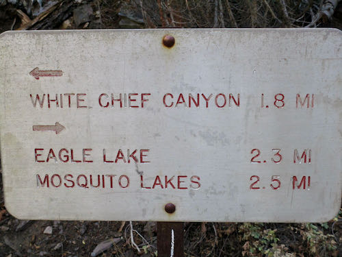
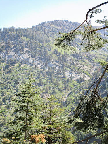
After the junction, Trail Guy insists that there are only three steep grades. I insisted that he show me where each one begins and ends. That kept our minds off the difficulty, and although I believe there are actually four steep grades, now I understand what he is referring to. However, the lack of oxygen to my brain may preclude my ability to retain or pass on that information. 


See the cones at the top of those two red firs? We both hope that it portends a heavy winter.
Hello, White Chief canyon!
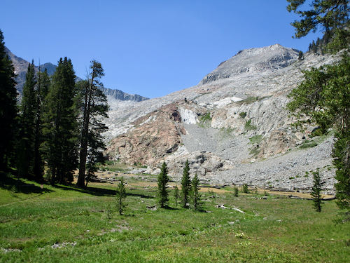
Hello, little pond!
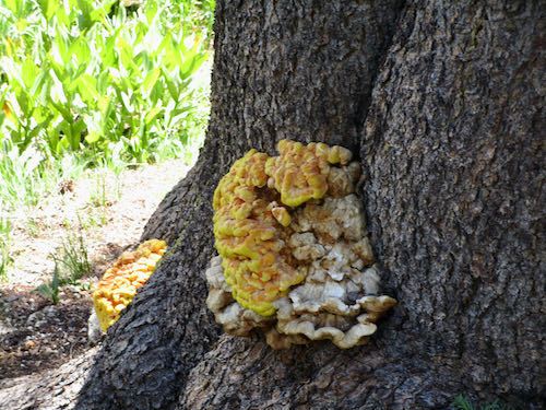
Hello, weird ugly lichen!
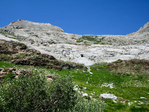
Almost to our destination, but no plans to cross the creek and go see the mining tunnel. (Can you spot it on the white wall?)
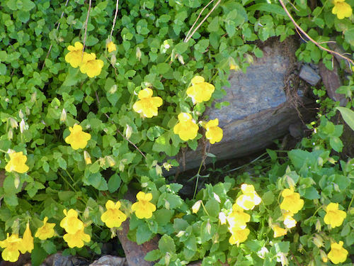
Hello, Seep Spring Monkey flowers!I continued counting wildflowers and found 14 more varieties after the junction.  
My feet don’t hurt in my new “hiking boots” (Crocs All Terrain model) but it always feels wonderful to put them in icy water. (my feet, not my shoes)
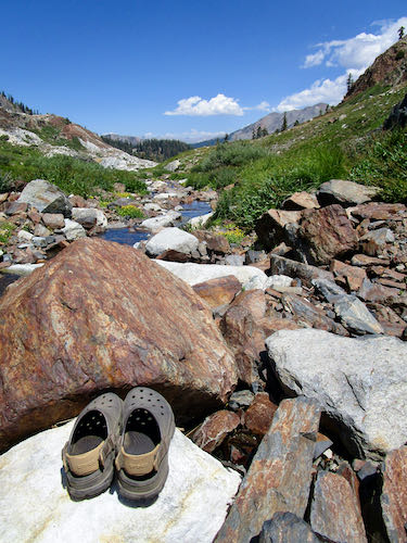
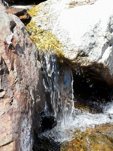
That jagged-top peak is Vandever, the one on the right side of Farewell Gap. It appears much rougher from this viewpoint than from the Mineral King valley floor.
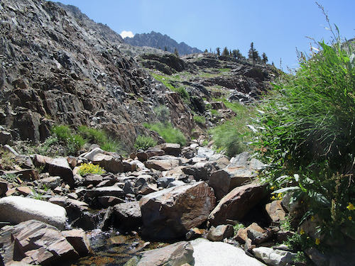
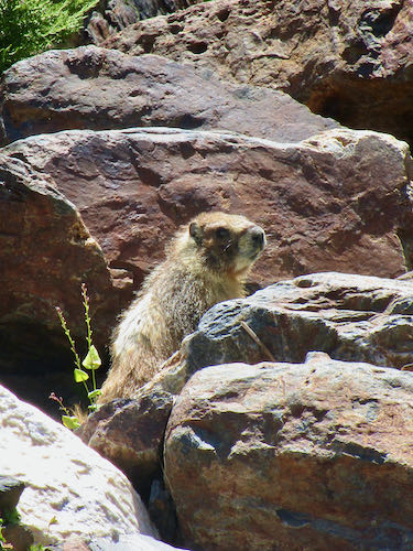
A marmot was quite interested in sneaking up on Trail Guy and inspecting his lunch.
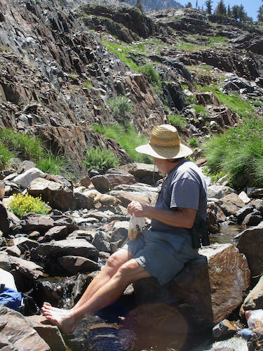
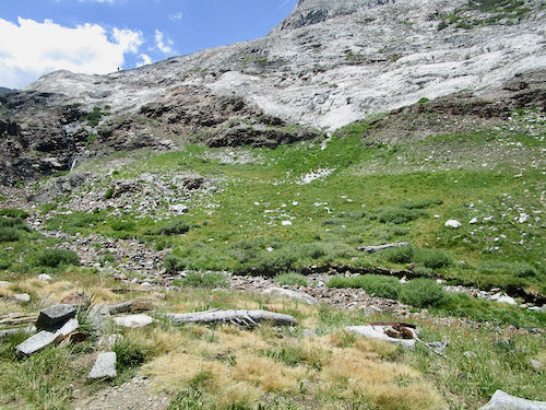
Someone has made quite a pile along the trail to indicate where to head down to the creek crossing and head up to the mining tunnel. Can you spot the tunnel in this photo?
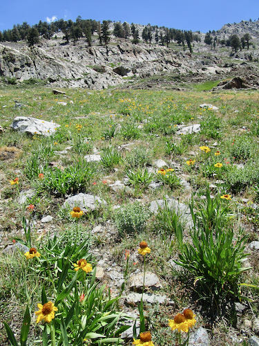
Obviously, there is a drainage of some sort here for the Bigelow Sneezeweed to run up the hillside. People are often discussing drought, but the truth is that we had twice as much rainfall last winter as the previous one.
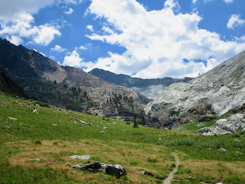
Farewell, White Chief.
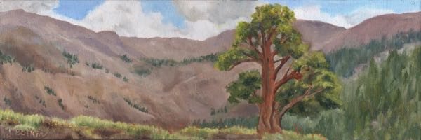
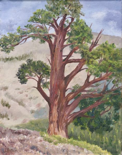
This is “everyone’s” favorite juniper. I have painted it quite a few times.
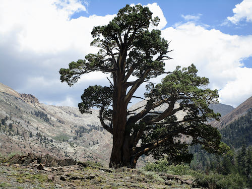
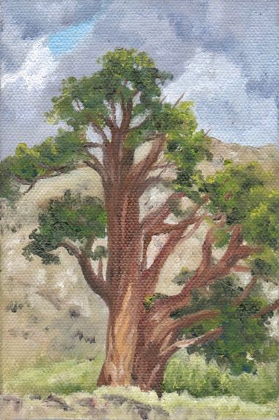
I painted it once from this angle, which isn’t quite as impressive.
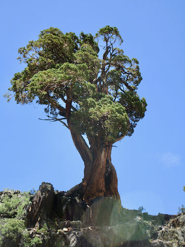
We made it home, dusty, tired, and happy to have visited our favorite Mineral King destination once again.

Do you have a favorite Mineral King destination?
The Juniper Everyone Loves

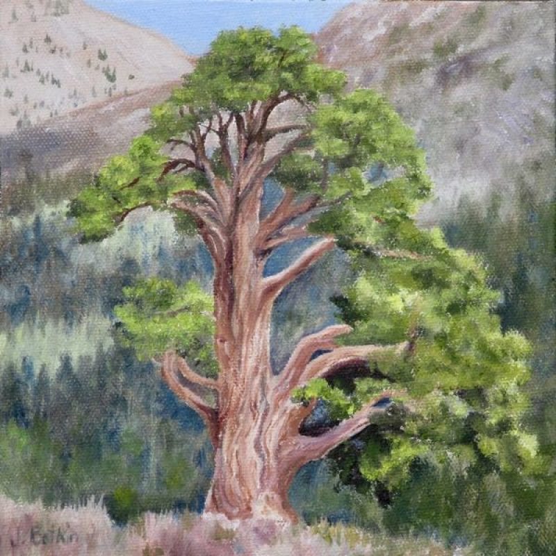
A friend/customer requested an 8×8″ oil painting of the juniper tree on the trail to White Chief in Mineral King. Everyone* loves this tree. I even talked to someone who said she performed a wedding beneath the tree several years ago. I’ve painted this tree several times, different sizes and different shapes.


This is not the same one but it is on the same trail. It doesn’t have quite the same visual impact. Besides, it is on a steeper section of the trail and not quite as visible.

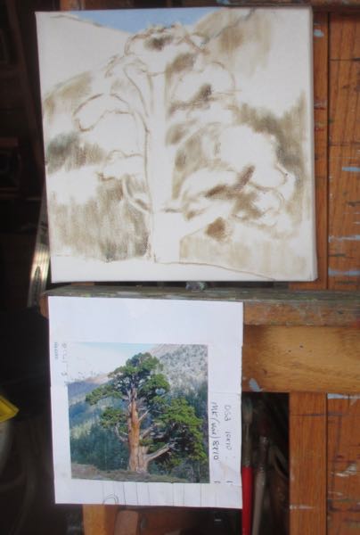
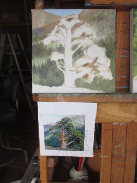
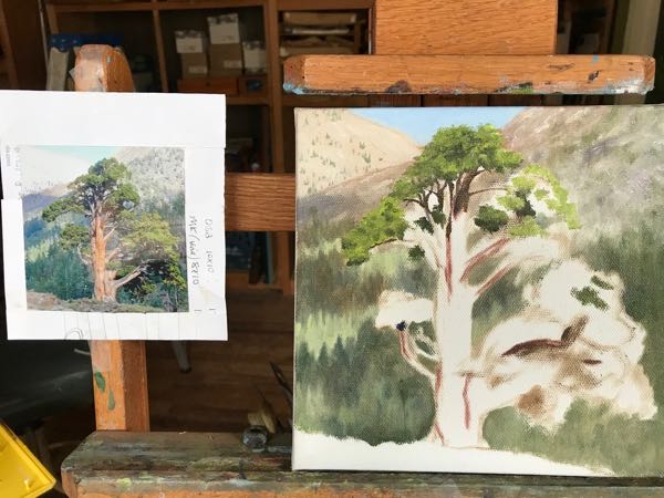
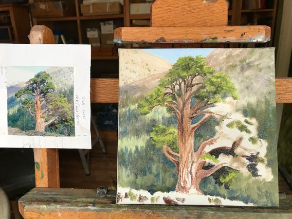
Here is the sixth time in steps:

Every time I paint this, I am determined that it will be The Best Juniper Painting I Have Ever Done.

*I know not “everyone” loves it; not “everyone” has seen it. Besides, maybe we love it because it gives us an excuse to stop on the the steepest trail in Mineral King.

What Do We Do In Mineral King?

Sometimes in Mineral King we just hang around the cabin, knitting, splitting wood, reading, playing a game called Mancala (I don’t like games but this is a tradition with my annual guest PC, and besides, the marbles are really beautiful), and baking pies in a wood stove oven.

Then we say, “What are we doing?? It is a beautiful day, and we could be out on a trail!”

Sometimes, a hike is just too much trouble. Pack up food, water, be prepared to be gone the bulk of the day, find a walking stick, do you need a poncho or parka, which camera shall we take, can I fit in this knitting in case I’m just sitting around?

So, we opt to not take food or water and just go for a walk.

Look Ma, no packs! It is just a walk, not a hike, after all.

A mighty steep walk. Some parts of the trail to White Chief are so steep that I have to do them on my tip-toes, because it is hard for my feet to bend at the angle of the trial.

As we were heading up the trail, I kept wondering, “Who Moved My Chief?”

Okay, that’s far enough. Can we go back now? It looks sort of as if it might rain.

Good camouflage, Miss Deery.

Weird sky, weird glowing light on Sawtooth, which is behind the darker peak that we call “Sawtooth’s Shadow”, even though its real name is “Mineral Peak”.

Final view of the trail as we hurried back to the cabin – aren’t those walking sticks interesting? Handy if you are heading out, but they won’t keep you dry in the rain.

PC LOVES the rain! I can tolerate it if I have a decent parka or poncho, and Trail Guy HATES to be caught out in it. The whole gamut of rain opinions resides in our cabin, but we are all immensely grateful for any water that falls from the sky.